Toggle navigation
LMEC Home
Exhibitions
Georeferencing
Tools for Teachers
Collections
My Favorites
Sign Up / Log In
Search
Search the map portal
Map Collection
Map Collection
Map Sets
Search
Search
Search for
Search In
All Fields
Creator
Title
Subject
Place
Search All Digital Collections
Advanced Search
148 Results
My Search
Start Over
1918
Remove constraint 1918
Filter your Search
Place
Europe
83
North and Central America
40
United States
36
France
27
Asia
16
Balkan Peninsula
12
Belgium
10
Africa
7
more
Place
»
Topic
Europe--Maps
17
France--Maps
17
World War, 1914-1918--Europe--Maps
11
World War, 1914-1918--Maps
10
Balkan Peninsula--Maps
9
Belgium--Maps
9
Long Trail (Vt.)--Maps
7
Trails--Vermont--Maps
7
more
Topic
»
Date
Date range begin
–
Date range end
Current results range from
1831
to
1934
View distribution
Creator
American Geographical Society of New York
32
Gross, Alexander, 1879-1958
28
Congdon, Herbert Wheaton, 1876-1965
7
Army Service Schools (U.S.)
5
C.S. Hammond & Company
5
France. Armée. Groupe de canevas de tir
5
United States. Army. Army, 2nd
5
United States. Army. Engineer Reproduction Plant
5
more
Creator
»
Format
Maps/Atlases
148
Georeferenced
Yes
15
No
133
Collection
Norman B. Leventhal Map & Education Center Collection
142
Boston and New England Maps
5
Urban Maps
5
American Textile History Museum Image Collection
3
Massachusetts Real Estate Atlases
2
Town plans, 1830
1
Available to use
No known restrictions
143
Search Constraints
Sort by relevance
relevance
title
date (asc)
date (desc)
Number of results to display per page
20 per page
10
per page
20
per page
50
per page
100
per page
View results as:
grid view
map view
Search Results
81.
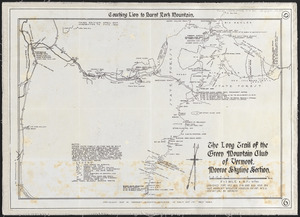
The Long Trail of the Green Mountain Club of Vermont : Monroe Skyline section: Couching Lion to Burnt Rock Mountain
82.
Manitoba : map showing disposition of lands
83.
Roumania
84.
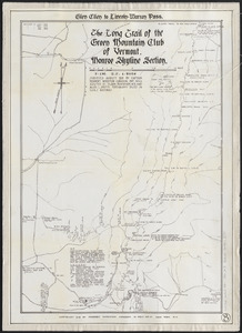
The Long Trail of the Green Mountain Club of Vermont : Monroe Skyline section : Glen Ellen to Lincoln-Warren Pass
85.
Map shewing the railways of Canada, to accompany annual report on railway statistics 1884
86.
Eastern Hungary
87.
Eastern Hungary
88.
Alberta, southern : map showing disposition of lands
89.
London
90.
Map railway route, Seward to Fairbanks : (including Matanuska - branch)
91.
Siberia
92.
Hammond's comprehensive map of the United States with portions of Canada and Mexico
93.
Preliminary chart of Agate Harbor, Lake Superior
94.
Rand McNally & Co's new commercial map of Europe
95.
Anatolia and Armenia
96.
Asia
97.
The Balkans
98.
Baltic Basin
99.
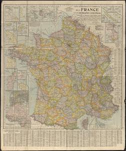
Carte geographique et commerciale de la France et de son domaine colonial : indiquant les départements, routes principales,...
100.
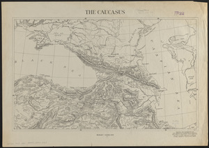
The Caucasus
‹ Prev
Next ›
1
2
3
4
5
6
7
8