Toggle navigation
LMEC Home
Exhibitions
Georeferencing
Tools for Teachers
Collections
My Favorites
Sign Up / Log In
Search
Search the map portal
Map Collection
Map Collection
Map Sets
Search
Search
Search for
Search In
All Fields
Creator
Title
Subject
Place
Search All Digital Collections
Advanced Search
187 Results
My Search
Start Over
1885
Remove constraint 1885
Filter your Search
Place
North and Central America
152
United States
110
Massachusetts
39
Costa Rica
17
Boston
16
Europe
16
Suffolk (county)
16
Virginia
9
more
Place
»
Topic
Boston (Mass.)--Maps
7
Grant, Ulysses S. (Ulysses Simpson), 1822-1885
5
Fire risk assessment--Massachusetts--Boston--Maps
4
Richmond (Va.)--History--Civil War, 1861-1865--Maps
4
Boston (Mass.)--Aerial views
3
Europe--Maps
3
North Carolina--Maps
3
Bahamas--Maps
2
more
Topic
»
Date
Date range begin
–
Date range end
Current results range from
1694
to
1925
View distribution
Creator
United States. Hydrographic Office
48
O.H. Bailey & Co
21
Franke, M. (Max)
11
Geological Survey (U.S.)
9
Ruebsam, E. A. (E. August)
9
Bachmann, John, fl. 1849-1885
8
Erni, A. (Adolphe)
7
Lesher, C. E. (Carl Eugene), 1885-
7
more
Creator
»
Format
Maps/Atlases
184
Manuscripts
3
Prints
2
Books
1
Georeferenced
Yes
10
No
177
Collection
Norman B. Leventhal Map & Education Center Collection
182
Urban Maps
62
Maritime Charts and Atlases
55
Boston and New England Maps
47
Lucius Beebe Memorial Library Historic Maps
1
Massachusetts Real Estate Atlases
1
Ralph Finos Map Collection at Phillips Academy
1
Sidney R. Knafel Map Collection at Phillips Academy
1
more
Collection
»
Available to use
No known restrictions
185
Search Constraints
Sort by relevance
relevance
title
date (asc)
date (desc)
Number of results to display per page
20 per page
10
per page
20
per page
50
per page
100
per page
View results as:
grid view
map view
Search Results
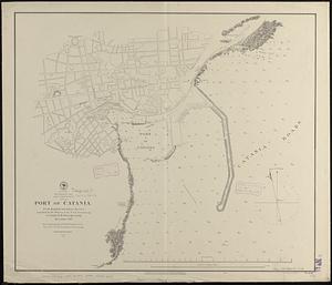
81.
Mediterranean Sea, east coast of Sicily, Port of Catania
82.
Map of Boston and of a part of its suburbs : showing public recreation grounds, burial grounds and certain other public...
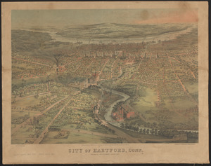
83.
City of Hartford, Conn.
84.
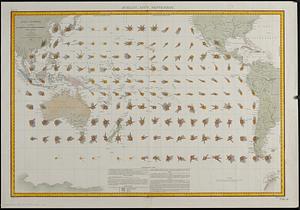
Océan Pacifique : cartes de la direction et de l'intensité probables des vents
85.
South western districts
86.
Insurance map of Boston vol. 3 (South & East Boston)
87.
Insurance maps of Boston volume 4 : comprising portions of Charlestown, East Cambridge, Cambridge Port, Old Cambridge & Somerville
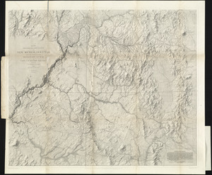
88.
Map of explorations and surveys in New Mexico and Utah made under the direction of the Secretary of War by Capt. J. N. Macomb...
89.
Map of n. eastern Virginia and vicinity of Washington
90.
The Graphic map of Bulgaria, eastern Roumelia, the Turkish Empire in Europe, etc., according to the Treaty of Berlin
91.
Photo relief map of Europe
92.
Map of Massachusetts
93.
Insurance maps of Boston volume two
94.
Ancient Spain & Portugal : Hispania or Iberia
95.
Map of the State of Rhode Island and Providence Plantations
96.
Mediterranean Sea, west coast of Italy, Avenza Road
97.
North America, west coast of Central America, Judas Point to Burica Point
98.
North America, west coast of Central America, San Juan del Sur to Judas Point
99.
Photo relief map of Scotland
100.
North America, River St. Lawrence, Montreal Harbour
‹ Prev
Next ›
1
2
3
4
5
6
7
8
9
10