Toggle navigation
LMEC Home
Exhibitions
Georeferencing
Tools for Teachers
Collections
My Favorites
Sign Up / Log In
Search
Search the map portal
Map Collection
Map Collection
Map Sets
Search
Search
Search for
Search In
All Fields
Creator
Title
Subject
Place
Search All Digital Collections
Advanced Search
91 Results
My Search
Start Over
1803
Remove constraint 1803
Filter your Search
Place
North and Central America
70
United States
63
North America
12
Europe
10
New York
7
Massachusetts
5
Canada
4
Ohio
4
more
Place
»
Topic
North America--Maps--Early works to 1800
8
United States--Maps
7
United States--Maps--Early works to 1800
5
Georgia--Maps
3
Manhattan (New York, N.Y.)--Maps
3
Maryland--Maps
3
New York (N.Y.)--Administrative and political divisions--Maps
3
North America--Maps
3
more
Topic
»
Date
Date range begin
–
Date range end
Current results range from
1753
to
1932
View distribution
Creator
Barker, W. (William), active 1795-1803
32
Carey, Mathew, 1760-1839
32
Burr, David H., 1803-1875
8
Brion de la Tour, Louis, 1743-1803
6
Esnauts et Rapilly
5
Lewis, Samuel, 1753 or 4-1822
5
Arrowsmith, Aaron, 1750-1823
3
Dorman, Moses, 1803-1877
3
more
Creator
»
Format
Maps/Atlases
91
Georeferenced
Yes
8
No
83
Collection
Norman B. Leventhal Map & Education Center Collection
59
American Revolutionary War-Era Maps
31
MacLean Collection Map Library
15
Boston and New England Maps
10
Urban Maps
9
New York Public Library Collection
5
Maps from AAS
3
Richard H. Brown Revolutionary War Map Collection at Mount Vernon
3
more
Collection
»
Available to use
No known restrictions
62
Creative Commons license
9
Search Constraints
Sort by relevance
relevance
title
date (asc)
date (desc)
Number of results to display per page
20 per page
10
per page
20
per page
50
per page
100
per page
View results as:
grid view
map view
Search Results
81.
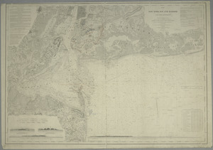
Map of New-York Bay and Harbor and the environs : [with colored manuscript additions to show positions of troops and fleets at...
82.
Map of Plymouth County, Mass.
83.
États Unis
84.
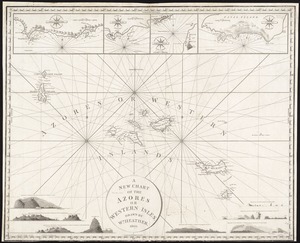
A new chart of the Azores or Western Isles
85.
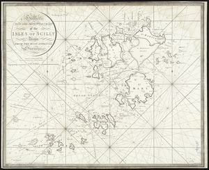
Heather's New and Improved Chart of the Isles of Scilly
86.
Chart of the West Indies and Spanish Dominions in North America
87.
A new map of the United States of America : drawn from the latest authorities
88.
Plan of the city of New-York
89.
[Six sectional drawings of the Harbour of Saint John, Newfoundland]
90.
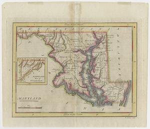
Maryland
91.
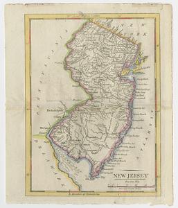
New Jersey
‹ Prev
Next ›
1
2
3
4
5


![[Six sectional drawings of the Harbour of Saint John, Newfoundland]](https://bpldcassets.blob.core.windows.net/derivatives/images/commonwealth:6108vv37h/image_thumbnail_300.jpg)