Toggle navigation
LMEC Home
Exhibitions
Georeferencing
Tools for Teachers
Collections
My Favorites
Sign Up / Log In
Search
Search the map portal
Map Collection
Map Collection
Map Sets
Search
Search
Search for
Search In
All Fields
Creator
Title
Subject
Place
Search All Digital Collections
Advanced Search
140 Results
My Search
Start Over
vermont
Remove constraint vermont
Filter your Search
Place
North and Central America
132
United States
79
Vermont
58
New England
32
New York
22
New Hampshire
18
Massachusetts
13
Canada
8
more
Place
»
Topic
Vermont--Maps
30
New England--Maps
22
Railroads--New England--Maps
12
New Hampshire--Maps
11
Long Trail (Vt.)--Maps
9
New York (State)--Maps
9
Trails--Vermont--Maps
9
Vermont--Maps--Early works to 1800
8
more
Topic
»
Date
Date range begin
–
Date range end
Current results range from
1744
to
2015
View distribution
Creator
Burleigh, L. R., 1853-1923
10
Congdon, Herbert Wheaton, 1876-1965
9
United States. Post Office Dept
7
Faden, William, 1749-1836
5
Walling, Henry Francis, 1825-1888
5
Cram, George Franklin, 1841-1928
4
Doolittle, Amos, 1754-1832
4
Green Mountain Club
4
more
Creator
»
Format
Maps/Atlases
139
Manuscripts
13
Objects/Artifacts
1
Prints
1
Georeferenced
Yes
18
No
122
Collection
Norman B. Leventhal Map Center Collection
102
Boston and New England Maps
68
American Revolutionary War-Era Maps
49
Urban Maps
17
William L. Clements Library Collection
7
American Antiquarian Society Collection
6
British Library Collection
5
Library of Congress Collection
5
more
Collection
»
Available to use
No known restrictions
103
Creative Commons license
18
Search Constraints
Sort by date (asc)
relevance
title
date (asc)
date (desc)
Number of results to display per page
20 per page
10
per page
20
per page
50
per page
100
per page
View results as:
grid view
map view
Search Results
81.
Map of Addison County, Vermont
82.
Map of Chittenden County, Vermont
83.
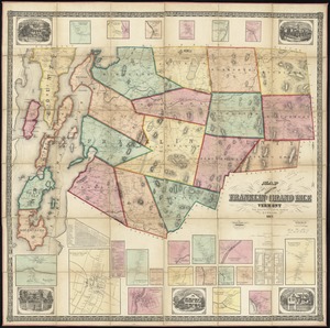
Map of the counties of Franklin and Grand Isle, Vermont : from actual surveys
84.
Map of Caledonia County, Vermont
85.
Map of Washington County, Vermont
86.
Colton's New Hampshire
87.
Post route map of the states of New Hampshire, Vermont, Massachusetts, Rhode Island, Connecticut, and parts of New York and Maine
88.
Post route map of the states of New Hampshire, Vermont, Massachusetts, Rhode Island, Connecticut, and parts of New York and Maine
89.
Colton's Vermont
90.
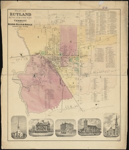
Plan of Rutland, Rutland County, Vermont
91.
Map showing the lines of canals & rail roads owned, leased & operated by the Delaware and Hudson Canal and Rail Road Co. with...
92.
Townsend's Patent folding globe
93.
Post route map of the states of New Hampshire, Vermont, Massachusetts, Rhode Island, Connecticut, and parts of New York and Maine
94.
Brattleboro, Vt : 1876
95.
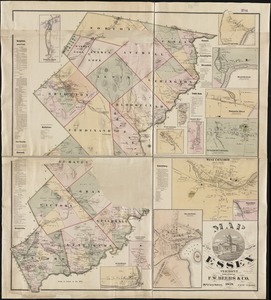
Map of the county of Essex, Vermont
96.
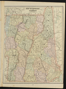
New Hampshire and Vermont
97.
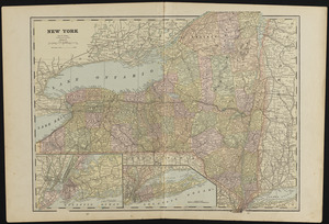
New York
98.
Barre, Washington County, Vt : 1884
99.
Lyndonville, Caledonia County, Vermont : 1884
100.
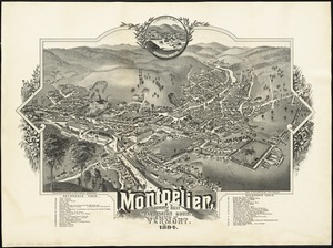
Montpelier, county seat of Washington County & capital of Vermont : 1884
‹ Prev
Next ›
1
2
3
4
5
6
7