Toggle navigation
LMEC Home
Exhibitions
Georeferencing
Tools for Teachers
Collections
My Favorites
Sign Up / Log In
Search
Search the map portal
Map Collection
Map Collection
Map Sets
Search
Search
Search for
Search In
All Fields
Creator
Title
Subject
Place
Search All Digital Collections
Advanced Search
14164 Results
Filter your Search
Place
North and Central America
10,832
United States
8,868
Massachusetts
2,832
Suffolk (county)
1,688
Boston
1,644
Europe
1,428
Canada
1,010
New York
684
more
Place
»
Topic
Boston (Mass.)--Maps
753
City planning--Massachusetts--Boston--Maps
419
United States--History--Revolution, 1775-1783--Maps
331
United States--Maps
331
Real property--Massachusetts--Boston--Maps
254
Urban renewal--Massachusetts--Boston--Maps
254
North America--Maps--Early works to 1800
241
Massachusetts--Maps
236
more
Topic
»
Date
Date range begin
–
Date range end
Current results range from
1482
to
2023
View distribution
Creator
United States. Hydrographic Office
597
Boston Redevelopment Authority
404
Des Barres, Joseph F. W. (Joseph Frederick Wallet), 1722-1824
247
Jefferys, Thomas, -1771
172
United States. National Ocean Service
170
Royal United Services Institute for Defence and Security Studies
160
George, III, King of Great Britain, 1738-1820
152
George, IV, King of Great Britain, 1762-1830
151
more
Creator
»
Format
Maps/Atlases
13,978
Manuscripts
985
Prints
102
Books
53
Drawings/Illustrations
44
Photographs
15
Objects/Artifacts
13
Documents
7
more
Format
»
Georeferenced
Yes
979
No
13,185
Collection
Norman B. Leventhal Map & Education Center Collection
9,162
American Revolutionary War-Era Maps
3,629
Boston and New England Maps
2,936
Urban Maps
2,511
Maritime Charts and Atlases
1,169
William L. Clements Library Collection
910
Library of Congress Collection
618
Boston Redevelopment Authority Collection
475
more
Collection
»
Available to use
No known restrictions
10,408
Creative Commons license
1,678
Search Constraints
Sort by relevance
relevance
title
date (asc)
date (desc)
Number of results to display per page
20 per page
10
per page
20
per page
50
per page
100
per page
View results as:
grid view
map view
Search Results
9921.
Plan of Norwich (Huntington) made by Joseph Kirkland, dated 1831
9922.
Plan of Oak Bluffs, Marthas Vineyard
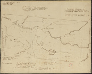
9923.
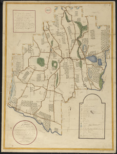
Plan of Oakham, made by Daniel Walker, dated 1794-5.
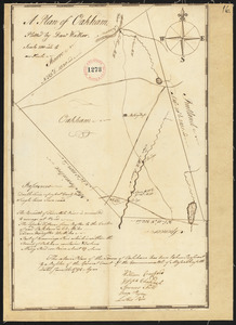
9924.
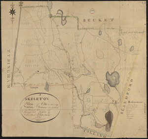
Plan of Oakham made by James Allen, dated November 1830
9925.
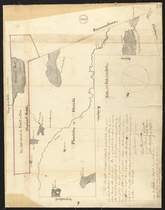
Plan of Ocean View, Pigeon Cove, Mass
9926.
Plan of old fort Frontenac and town plot of Kingston
9927.
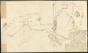
Plan of Orange made by Jonathan Blake, Jr., dated February 15, 1831
9928.
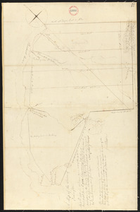
Plan of Orange, surveyor's name not given, dated May 1795.
9929.
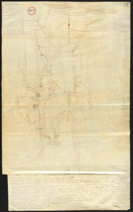
Plan of Orient Heights, Boston, Mass
9930.
Plan of Orrington surveyed by Levi Carter, dated April 28, 1795.
9931.
Plan of Otis (Loudon), surveyor's name not given, dated October 30, 1794.
9932.
Plan of Otis made by Luke Barber, dated Mar. 10, 1831
9933.
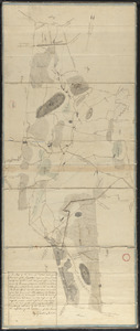
Plan of Otisfield, made by Oliver Prescott, Jr., dated 1794-5, showing Shepard's Grant i.e. Phillips Gore.
9934.
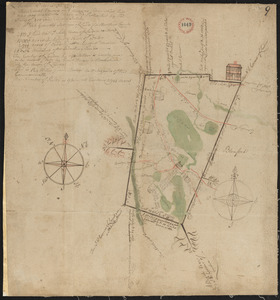
Plan of Oxford made by Ebenezer Waters, dated November 1794.
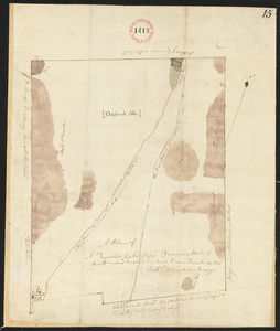
9935.
Plan of Oxford made by Sylvester McIntyre, dated April 1830
9936.
Plan of Oxford surveyed by Nathaniel Chamberlin dated December 23, 1795.
9937.
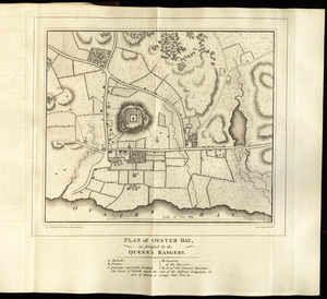
Plan of Oyster Bay, as fortified by the Queen's Rangers
9938.
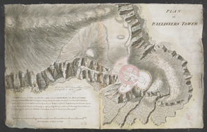
PLAN of PALLISSERS TOWER
9939.
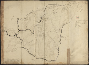
Plan of Palmer made by William Woods, dated 1830
9940.
Plan of Palmer surveyed by Admatha Blodgett, dated May, 1795.
‹ Prev
Next ›
1
2
…
493
494
495
496
497
498
499
500
501
…
708
709