Toggle navigation
LMEC Home
Exhibitions
Georeferencing
Tools for Teachers
Collections
My Favorites
Sign Up / Log In
Search
Search the map portal
Map Collection
Map Collection
Map Sets
Search
Search
Search for
Search In
All Fields
Creator
Title
Subject
Place
Search All Digital Collections
Advanced Search
14021 Results
Filter your Search
Place
North and Central America
10,683
United States
8,692
Massachusetts
2,808
Suffolk (county)
1,682
Boston
1,638
Europe
1,420
Canada
1,009
New York
674
more
Place
»
Topic
Boston (Mass.)--Maps
748
City planning--Massachusetts--Boston--Maps
418
United States--History--Revolution, 1775-1783--Maps
331
United States--Maps
328
Real property--Massachusetts--Boston--Maps
254
Urban renewal--Massachusetts--Boston--Maps
254
North America--Maps--Early works to 1800
240
Massachusetts--Maps
234
more
Topic
»
Date
Date range begin
–
Date range end
Current results range from
1482
to
2023
View distribution
Creator
United States. Hydrographic Office
597
Boston Redevelopment Authority
404
Des Barres, Joseph F. W. (Joseph Frederick Wallet), 1722-1824
247
Jefferys, Thomas, -1771
172
Royal United Services Institute for Defence and Security Studies
160
George, III, King of Great Britain, 1738-1820
152
George, IV, King of Great Britain, 1762-1830
151
O.H. Bailey & Co
148
more
Creator
»
Format
Maps/Atlases
13,839
Manuscripts
985
Prints
102
Books
49
Drawings/Illustrations
44
Photographs
15
Objects/Artifacts
13
Documents
7
more
Format
»
Georeferenced
Yes
979
No
13,042
Collection
Norman B. Leventhal Map & Education Center Collection
9,110
American Revolutionary War-Era Maps
3,627
Boston and New England Maps
2,921
Urban Maps
2,480
Maritime Charts and Atlases
1,169
William L. Clements Library Collection
910
Library of Congress Collection
618
Boston Redevelopment Authority Collection
475
more
Collection
»
Available to use
No known restrictions
10,268
Creative Commons license
1,678
Search Constraints
Sort by relevance
relevance
title
date (asc)
date (desc)
Number of results to display per page
20 per page
10
per page
20
per page
50
per page
100
per page
View results as:
grid view
map view
Search Results
9901.
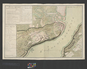
Plan of Quebec, the capital of Canada in North America, with the bason and part of the adjacent contry [sic] shewing the...
9902.
Plan of Quebec, the capital of Canada in North America, with the bason and part of the adjacent contry [sic] shewing the...
9903.
A plan of Quebec the capital of New France or Canada
9904.
Plan of Québec with the positions of the British and French army's on the Heights of Abraham 13th of Sept. 1759 : repetition...
9905.
Plan of Quincy House lot, corner of Brattle St. and Brattle Sq. belonging to the estate of Josiah Quincy Jr : to be sold by...
9906.
Plan of Quincy made by John G. Hales, dated 1830
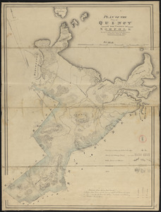
9907.
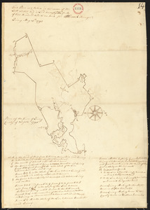
Plan of Quincy surveyed by W French, dated 1794-5.
9908.
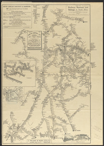
Plan of railway stations and sidings in South Africa
9909.
Plan of Randolph made by Royal Turner, dated 1830
9910.
Plan of Randolph, made by "Set Turner Junior" according to Seth Turner Crawford of Randolph, his great great grandson, 10...
9911.
Plan of Raymond surveyed by Osgood Carleton, dated 1798.
9912.
Plan of Raynham made by Godfrey Robinson, dated September 27, 1831
9913.
Plan of Raynham, surveyor's name not given, dated 1794-5.
9914.
Plan of Readfield, Washington Plantation and Belgrade (Mt. Vernon), made by J Prescott, dated 1794-5.
9915.
Plan of Reading and Lynnfield, made by Daniel Needham, dated November 1794. Scale 200 rds to 1 in.
9916.
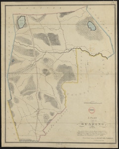
Plan of Reading made by Edmund Parker, dated 1830
9917.
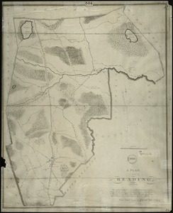
Plan of Reading, Mass. : showing roads, bodies of water, woodlands, homes, churches, schools, post offices, and taverns
9918.
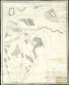
Plan of Reading, Mass
9919.
Plan of real estate belonging to Phillips Academy, Andover Mass.
9920.
Plan of real estate belonging to T.W. & J.H. Cox : situated in ward 16, Boston
‹ Prev
Next ›
1
2
…
492
493
494
495
496
497
498
499
500
…
701
702
![Plan of Quebec, the capital of Canada in North America, with the bason and part of the adjacent contry [sic] shewing the principal encampments and works of the British Army commanded by Maior General Wolfe and those of the French Army commanded by Lieut. General, the Marquis of Mont Calm during the siege of that place in 1759 [overlay down]](https://bpldcassets.blob.core.windows.net/derivatives/images/commonwealth:q524nd83b/image_thumbnail_300.jpg)
![Plan of Quebec, the capital of Canada in North America, with the bason and part of the adjacent contry [sic] shewing the principal encampments and works of the British Army commanded by Maior General Wolfe and those of the French Army commanded by Lieut. General, the Marquis of Mont Calm during the siege of that place in 1759 [overlay up]](https://bpldcassets.blob.core.windows.net/derivatives/images/commonwealth:q524nd81s/image_thumbnail_300.jpg)