Toggle navigation
LMEC Home
Exhibitions
Georeferencing
Tools for Teachers
Collections
My Favorites
Sign Up / Log In
Search
Search the map portal
Map Collection
Map Collection
Map Sets
Search
Search
Search for
Search In
All Fields
Creator
Title
Subject
Place
Search All Digital Collections
Advanced Search
13385 Results
Filter your Search
Place
North and Central America
10,111
United States
8,249
Massachusetts
2,691
Suffolk (county)
1,664
Boston
1,621
Europe
1,386
Canada
949
New York
640
more
Place
»
Topic
Boston (Mass.)--Maps
741
City planning--Massachusetts--Boston--Maps
418
United States--History--Revolution, 1775-1783--Maps
329
United States--Maps
315
Urban renewal--Massachusetts--Boston--Maps
254
Real property--Massachusetts--Boston--Maps
252
Massachusetts--Maps
219
Insurance surveys
197
more
Topic
»
Date
Date range begin
–
Date range end
Current results range from
1482
to
2023
View distribution
Creator
United States. Hydrographic Office
595
Boston Redevelopment Authority
403
Des Barres, Joseph F. W. (Joseph Frederick Wallet), 1722-1824
247
Royal United Services Institute for Defence and Security Studies
160
Jefferys, Thomas, -1771
154
George, III, King of Great Britain, 1738-1820
152
George, IV, King of Great Britain, 1762-1830
151
O.H. Bailey & Co
148
more
Creator
»
Format
Maps/Atlases
13,205
Manuscripts
985
Prints
102
Books
49
Drawings/Illustrations
44
Photographs
15
Objects/Artifacts
13
Documents
7
more
Format
»
Georeferenced
Yes
979
No
12,406
Collection
Norman B. Leventhal Map & Education Center Collection
8,891
American Revolutionary War-Era Maps
3,305
Boston and New England Maps
2,804
Urban Maps
2,397
Maritime Charts and Atlases
1,150
William L. Clements Library Collection
910
Library of Congress Collection
618
Boston Redevelopment Authority Collection
475
more
Collection
»
Available to use
No known restrictions
9,952
Creative Commons license
1,677
Search Constraints
Sort by date (desc)
relevance
title
date (asc)
date (desc)
Number of results to display per page
20 per page
10
per page
20
per page
50
per page
100
per page
View results as:
grid view
map view
Search Results
9401.
A Correct map of the island of Minorca, with an accurate plan of Fort St. Philip & its environs, and the French approaches and...
9402.
The Dutch islands of St. Eustatia, Saba, and St. Martins ; the French island of St. Bartholomew ; the English islands of St....
9403.
The environs of Fort Cumberland in the Bay of Fundy
9404.
L'Evesché de Blois, dìvìsé en archìdìaconéz et doyennéz
9405.
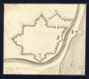
Fort-Griswold
9406.
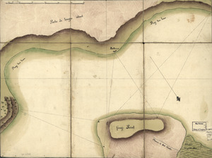
[French Plan of York Town Virginia]
9407.
Frog's Point avec batteries de Partie de Longue Island
9408.
Ft. Provost in 1781
9409.
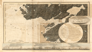
Halifax Harbour ... Catch Harbour ...
9410.
Halifax Harbour ... Catch Harbour ... small vessels only
9411.
Isle de Newyork : reconnaissance des ouvrages du nord de lisle de Newyork faite en presence des Généraux, Wasington et...
9412.
Leith Harbour ; Prospect Harbour ; Bristol Bay ; Sambro Harbour
9413.
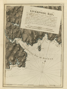
Liverpool Bay
9414.
Lord Cornwallis surrender, 1781
9415.
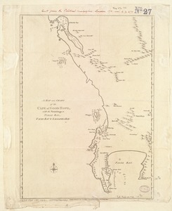
A Map and chart of the Cape of Good Hope, with the soundings in Table Bay, False Bay and Saldanha Bay
9416.
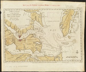
A map and chart of those parts of the Bay of Chesapeak, York and James Rivers which are at present the seat of war
9417.
A map containing part of the Provinces of New York and New Jersey
9418.
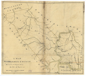
A map, Middlesex County
9419.
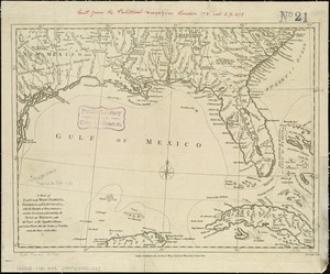
A map of East and West Florida, Georgia, and Louisiana, with the islands of Cuba, Bahama, and the countries surrounding the...
9420.
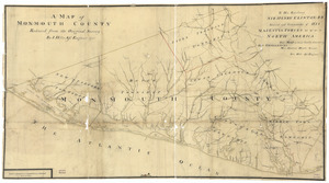
A map of Monmouth County
‹ Prev
Next ›
1
2
…
467
468
469
470
471
472
473
474
475
…
669
670


![[French Plan of York Town Virginia]](https://bpldcassets.blob.core.windows.net/derivatives/images/commonwealth:hx11z256q/image_thumbnail_300.jpg)