Toggle navigation
LMEC Home
Exhibitions
Georeferencing
Tools for Teachers
Collections
My Favorites
Sign Up / Log In
Search
Search the map portal
Map Collection
Map Collection
Map Sets
Search
Search
Search for
Search In
All Fields
Creator
Title
Subject
Place
Search All Digital Collections
Advanced Search
13385 Results
Filter your Search
Place
North and Central America
9,353
United States
7,286
Suffolk (county)
1,664
Boston
1,621
Europe
1,035
Canada
949
Massachusetts
875
New York
534
more
Place
»
Topic
Boston (Mass.)--Maps
741
City planning--Massachusetts--Boston--Maps
418
United States--History--Revolution, 1775-1783--Maps
329
United States--Maps
315
Urban renewal--Massachusetts--Boston--Maps
254
Real property--Massachusetts--Boston--Maps
252
Massachusetts--Maps
219
Insurance surveys
197
more
Topic
»
Date
Date range begin
–
Date range end
Current results range from
1482
to
2023
View distribution
Creator
United States. Hydrographic Office
595
Boston Redevelopment Authority
403
Des Barres, Joseph F. W. (Joseph Frederick Wallet), 1722-1824
247
Royal United Services Institute for Defence and Security Studies
160
Jefferys, Thomas, -1771
154
George, III, King of Great Britain, 1738-1820
152
George, IV, King of Great Britain, 1762-1830
151
O.H. Bailey & Co
148
more
Creator
»
Format
Maps/Atlases
13,205
Manuscripts
985
Prints
102
Books
49
Drawings/Illustrations
44
Photographs
15
Objects/Artifacts
13
Documents
7
more
Format
»
Georeferenced
Yes
979
No
12,406
Collection
Norman B. Leventhal Map Center Collection
8,891
American Revolutionary War-Era Maps
3,305
Boston and New England Maps
2,804
Urban Maps
2,397
Maritime Charts and Atlases
1,150
William L. Clements Library Collection
910
Library of Congress Collection
618
Boston Redevelopment Authority Collection
475
more
Collection
»
Available to use
No known restrictions
9,952
Creative Commons license
1,677
Search Constraints
Sort by relevance
relevance
title
date (asc)
date (desc)
Number of results to display per page
20 per page
10
per page
20
per page
50
per page
100
per page
View results as:
grid view
map view
Search Results
8821.
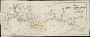
Plan of estate of the Boston Land Co. and surroundings
8822.
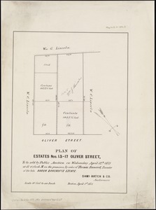
Plan of estates nos. 13-17 Oliver Street, to be sold by public auction on Wednesday April 12th 1871 at 12 o'clock m. on the...
8823.
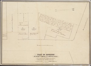
Plan of estates on Beacon St., Somerset St. & Pemberton Square : to be sold at auction by Whitwells & Seaver, on Thursday June...
8824.
[Plan of estates on Charles River bridge, Prince Street, Lynn Court, and Snow Hill Street]
8825.
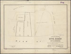
Plan of estates on High Street belonging to the City of Boston : to be sold by public auction on Thursday May 21st 1868, at 12...
8826.
Plan of estates on Suffolk St. District : belonging to the City of Boston : to be sold at public auction, Dec. 23rd 1871
8827.
Plan of estates on Suffolk St. district : belonging to the City of Boston : to be sold at public auction on Saturday Dec. 16th...
8828.
Plan of estates on Suffolk Street district, belonging to the City of Boston, to be sold at public auction, on Saturday, May 11,...
8829.
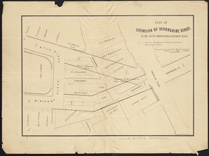
Plan of extension of Devonshire Street, by two routes through Otis and Winthrop Places
8830.
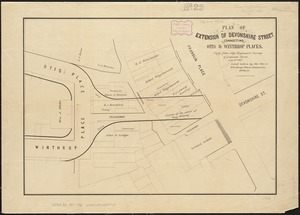
Plan of extension of Devonshire Street connecting Otis & Winthrop Places
8831.
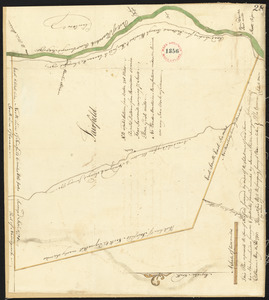
Plan of Fairfield, made by Abraham Sanders, dated May 11, 1795.
8832.
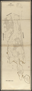
Plan of Fairhaven made by Ammittai B. Hammond, dated 1831
8833.
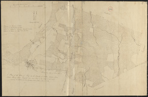
Plan of Fall River (Troy), surveyor's name not given, dated August 1831
8834.
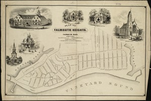
Plan of Falmouth Heights, Falmouth Mass., April 1st 1873
8835.
Plan of Falmouth made by Jesse Boyden, dated 1841
8836.
Plan of Falmouth made by John G. Hales, dated 1831
8837.
Plan of Falmouth, Maine, made by Joseph Noyes, dated 1794-5.
8838.
Plan of Falmouth, surveyor's name not given, dated May 20, 1795.
8839.
[Plan of farm lands in Chelsea belonging to the Bill family]
8840.
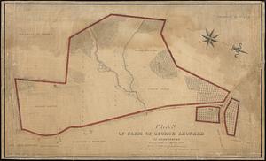
Plan of farm of George Leonard in Shrewsbury
‹ Prev
Next ›
1
2
…
438
439
440
441
442
443
444
445
446
…
669
670
![[Plan of estates on Charles River bridge, Prince Street, Lynn Court, and Snow Hill Street]](https://bpldcassets.blob.core.windows.net/derivatives/images/commonwealth:x059c9615/image_thumbnail_300.jpg)


![[Plan of farm lands in Chelsea belonging to the Bill family]](https://bpldcassets.blob.core.windows.net/derivatives/images/commonwealth:1257bc069/image_thumbnail_300.jpg)