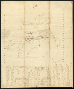
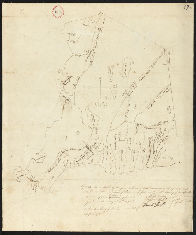
Plan of Falmouth, surveyor's name not given, dated May 20, 1795.
This map is also available in American Revolutionary Geographies Online (ARGO), a collections portal especially built for material relating to the American Revolutionary War Era. Visit ARGO to learn more about this item and explore the historical geography of North America in the late eighteenth century.
Item Information
- Title:
- Plan of Falmouth, surveyor's name not given, dated May 20, 1795.
- Date:
-
1795
- Format:
-
Maps/Atlases
- Location:
- Massachusetts Archives
- Collection (local):
-
Massachusetts. Office of the Secretary of State
- Series:
- Town Plans, 1794
- Places:
-
MassachusettsBarnstable (county)Falmouth
- Extent:
- 1 map : mounted on linen ; 41 x 51 cm
- Terms of Use:
-
No Copyright - United States
No known copyright restrictions.
No known restrictions on use.
- Scale:
-
Scale: 1:39,600
- Notes (historical):
-
For the compilation of a state map, each town in Massachusetts (including those in the five eastern counties now part of Maine) was required by Resolves 1794, May Sess, c 101 to make a town plan based on a survey no more than seven years old, to be submitted to the state secretary's office. Rivers, county roads, bridges, courthouses, places of public worship, and distances of the town center to the county shire town and to Boston were to be included, drawn on a scale of 200 rods to the inch. A map of Massachusetts proper and one of the District of Maine were compiled by Osgood Carleton from these plans and printed in 1802.
- Identifier:
-
no.1029
v.10:p.19