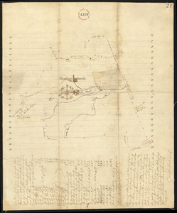
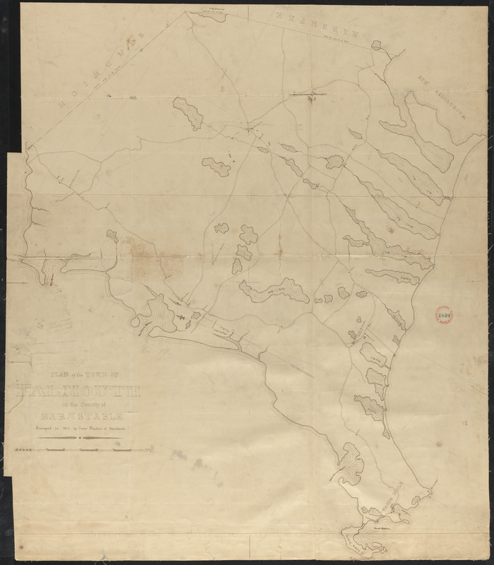
Plan of Falmouth made by Jesse Boyden, dated 1841
Item Information
- Title:
- Plan of Falmouth made by Jesse Boyden, dated 1841
- Surveyor:
- Boyden, Jesse
- Date:
-
1841
- Format:
-
Maps/Atlases
- Location:
- Massachusetts Archives
- Collection (local):
-
Massachusetts. Office of the Secretary of State
- Series:
- Town plans, 1830
- Places:
-
Barnstable (county)Falmouth
- Extent:
- 1 map : mounted on linen ; 86 x 75 cm
- Terms of Use:
-
No Copyright - United States
No known copyright restrictions.
No known restrictions on use.
- Scale:
-
1:19,800
- Notes (historical):
-
For the compilation of a more accurate state map, each town in Massachusetts (and the city of Boston) was required by Resolves 1829, c 50 to make a town plan based on a survey no more than five years old, to be submitted to the state secretary's office. Plans, to be drawn on a scale of one hundred rods to the inch, were to include the following information: rivers, waterways, public and private roads, places of public worship, courthouses, other public buildings, distance from town center to county shire town and to Boston, bridges and ferries, falls, ponds, shores, harbors, islands, mountains and hills, mills and manufactories, mines, iron works, meadows, and woodlands.
- Identifier:
-
v.15:p.14
no. 1839