Search Constraints
Search Results


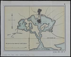
8645. Pearl Harbor
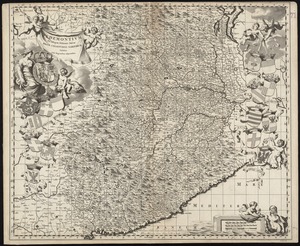
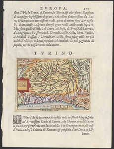
8647. Pedemontivm

8648. Peking
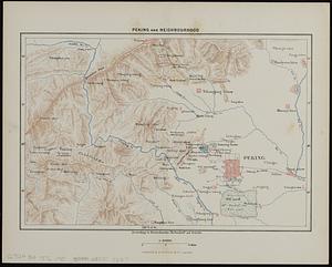
8649. Peking and neighbourhood
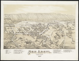
8651. Pen Argyl : Pennsylvania

8652. Penacook, N.H


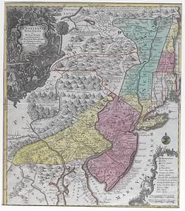
8655. Pennsylvania

8656. Pennsylvania
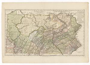
8657. Pennsylvania