Toggle navigation
LMEC Home
Exhibitions
Georeferencing
Tools for Teachers
Collections
My Favorites
Sign Up / Log In
Search
Search the map portal
Map Collection
Map Collection
Map Sets
Search
Search
Search for
Search In
All Fields
Creator
Title
Subject
Place
Search All Digital Collections
Advanced Search
2893 Results
My Search
Start Over
atlas
Remove constraint atlas
Date facet yearly ssim
2000
Remove constraint Date facet yearly ssim: <span class='single'>2000</span>
Filter your Search
Place
North and Central America
1,677
United States
1,013
Europe
471
Massachusetts
363
Canada
271
Asia
193
South America
193
Suffolk (county)
165
more
Place
»
Topic
Landowners--Massachusetts--Boston--Maps
115
Real property--Massachusetts--Boston--Maps
106
United States--Maps
87
Boston (Mass.)--Maps
64
United States--History--French and Indian War, 1754-1763--Maps
63
Saint Lawrence River--Maps
41
Nautical charts--Early works to 1800
39
North America--Maps--Early works to 1800
36
more
Topic
»
Date
Date range begin
–
Date range end
Current results range from
1482
to
2023
View distribution
Creator
United States. Hydrographic Office
584
Des Barres, Joseph F. W. (Joseph Frederick Wallet), 1722-1824
118
Ptolemy, 2nd cent
100
Bromley, George Washington
99
Bromley, Walter Scott
97
G.W. Bromley & Co.
75
Carey, Mathew, 1760-1839
74
Paullin, Charles Oscar, 1868 or 1869-1944
70
more
Creator
»
Format
Maps/Atlases
2,877
Manuscripts
58
Books
37
Prints
8
Documents
5
Drawings/Illustrations
1
Georeferenced
Yes
142
No
2,751
Collection
Norman B. Leventhal Map & Education Center Collection
2,436
Maritime Charts and Atlases
1,169
American Revolutionary War-Era Maps
504
Boston and New England Maps
390
Urban Maps
275
Massachusetts Real Estate Atlases
144
William L. Clements Library Collection
92
Mapping Boston Collection
61
more
Collection
»
Available to use
No known restrictions
2,342
Creative Commons license
158
Search Constraints
Sort by relevance
relevance
title
date (asc)
date (desc)
Number of results to display per page
20 per page
10
per page
20
per page
50
per page
100
per page
View results as:
grid view
map view
Search Results
841.
Lincolnia comitatus : Anglis Lincoln-Shire
842.
Maryland
843.
Nord-u. Mittel-Amerika
844.
The states of Maryland and Delaware, from the latest surveys
845.
Südamerika
846.
Vermont
847.
The west part of Barbary containing Fez, Marocco, Algiers and Tunis / : The east part of Barbary containing Tripoli, Barca and...
848.
Winchendon
849.
Pascaert vande Caribes Eylanden
850.
Pascaerte vande Vlaemsche, Soute, en Caribesche Eylanden, als mede Terra Nova, en de custen van Nova Francia, Nova Anglia, Nieu...
851.
New York and Perthamboy Harbours
852.
Ports de la Nouvelle York et Pertamboy : aux anglois
853.
Americae tam septentrionalis quam meridionalis in mappa geographica delineatio
854.
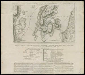
The Attack and defeat of the American fleet under Benedict Arnold, by the Kings fleet commanded by Captn. Thos. Pringle, upon...
855.
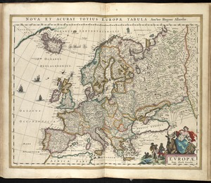
Europae
856.
Paskaert van Brasilia van Pernambuco tot C. de S. Antonio
857.
Royaume de Danemarck : qui comprend le Nort-Jutland divisé en ses quatre dioceses, le Sud-Jutland divisé en ses deux duchés...
858.
Africa
859.
Anglesey : Wight Vectis olim ; Garnesay ; Iarsay
860.
Barnstable County, Dukes County and Nantucket Island, Massachusetts
‹ Prev
Next ›
1
2
…
39
40
41
42
43
44
45
46
47
…
144
145