Toggle navigation
LMEC Home
Exhibitions
Georeferencing
Tools for Teachers
Collections
My Favorites
Sign Up / Log In
Search
Search the map portal
Map Collection
Map Collection
Map Sets
Search
Search
Search for
Search In
All Fields
Creator
Title
Subject
Place
Search All Digital Collections
Advanced Search
13385 Results
Filter your Search
Place
North and Central America
9,353
United States
7,286
Suffolk (county)
1,664
Boston
1,621
Europe
1,035
Canada
949
Massachusetts
875
New York
534
more
Place
»
Topic
Boston (Mass.)--Maps
741
City planning--Massachusetts--Boston--Maps
418
United States--History--Revolution, 1775-1783--Maps
329
United States--Maps
315
Urban renewal--Massachusetts--Boston--Maps
254
Real property--Massachusetts--Boston--Maps
252
Massachusetts--Maps
219
Insurance surveys
197
more
Topic
»
Date
Date range begin
–
Date range end
Current results range from
1482
to
2023
View distribution
Creator
United States. Hydrographic Office
595
Boston Redevelopment Authority
403
Des Barres, Joseph F. W. (Joseph Frederick Wallet), 1722-1824
247
Royal United Services Institute for Defence and Security Studies
160
Jefferys, Thomas, -1771
154
George, III, King of Great Britain, 1738-1820
152
George, IV, King of Great Britain, 1762-1830
151
O.H. Bailey & Co
148
more
Creator
»
Format
Maps/Atlases
13,205
Manuscripts
985
Prints
102
Books
49
Drawings/Illustrations
44
Photographs
15
Objects/Artifacts
13
Documents
7
more
Format
»
Georeferenced
Yes
979
No
12,406
Collection
Norman B. Leventhal Map Center Collection
8,891
American Revolutionary War-Era Maps
3,305
Boston and New England Maps
2,804
Urban Maps
2,397
Maritime Charts and Atlases
1,150
William L. Clements Library Collection
910
Library of Congress Collection
618
Boston Redevelopment Authority Collection
475
more
Collection
»
Available to use
No known restrictions
9,952
Creative Commons license
1,677
Search Constraints
Sort by date (asc)
relevance
title
date (asc)
date (desc)
Number of results to display per page
20 per page
10
per page
20
per page
50
per page
100
per page
View results as:
grid view
map view
Search Results
8501.
Pacific Mills, Lawrence, Mass. [insurance map]
8502.
Central Pacific Mills, Lawrence, Mass. [insurance map]
8503.
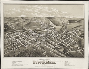
Bird's eye view of Hudson, Mass : 1878
8504.
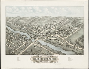
Bird's eye view of Orange, Massachusetts : 1878
8505.
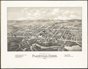
Bird's eye view of Plainville, Conn : 1878
8506.
Bird's eye view of Port Townsend, Puget Sound, Washington Territory : from the north-east, 1878
8507.
Birds eye view of the village of Wiscasset, Lincoln Co., Maine, 1878
8508.
Birds eye view of Waterville, Kennebec Co. Maine : looking northwest
8509.
Boston Harbor, Massachusetts
8510.
Boston Harbor, Massachusetts
8511.
Boston water works : map showing the several sources of supply already constructed, also the drainage areas of Lake Cochituate...
8512.
Brockton, Mass : 1878
8513.
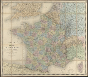
Carte orographique hydrographique et routière de la France : comprenant le bassin du rhin et la région des Alpes occidentales...
8514.
The city of Worcester, Mass : 1878
8515.
Decatur, Ill : 1878
8516.
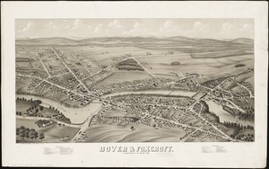
Dover & Foxcroft : Piscataquis Co. Maine, 1878
8517.
Easthampton, Mass : 1878
8518.
G. Woolworth Colton's railroad, township & distance map of New England : with adjacent portions of New York, Canada & New...
8519.
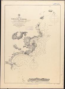
Japan, south coast of Kiusiu, Yamagawa Harbor in the Gulf of Kagosima : from a survey by Japanese naval officers in 1872
8520.
Map of Boston and the country adjacent from actual surveys
‹ Prev
Next ›
1
2
…
422
423
424
425
426
427
428
429
430
…
669
670
![Pacific Mills, Lawrence, Mass. [insurance map]](https://bpldcassets.blob.core.windows.net/derivatives/images/commonwealth:4j03db71r/image_thumbnail_300.jpg)
![Central Pacific Mills, Lawrence, Mass. [insurance map]](https://bpldcassets.blob.core.windows.net/derivatives/images/commonwealth:4j03db739/image_thumbnail_300.jpg)