Toggle navigation
LMEC Home
Exhibitions
Georeferencing
Tools for Teachers
Collections
My Favorites
Sign Up / Log In
Search
Search the map portal
Map Collection
Map Collection
Map Sets
Search
Search
Search for
Search In
All Fields
Creator
Title
Subject
Place
Search All Digital Collections
Advanced Search
13518 Results
My Search
Start Over
Date facet yearly ssim
1685
to
1689
Remove constraint Date facet yearly ssim: <span class='from'>1685</span> to <span class='to'>1689</span>
Filter your Search
Place
North and Central America
10,232
United States
8,367
Massachusetts
2,778
Suffolk (county)
1,675
Boston
1,631
Europe
1,386
Canada
949
New York
640
more
Place
»
Topic
Boston (Mass.)--Maps
746
City planning--Massachusetts--Boston--Maps
418
United States--History--Revolution, 1775-1783--Maps
329
United States--Maps
321
Real property--Massachusetts--Boston--Maps
254
Urban renewal--Massachusetts--Boston--Maps
254
Massachusetts--Maps
230
Insurance surveys
197
more
Topic
»
Date
Date range begin
–
Date range end
Current results range from
1482
to
2023
View distribution
Creator
United States. Hydrographic Office
596
Boston Redevelopment Authority
404
Des Barres, Joseph F. W. (Joseph Frederick Wallet), 1722-1824
247
Royal United Services Institute for Defence and Security Studies
160
Jefferys, Thomas, -1771
154
George, III, King of Great Britain, 1738-1820
152
George, IV, King of Great Britain, 1762-1830
151
O.H. Bailey & Co
148
more
Creator
»
Format
Maps/Atlases
13,337
Manuscripts
985
Prints
102
Books
49
Drawings/Illustrations
44
Photographs
15
Objects/Artifacts
13
Documents
7
more
Format
»
Georeferenced
Yes
979
No
12,539
Collection
Norman B. Leventhal Map & Education Center Collection
9,022
American Revolutionary War-Era Maps
3,305
Boston and New England Maps
2,900
Urban Maps
2,425
Maritime Charts and Atlases
1,167
William L. Clements Library Collection
910
Library of Congress Collection
618
Boston Redevelopment Authority Collection
475
more
Collection
»
Available to use
No known restrictions
10,085
Creative Commons license
1,677
Search Constraints
Sort by relevance
relevance
title
date (asc)
date (desc)
Number of results to display per page
20 per page
10
per page
20
per page
50
per page
100
per page
View results as:
grid view
map view
Search Results
8261.
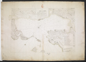
A PLAN & SURVEY of the Town and Harbour of LOUISBOURG : the harbour by Cap Darell & the Town & Batteries by Cap Bastide Engineer
8262.
Plan 1
8263.
Plan accompanying the proposal made to the City of Boston by the Commissioners on Boston Harbor and the Back Bay Octr. 20, 1854...
8264.
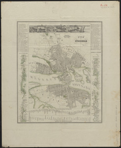
Plan af Stockholm
8265.
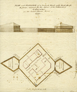
Plan and elevation of a stockade work, with block-house bastions; designed for the defence of the settlement of Coleraine, on...
8266.
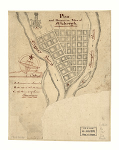
Plan and perspective view of Pittsburgh
8267.
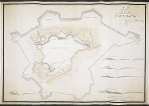
PLAN and Profil of the MINES for the Demolition of the Fortification of LOUISBOURG completed the 8.th of November 1760
8268.
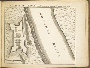
Plan and profile of retrenched work round Harkemeis house at ye German Flats 1756
8269.
Plan and profiles of surveys from Farm Pond in Framingham and Long Pond in Natick, for supplying water to the City of Boston
8270.
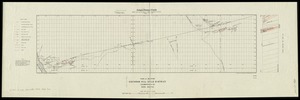
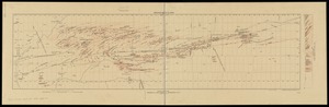
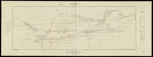
Plan and project, for fortifying the high commanding ground at the church of Deschambeaux as also the island of Richlieu [sic]
8271.
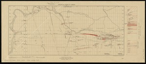
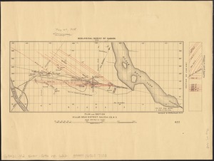
Plan and section, Cochran Hill gold district, Guysborough Co., Nova Scotia
8272.
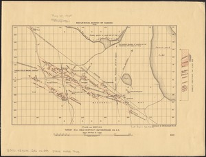
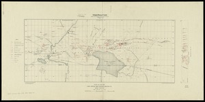
Plan and section, Fifteen-Mile Stream gold district, Halifax Co., N.S
8273.
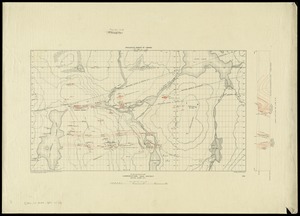
Plan and section Forest Hill gold district, Guysborough Co., N.S
8274.
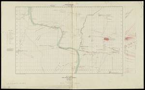
Plan and section, Gold River gold district, Lunenburg Co., Nova Scotia
8275.
Plan and section, Goldenville gold district, Guysborough Co., N.S
8276.
Plan and section, Killag gold district, Halifax Co., N.S
8277.
Plan and section, Lake Catcha district, Halifax Co., Nova Scotia
8278.
Plan and section, Lawrencetown gold district, Halifax County, N.S
8279.
Plan and section, Leipsigate gold district, Lunenburg Co., Nova Scotia
8280.
Plan and section, Montague gold district, Halifax Co., Nova Scotia
‹ Prev
Next ›
1
2
…
410
411
412
413
414
415
416
417
418
…
675
676


![Plan and project, for fortifying the high commanding ground at the church of Deschambeaux as also the island of Richlieu [sic]](https://bpldcassets.blob.core.windows.net/derivatives/metadata/commonwealth-oai:pz50mt24s/image_thumbnail_300.jpg)