Toggle navigation
LMEC Home
Exhibitions
Georeferencing
Tools for Teachers
Collections
My Favorites
Sign Up / Log In
Search
Search the map portal
Map Collection
Map Collection
Map Sets
Search
Search
Search for
Search In
All Fields
Creator
Title
Subject
Place
Search All Digital Collections
Advanced Search
13680 Results
My Search
Start Over
Date facet yearly ssim
1500
to
1549
Remove constraint Date facet yearly ssim: <span class='from'>1500</span> to <span class='to'>1549</span>
Filter your Search
Place
North and Central America
10,344
United States
8,475
Massachusetts
2,789
Suffolk (county)
1,677
Boston
1,633
Europe
1,415
Canada
950
New York
649
more
Place
»
Topic
Boston (Mass.)--Maps
747
City planning--Massachusetts--Boston--Maps
418
United States--History--Revolution, 1775-1783--Maps
329
United States--Maps
322
Real property--Massachusetts--Boston--Maps
254
Urban renewal--Massachusetts--Boston--Maps
254
Massachusetts--Maps
231
Insurance surveys
197
more
Topic
»
Date
Date range begin
–
Date range end
Current results range from
1482
to
2023
View distribution
Creator
United States. Hydrographic Office
597
Boston Redevelopment Authority
404
Des Barres, Joseph F. W. (Joseph Frederick Wallet), 1722-1824
247
Royal United Services Institute for Defence and Security Studies
160
Jefferys, Thomas, -1771
154
George, III, King of Great Britain, 1738-1820
152
George, IV, King of Great Britain, 1762-1830
151
O.H. Bailey & Co
148
more
Creator
»
Format
Maps/Atlases
13,499
Manuscripts
985
Prints
102
Books
49
Drawings/Illustrations
44
Photographs
15
Objects/Artifacts
13
Documents
7
more
Format
»
Georeferenced
Yes
979
No
12,701
Collection
Norman B. Leventhal Map & Education Center Collection
9,096
American Revolutionary War-Era Maps
3,305
Boston and New England Maps
2,915
Urban Maps
2,471
Maritime Charts and Atlases
1,169
William L. Clements Library Collection
910
Library of Congress Collection
618
Boston Redevelopment Authority Collection
475
more
Collection
»
Available to use
No known restrictions
10,246
Creative Commons license
1,678
Search Constraints
Sort by relevance
relevance
title
date (asc)
date (desc)
Number of results to display per page
20 per page
10
per page
20
per page
50
per page
100
per page
View results as:
grid view
map view
Search Results
8241.
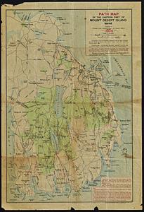
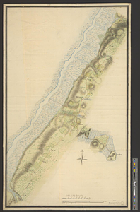
Path map of the eastern part of Mount Desert Island, Maine
8242.
Path map of the Eastern part of Mount Desert Island Maine
8243.
Path map of the eastern part of Mount Desert Island, Maine
8244.
Path map of the eastern part of Mount Desert Island, Maine
8245.
Path map of the eastern part of Mount Desert Island, Maine
8246.
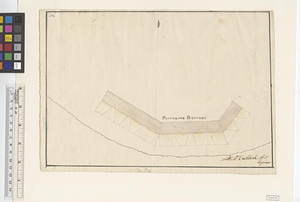
Patterson Battery
8247.
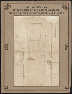
Paul Revere's plan of the scene of the Boston Massacre : used at the trial of Capt. Preston and soldiers
8248.
Paul Sample's America, its soil
8249.
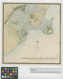
Paulus Hook
8250.
Paulus Hook and Bergen : surveyed and draughted from the 22d. to 29th June 1781
8251.
Pawtuxet, Rhode Island : 1890
8252.
La Paz : South America 1:1,000,000
8253.
Peace map of the world united : a pictorial history of transportation and communications from Jonah to the jet plane as paths...
8254.
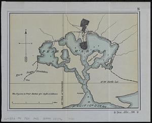
Pearl Harbor
8255.
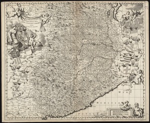
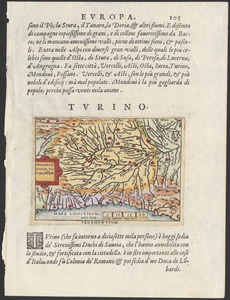
Pedemontium et reliquae ditiones Italiae regiae celsitudini Sabaudicae subditae : cum regionibus adjacentibus
8256.
Pedemontivm
8257.
Peking
8258.
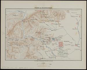
Peking and neighbourhood
8259.
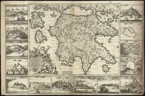
Peloponnesus hodie Moreae Regnum : distincté divisum in omnes suas provincias, hodiernas atque veteres, cui et adiuguntur...
8260.
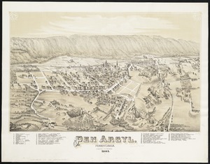
Pen Argyl : Pennsylvania
‹ Prev
Next ›
1
2
…
409
410
411
412
413
414
415
416
417
…
683
684