Toggle navigation
LMEC Home
Exhibitions
Georeferencing
Tools for Teachers
Collections
My Favorites
Sign Up / Log In
Search
Search the map portal
Map Collection
Map Collection
Map Sets
Search
Search
Search for
Search In
All Fields
Creator
Title
Subject
Place
Search All Digital Collections
Advanced Search
13385 Results
Filter your Search
Place
North and Central America
9,353
United States
7,286
Suffolk (county)
1,664
Boston
1,621
Europe
1,035
Canada
949
Massachusetts
875
New York
534
more
Place
»
Topic
Boston (Mass.)--Maps
741
City planning--Massachusetts--Boston--Maps
418
United States--History--Revolution, 1775-1783--Maps
329
United States--Maps
315
Urban renewal--Massachusetts--Boston--Maps
254
Real property--Massachusetts--Boston--Maps
252
Massachusetts--Maps
219
Insurance surveys
197
more
Topic
»
Date
Date range begin
–
Date range end
Current results range from
1482
to
2023
View distribution
Creator
United States. Hydrographic Office
595
Boston Redevelopment Authority
403
Des Barres, Joseph F. W. (Joseph Frederick Wallet), 1722-1824
247
Royal United Services Institute for Defence and Security Studies
160
Jefferys, Thomas, -1771
154
George, III, King of Great Britain, 1738-1820
152
George, IV, King of Great Britain, 1762-1830
151
O.H. Bailey & Co
148
more
Creator
»
Format
Maps/Atlases
13,205
Manuscripts
985
Prints
102
Books
49
Drawings/Illustrations
44
Photographs
15
Objects/Artifacts
13
Documents
7
more
Format
»
Georeferenced
Yes
979
No
12,406
Collection
Norman B. Leventhal Map Center Collection
8,891
American Revolutionary War-Era Maps
3,305
Boston and New England Maps
2,804
Urban Maps
2,397
Maritime Charts and Atlases
1,150
William L. Clements Library Collection
910
Library of Congress Collection
618
Boston Redevelopment Authority Collection
475
more
Collection
»
Available to use
No known restrictions
9,952
Creative Commons license
1,677
Search Constraints
Sort by date (asc)
relevance
title
date (asc)
date (desc)
Number of results to display per page
20 per page
10
per page
20
per page
50
per page
100
per page
View results as:
grid view
map view
Search Results
8221.
Canary Islands, Tenerife, Santa Cruz
8222.
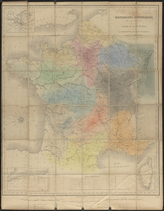
Carte des monuments historiques de la France, dressée d'après la liste établie par la Commission des monuments historiques
8223.
Carte du Bassin du Mackenzie, dressée de 1862 à 1873
8224.
Centennial map of Concord, 1775-1875
8225.
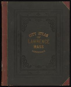
City atlas of Lawrence, Massachusetts : from official records, private plans and actual surveys, based upon plans deposited in...
8226.
City atlas of Lawrence, Massachusetts
8227.
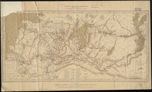
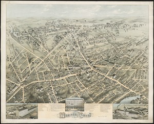
City of Meriden, Conn
8228.
City of Taunton, Mass : 1875
8229.
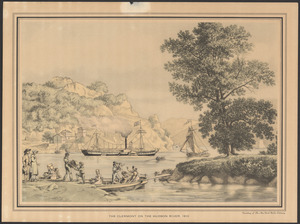
The Clermont on the Hudson River, 1810
8230.
County atlas of Middlesex, Massachusetts : from actual surveys
8231.
East-coast of Newfoundland, harbors & anchorages of Fogo Island : republication of Brit. Admty. chart no. 291
8232.
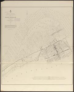
Erie Harbor
8233.
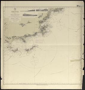
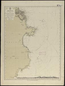
France, Mediterranean coast : from the Pilote Français 1845 ; republication of Brit. Admty. chart no. 2609, with additions and...
8234.
France, Mediterranean coast : from the Pilote Français 1842 ; republication of Brit. Admty. chart no. 2608, with additions &...
8235.
France, Mediterranean coast : from the Pilote Français 1843 ; republication of Brit. Admty. chart no. 2606, with additions and...
8236.
France, Mediterranean coast : from the Pilote Français 1842 ; republication of Brit. Admty. chart no. 2604, with additions &...
8237.
France, Mediterranean coast : from the Pilote Français 1842 ; republication of Brit. Admty. chart no. 2603, with additions and...
8238.
Gen. Washington's Revolutionary campaign war map : after a survey ordered by him showing the position of his army in defence of...
8239.
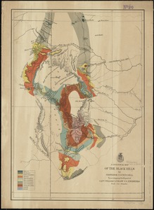
A geological map of the Black Hills
8240.
Glens Falls, N.Y : 1875
‹ Prev
Next ›
1
2
…
408
409
410
411
412
413
414
415
416
…
669
670