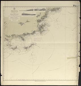
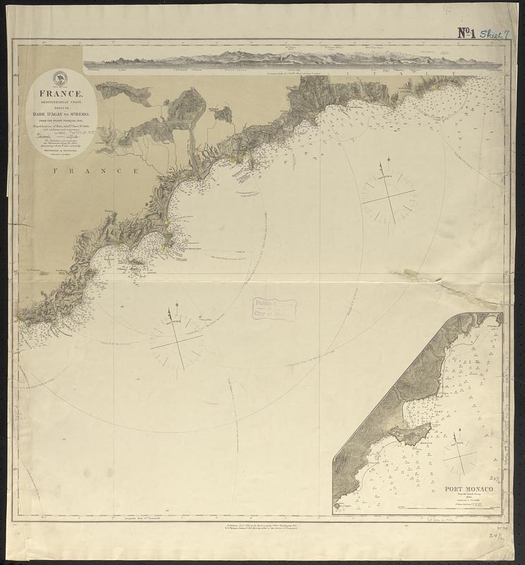
France, Mediterranean coast : from the Pilote Français 1845 ; republication of Brit. Admty. chart no. 2609, with additions and corrections to 1875
Item Information
- Title:
- France, Mediterranean coast : from the Pilote Français 1845 ; republication of Brit. Admty. chart no. 2609, with additions and corrections to 1875
- Title (alt.):
-
Rade d'Agay to St. Remo
- Issuing body:
- United States. Hydrographic Office
- Date:
-
1875
- Format:
-
Maps/Atlases
- Genre:
-
Nautical charts
- Location:
-
Boston Public Library
Norman B. Leventhal Map & Education Center - Collection (local):
-
Norman B. Leventhal Map & Education Center Collection
- Subjects:
-
Mediterranean Coast (France)--Maps
Coasts--France--Maps
Nautical charts--France--Mediterranean Coast
- Places:
-
France
- Extent:
- 1 map ; 60 x 63 cm
- Terms of Use:
-
No known copyright restrictions.
No known restrictions on use.
- Publisher:
-
Washington, D.C. :
Hydrographic Office
- Scale:
-
Scale approximately 1:150,000
- Language:
-
English
- Notes:
-
Relief shown by hachures and spot heights. Depths shown by soundings.
Also shows range of visibility of lighthouses.
Includes coastal view.
Inset: Port Monaco from the French survey, 1845.
- Identifier:
-
06_01_017668
- Call #:
-
G9096.P5 svar .U55 no. 712
- Barcode:
-
39999085961272