Toggle navigation
LMEC Home
Exhibitions
Georeferencing
Tools for Teachers
Collections
My Favorites
Sign Up / Log In
Search
Search the map portal
Map Collection
Map Collection
Map Sets
Search
Search
Search for
Search In
All Fields
Creator
Title
Subject
Place
Search All Digital Collections
Advanced Search
816 Results
My Search
Start Over
human
Remove constraint human
Filter your Search
Place
Europe
311
North and Central America
255
South America
110
Asia
80
United States
78
Germany
57
North America
55
Canada
52
more
Place
»
Topic
West Indies--Maps--Early works to 1800
36
Nautical charts--Early works to 1800
33
South America--Maps--Early works to 1800
29
North America--Maps--Early works to 1800
27
Canada--Maps--Early works to 1800
16
Caribbean Area--Maps--Early works to 1800
15
Germany--Maps--Early works to 1800
15
Africa--Maps--Early works to 1800
12
more
Topic
»
Date
Date range begin
–
Date range end
Current results range from
1482
to
2022
View distribution
Creator
Ptolemy, 2nd cent
100
Jansson, Jan, 1588-1664
66
Wit, Frederik de.
59
Blaeu, Willem Janszoon, 1571-1638
48
Blaeu, Joan, 1596-1673
33
Dudley, Robert, Sir, 1574-1649
33
Lucini, Antonio Francesco, b. 1605
33
Hol, Lienhart
32
more
Creator
»
Format
Maps/Atlases
812
Manuscripts
6
Prints
4
Posters
1
Georeferenced
Yes
39
No
777
Collection
Norman B. Leventhal Map & Education Center Collection
803
American Revolutionary War-Era Maps
118
Maritime Charts and Atlases
80
Urban Maps
15
Boston and New England Maps
13
Richard H. Brown Revolutionary War Map Collection at Mount Vernon
9
Boston Redevelopment Authority Collection
3
Applied Geographics, Inc. Records
2
more
Collection
»
Available to use
No known restrictions
804
Creative Commons license
10
Search Constraints
Sort by relevance
relevance
title
date (asc)
date (desc)
Number of results to display per page
20 per page
10
per page
20
per page
50
per page
100
per page
View results as:
grid view
map view
Search Results
781.
Tabula IX Asiae
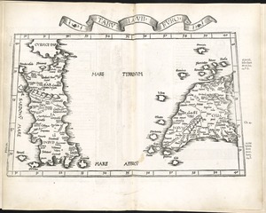
782.
Tabula IX Europae
783.
Tabula V Europae
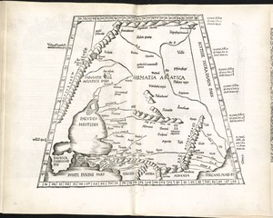
784.
Tabula VII Asiae
785.
Tabula VII Europae
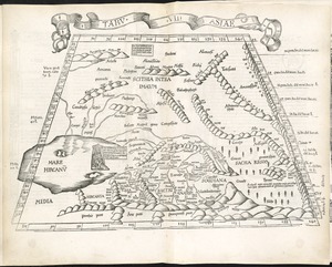
786.
Tabula VIII Asiae
787.
Tabula VIII Europae
788.
Undecima Asiae tabula
789.
Virginia, Maryland, Pennsilvania, east & west New Jarsey
790.
Wigorniensis comitatus cum Warwicensi, nec non Conventriae Libertas
791.
Carte du Golphe du Mexique et des isles Antilles : reduite de la grande carte angloise de Popple
792.
A general map of the northern British Colonies in America : which comprehends the province of Quebec, the government of...
793.
A new and accurat map of the world : drawne according to ye truest descriptions latest discoveries & best observations yt have...
794.
Pascaerte van Westindien de Vaste Kusten en de Eylanden
795.
[Polus Antarcticus] : Terra Australis Incognita
796.
Tabula II Asiae
797.
Tabula IIII Europae
798.
[Alleen de Caribische Eilanden, vervat in 't groot]
799.
Galliae seu Franciae tabula, qua omnes provinciae, via angiariae, et aliae res notatu dignae distincte et accurate ostendatur
800.
Lincolnia comitatus Anglis Lyncolne Shire
‹ Prev
Next ›
1
2
…
36
37
38
39
40
41