Toggle navigation
LMEC Home
Exhibitions
Georeferencing
Tools for Teachers
Collections
My Favorites
Sign Up / Log In
Search
Search the map portal
Map Collection
Map Collection
Map Sets
Search
Search
Search for
Search In
All Fields
Creator
Title
Subject
Place
Search All Digital Collections
Advanced Search
158 Results
My Search
Start Over
1914
Remove constraint 1914
Filter your Search
Place
Europe
73
North and Central America
65
United States
44
France
23
Canada
16
Asia
13
Massachusetts
13
Belgium
11
more
Place
»
Topic
Europe--Maps
19
France--Maps
15
World War, 1914-1918--Europe--Maps
11
Belgium--Maps
10
World War, 1914-1918--Maps
10
Balkan Peninsula--Maps
8
World War, 1914-1918--Belgium--Maps
7
World War, 1914-1918--France--Maps
7
more
Topic
»
Date
Date range begin
–
Date range end
Current results range from
1831
to
2014
View distribution
Creator
Gross, Alexander, 1879-1958
27
Geological Survey of Canada
8
Dowling, D. B. (Donaldson Bogart), 1858-1925
7
Gannett, Henry, 1846-1914
7
American Geographical Society of New York
6
Geological Survey (U.S.)
6
Army Service Schools (U.S.)
5
France. Armée. Groupe de canevas de tir
5
more
Creator
»
Format
Maps/Atlases
156
Prints
2
Manuscripts
1
Georeferenced
Yes
25
No
133
Collection
Norman B. Leventhal Map & Education Center Collection
150
Boston and New England Maps
5
Urban Maps
4
American Textile History Museum Image Collection
2
Massachusetts Real Estate Atlases
2
Town plans, 1830
2
Lucius Beebe Memorial Library Historic Maps
1
MacLean Collection Map Library
1
more
Collection
»
Available to use
No known restrictions
152
Creative Commons license
1
Search Constraints
Sort by relevance
relevance
title
date (asc)
date (desc)
Number of results to display per page
20 per page
10
per page
20
per page
50
per page
100
per page
View results as:
grid view
map view
Search Results
61.
Guerre d'orient, Balkans, Asie Mineure, Perse
62.
Schaap-balie
63.
La Barrière anti-Germanique
64.
The Daily Telegraph war map no. 20
65.
St. Mihiel - B
66.
Transylvania campaigne Oct. 1916 ; Macedonian campaigne ; Somme Campaigne Oct. 1916
67.
Attawaugan Company "Attawaugan Mill" (Cotton Mill), Killingly, Conn. [insurance map]
68.
Military map of the United States of America showing location of all forces in training
69.
History 2
70.
Distribution of the magnetic declination in the United States in 1900
71.
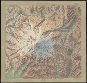
Panoramic view of the Mount Rainier National Park, Washington
72.
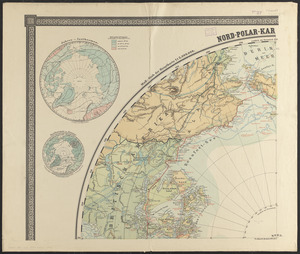
Nord-Polar-karte
73.
Map of Boston proper, showing proposed railroad tunnels and business streets
74.
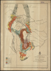
A geological map of the Black Hills
75.
Plan of wards 6, 7, 8, 9, 10 and 12, Boston : showing sewers and contours :Jan., 1878
76.
James Marshall & Bros., et al (Hat Factory), Fall River, Mass. [insurance map]
77.
Balkan Peninsula
78.
Massachusetts, Boston sheet
79.
Home rule map of Ireland
80.
Composition of the foreign-born population : 1890
‹ Prev
Next ›
1
2
3
4
5
6
7
8


![Attawaugan Company "Attawaugan Mill" (Cotton Mill), Killingly, Conn. [insurance map]](https://bpldcassets.blob.core.windows.net/derivatives/images/commonwealth:2r36vc15x/image_thumbnail_300.jpg)


![James Marshall & Bros., et al (Hat Factory), Fall River, Mass. [insurance map]](https://bpldcassets.blob.core.windows.net/derivatives/images/commonwealth:ww72bx40z/image_thumbnail_300.jpg)