Toggle navigation
LMEC Home
Exhibitions
Georeferencing
Tools for Teachers
Collections
My Favorites
Sign Up / Log In
Search
Search the map portal
Map Collection
Map Collection
Map Sets
Search
Search
Search for
Search In
All Fields
Creator
Title
Subject
Place
Search All Digital Collections
Advanced Search
152 Results
My Search
Start Over
1886
Remove constraint 1886
Filter your Search
Place
North and Central America
120
United States
96
Massachusetts
45
Middlesex (county)
19
Asia
16
Suffolk (county)
14
Boston
12
Worcester (county)
11
more
Place
»
Topic
Zoning
9
Boston (Mass.)--Maps
8
China--Historical geography--Maps
6
Brookline (Mass.)--Maps
3
Massachusetts--Maps
3
Atlantic Coast (N.S.)--Maps
2
Atlantic Coast (New England)--Maps
2
Boston (Mass.)--Aerial views
2
more
Topic
»
Date
Date range begin
–
Date range end
Current results range from
1831
to
1994
View distribution
Creator
United States. Hydrographic Office
37
Burleigh, L. R., 1853-1923
22
Herrmann, Albert, 1886-1945
11
Comey, Arthur C. (Arthur Coleman), 1886-1954
10
Franke, M. (Max)
7
Waddey, J. A. (John A.)
6
Birch, C. E. (Charles E.)
5
Ruebsam, E. A. (E. August)
5
more
Creator
»
Format
Maps/Atlases
152
Georeferenced
Yes
10
No
142
Collection
Norman B. Leventhal Map & Education Center Collection
136
Urban Maps
68
Boston and New England Maps
60
Maritime Charts and Atlases
43
Lucius Beebe Memorial Library Historic Maps
10
Massachusetts Real Estate Atlases
5
Town plans, 1830
1
Available to use
No known restrictions
136
Search Constraints
Sort by relevance
relevance
title
date (asc)
date (desc)
Number of results to display per page
20 per page
10
per page
20
per page
50
per page
100
per page
View results as:
grid view
map view
Search Results
61.
Physical geography with the boundaries of ancient China
62.
Map of Boston Harbor : showing commissioners' lines, wharves &c
63.
Skeleton map of rail-roads between Cape Canso and St. Louis
64.
Map of Boston
65.
West Indies, sheet no. Jamaica with Pedro and Rosalind Banks and with parts of Cuba and San Domingo : from British, Spanish and...
66.
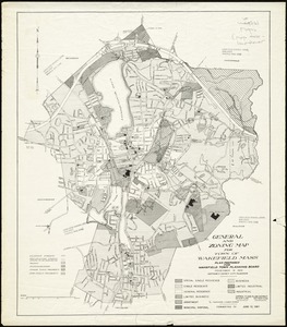
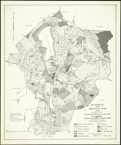
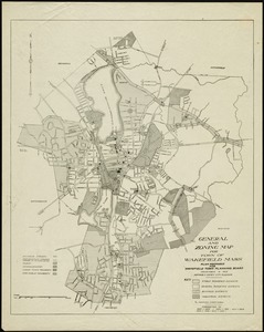
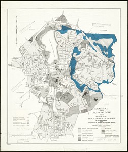
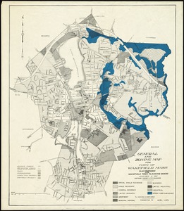
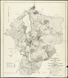
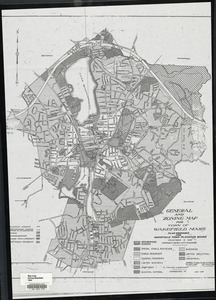
General and zoning map for town of Wakefield Mass.
67.
General and zoning map for town of Wakefield Mass.
68.
General and zoning map for town of Wakefield, Mass.
69.
General and zoning map for town of Wakefield Mass.
70.
General and zoning map for town of Wakefield Mass.
71.
General and zoning map for town of Wakefield Mass.
72.
General and zoning map for town of Wakefield Mass.
73.
Physiographic diagram of Europe
74.
South Pacific Ocean
75.
A plan of Boston, from actual survey
76.
City of Boston zoning map
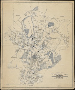
77.
Town of Wakefield, Mass.
78.
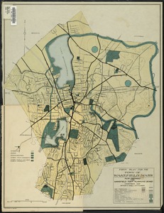
Town plan for the town of Wakefield, Mass.
79.
Block Island, Rhode Island
80.
South Pacific Ocean, Paumotu Group - Rairoa (Rangiroa) Island, Avatoru Pass and anchorage
‹ Prev
Next ›
1
2
3
4
5
6
7
8