Toggle navigation
LMEC Home
Exhibitions
Georeferencing
Tools for Teachers
Collections
My Favorites
Sign Up / Log In
Search
Search the map portal
Map Collection
Map Collection
Map Sets
Search
Search
Search for
Search In
All Fields
Creator
Title
Subject
Place
Search All Digital Collections
Advanced Search
187 Results
My Search
Start Over
1884
Remove constraint 1884
Filter your Search
Place
North and Central America
159
United States
143
Massachusetts
57
Suffolk (county)
35
Boston
34
Canada
13
Europe
11
New Hampshire
11
more
Place
»
Topic
Boston (Mass.)--Maps
26
Fortification--Massachusetts--Boston--Maps
14
Landowners--Massachusetts--Boston--Maps
5
Real property--Massachusetts--Boston--Maps
5
Roxbury (Boston, Mass.)--Maps
5
Massachusetts--Maps
4
United States--Maps
4
Cambridge (Mass.)--Maps
3
more
Topic
»
Date
Date range begin
–
Date range end
Current results range from
1694
to
1932
View distribution
Creator
Boynton, George W., d. 1884
24
United States. Hydrographic Office
15
O.H. Bailey & Co
14
Geo. H. Walker & Co.
10
Boynton, George W., -1884
9
Johnson, A. J. (Alvin Jewett), 1827-1884
9
Campbell-Copeland, T. (Thomas)
7
Harper & Brothers
7
more
Creator
»
Format
Maps/Atlases
186
Books
3
Manuscripts
2
Prints
1
Georeferenced
Yes
21
No
166
Collection
Norman B. Leventhal Map & Education Center Collection
175
Urban Maps
93
Boston and New England Maps
75
Maritime Charts and Atlases
20
Massachusetts Real Estate Atlases
6
Robert E. Diefenbach Map Collection at Phillips Academy
4
Mapping Boston Collection
1
Ralph Finos Map Collection at Phillips Academy
1
more
Collection
»
Available to use
No known restrictions
179
Creative Commons license
1
Search Constraints
Sort by relevance
relevance
title
date (asc)
date (desc)
Number of results to display per page
20 per page
10
per page
20
per page
50
per page
100
per page
View results as:
grid view
map view
Search Results
61.
New map of Boston, comprising the whole city, with the new boundaries of the wards
62.
New map of Boston, comprising the whole city, with the new boundaries of the wards
63.
New map of Boston, comprising the whole city, with the new boundaries of the wards
64.
New map of Boston, comprising the whole city, with the new boundaries of the wards
65.
New map of Boston, comprising the whole city, with the new boundaries of the wards
66.
New map of Boston, comprising the whole city, with the new boundaries of the wards
67.
New map of Boston, comprising the whole city, with the new boundaries of the wards
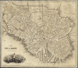
68.
Plan of the city of Boston
69.
Plan of the city of Boston
70.
Plan of the city of Boston
71.
Plan of the city of Boston
72.
Plan of the city of Boston
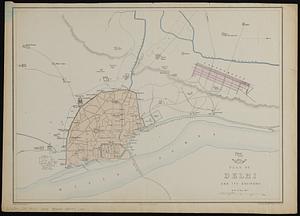
73.
Plan of Delhi and its environs
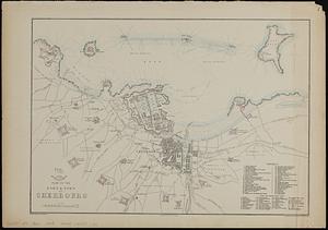
74.
Plan of the port & town of Cherbourg
75.
Boston and vicinity
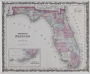
76.
Johnson's Florida
77.
Johnson's Massachusetts Connecticut and Rhode Island
78.
Johnson's new rail road & county copper plate map of the Southern States from the latest and best information
79.
Johnson's North America
80.
Johnson's Virginia, Delaware, Maryland & West Virginia
‹ Prev
Next ›
1
2
3
4
5
6
7
8
9
10