Toggle navigation
LMEC Home
Exhibitions
Georeferencing
Tools for Teachers
Collections
My Favorites
Sign Up / Log In
Search
Search the map portal
Map Collection
Map Collection
Map Sets
Search
Search
Search for
Search In
All Fields
Creator
Title
Subject
Place
Search All Digital Collections
Advanced Search
163 Results
My Search
Start Over
1860
Remove constraint 1860
Filter your Search
Place
North and Central America
113
United States
94
Europe
32
Massachusetts
27
Canada
14
Boston
13
Suffolk (county)
13
Asia
8
more
Place
»
Topic
Boston (Mass.)--Maps
12
New England--Maps
6
United States--Maps
6
Canada--Boundaries--United States--Maps
5
United States--Boundaries--Canada--Maps
5
Southern States--Maps
4
Switzerland--Maps
4
United States--History--Civil War, 1861-1865--Maps
4
more
Topic
»
Date
Date range begin
–
Date range end
Current results range from
1702
to
1932
View distribution
Creator
Bartholomew, J. G. (John George), 1860-1920
10
Moore, John Bassett, 1860-1947
8
United States. Congress (53rd, 2nd session : 1893-1894). House
8
E.P. Dutton (Firm)
6
United States. Hydrographic Office
6
Boston (Mass.). Engineering Dept
4
J.M. Dent & Sons
4
United States Coast Survey
4
more
Creator
»
Format
Maps/Atlases
160
Manuscripts
6
Prints
2
Drawings/Illustrations
1
Posters
1
Georeferenced
Yes
24
No
139
Collection
Norman B. Leventhal Map & Education Center Collection
158
Boston and New England Maps
32
Urban Maps
28
Maritime Charts and Atlases
15
American Revolutionary War-Era Maps
2
Mapping Boston Collection
2
American Antiquarian Society Collection
1
Lucius Beebe Memorial Library Historic Maps
1
more
Collection
»
Available to use
No known restrictions
155
Creative Commons license
4
Search Constraints
Sort by relevance
relevance
title
date (asc)
date (desc)
Number of results to display per page
20 per page
10
per page
20
per page
50
per page
100
per page
View results as:
grid view
map view
Search Results
61.
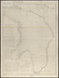
General chart of Lake Huron
62.
Post route map of the states of New Hampshire, Vermont, Massachusetts, Rhode Island, Connecticut, and parts of New York and Maine
63.
Road map of the island of Rhode Island, or Aquidneck
64.
Vineyard Sound and Buzzards Bay, Massachusetts
65.
Carta universal en que se contiene todo lo que del mundo se ha descubierto fasta agora
66.
La Pensilvania, la Nuova York, il Jersey Settentrio[na]le : con la parte occidentale del Connecticut, Massachusset-s-bay e...
67.
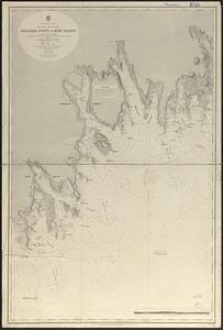
North America--east coast, Nova Scotia--south east coast, Baccaro Point to Ram Island
68.
Plan of Boston
69.
G. Woolworth Colton's railroad, township & distance map of New England : with adjacent portions of New York, Canada & New...
70.
New York city map
71.
The United States southern part : from the latest surveys
72.
North end of Lake Michigan including Green Bay and the straits of Mackinac
73.
G. Woolworth Colton's railroad, township & distance map of New England with adjacent portions of New York, Canada & New Brunswick
74.
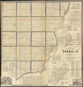
Map of Peoria Co., Illinois
75.
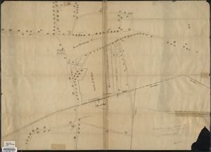
Plan or map showing the laying out of Rail Road Street
76.
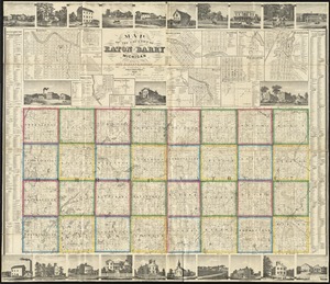
Map of the counties of Eaton and Barry, Michigan
77.
Historical sketch of the rebellion
78.
Post route map of the states of New Hampshire, Vermont, Massachusetts, Rhode Island, Connecticut, and parts of New York and Maine
79.
Le Canada, ou Nouvelle France, la Floride, la Virginie, Pensilvanie, Caroline, Nouvelle Angleterre et Nouvelle Yorck, l'Isle de...
80.
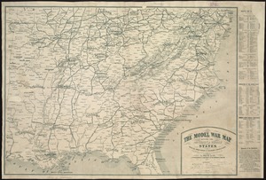
The model war map giving the southern & middle states, with all their water & railroad connections
‹ Prev
Next ›
1
2
3
4
5
6
7
8
9


![La Pensilvania, la Nuova York, il Jersey Settentrio[na]le](https://bpldcassets.blob.core.windows.net/derivatives/images/commonwealth:z603vq53g/image_thumbnail_300.jpg)