Toggle navigation
LMEC Home
Exhibitions
Georeferencing
Tools for Teachers
Collections
My Favorites
Sign Up / Log In
Search
Search the map portal
Map Collection
Map Collection
Map Sets
Search
Search
Search for
Search In
All Fields
Creator
Title
Subject
Place
Search All Digital Collections
Advanced Search
13385 Results
Filter your Search
Place
North and Central America
10,111
United States
8,249
Massachusetts
2,691
Suffolk (county)
1,664
Boston
1,621
Europe
1,386
Canada
949
New York
640
more
Place
»
Topic
Boston (Mass.)--Maps
741
City planning--Massachusetts--Boston--Maps
418
United States--History--Revolution, 1775-1783--Maps
329
United States--Maps
315
Urban renewal--Massachusetts--Boston--Maps
254
Real property--Massachusetts--Boston--Maps
252
Massachusetts--Maps
219
Insurance surveys
197
more
Topic
»
Date
Date range begin
–
Date range end
Current results range from
1482
to
2023
View distribution
Creator
United States. Hydrographic Office
595
Boston Redevelopment Authority
403
Des Barres, Joseph F. W. (Joseph Frederick Wallet), 1722-1824
247
Royal United Services Institute for Defence and Security Studies
160
Jefferys, Thomas, -1771
154
George, III, King of Great Britain, 1738-1820
152
George, IV, King of Great Britain, 1762-1830
151
O.H. Bailey & Co
148
more
Creator
»
Format
Maps/Atlases
13,205
Manuscripts
985
Prints
102
Books
49
Drawings/Illustrations
44
Photographs
15
Objects/Artifacts
13
Documents
7
more
Format
»
Georeferenced
Yes
979
No
12,406
Collection
Norman B. Leventhal Map & Education Center Collection
8,891
American Revolutionary War-Era Maps
3,305
Boston and New England Maps
2,804
Urban Maps
2,397
Maritime Charts and Atlases
1,150
William L. Clements Library Collection
910
Library of Congress Collection
618
Boston Redevelopment Authority Collection
475
more
Collection
»
Available to use
No known restrictions
9,952
Creative Commons license
1,677
Search Constraints
Sort by relevance
relevance
title
date (asc)
date (desc)
Number of results to display per page
20 per page
10
per page
20
per page
50
per page
100
per page
View results as:
grid view
map view
Search Results
7161.
A new plan of ye great town of Boston in New England in America, with the many additionall buildings & new streets to the year...
7162.
A new plan of ye great town of Boston in New England in America, with the many additionall [sic] buildings, & new streets, to...
7163.
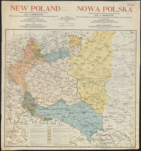
New Poland = Nowa Polska
7164.
New Port
7165.
New post office, township, county and railroad map of New England : with distances
7166.
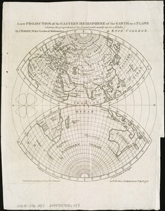
A new projection of the Eastern Hemisphere of the earth on a plane : shewing the proportions of its several parts nearly as on...
7167.
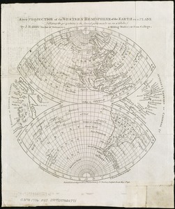
A new projection of the Western Hemisphere of the Earth on a plane : shewing the proportions of its several parts nearly as on...
7168.
New public library building, Boston, Mass. : 1/4 inch scale drawing for foundations of columns at Dartmouth Street entrance
7169.
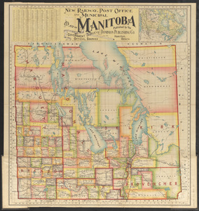
New railway, post office and municipal map of Manitoba : compiled from the latest government surveys and other official sources
7170.
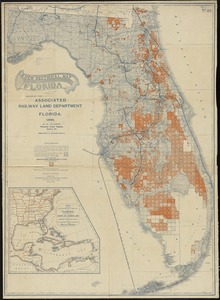
A new sectional map of Florida
7171.
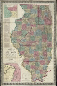
New sectional map of the state of Illinois : compiled from the United States surveys, also exhibiting the internal...
7172.
A new suruey of the harbour of Boston in New England
7173.
A new survey of the harbour of Boston in New England : done by order of the principall officers and comissioners of Her Maties....
7174.
New topographical atlas of surveys Bristol County, Massachusetts
7175.
New topographical atlas of surveys Plymouth County, together with town of Cohasset, Norfolk County, Massachusetts
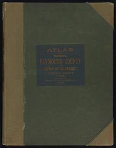
7176.
New topographical atlas of surveys Plymouth County, together with town of Cohasset, Norfolk County, Massachusetts ... based...
7177.
New topographical atlas of the county of Hampden, Massachusetts
7178.
New topographical atlas of the county of Hampden, Massachusetts : containing thirty-three double page maps, in colors, of the...
7179.
New topographical atlas of the county of Worcester, Massachusetts : containing fifty-five double page maps, in colors, of the...
7180.
The new war map of Maryland, part of Virginia & Pennsylvania
‹ Prev
Next ›
1
2
…
355
356
357
358
359
360
361
362
363
…
669
670

![A new plan of ye great town of Boston in New England in America, with the many additionall [sic] buildings, & new streets, to the year, 1769](https://bpldcassets.blob.core.windows.net/derivatives/images/commonwealth:3f462v50z/image_thumbnail_300.jpg)