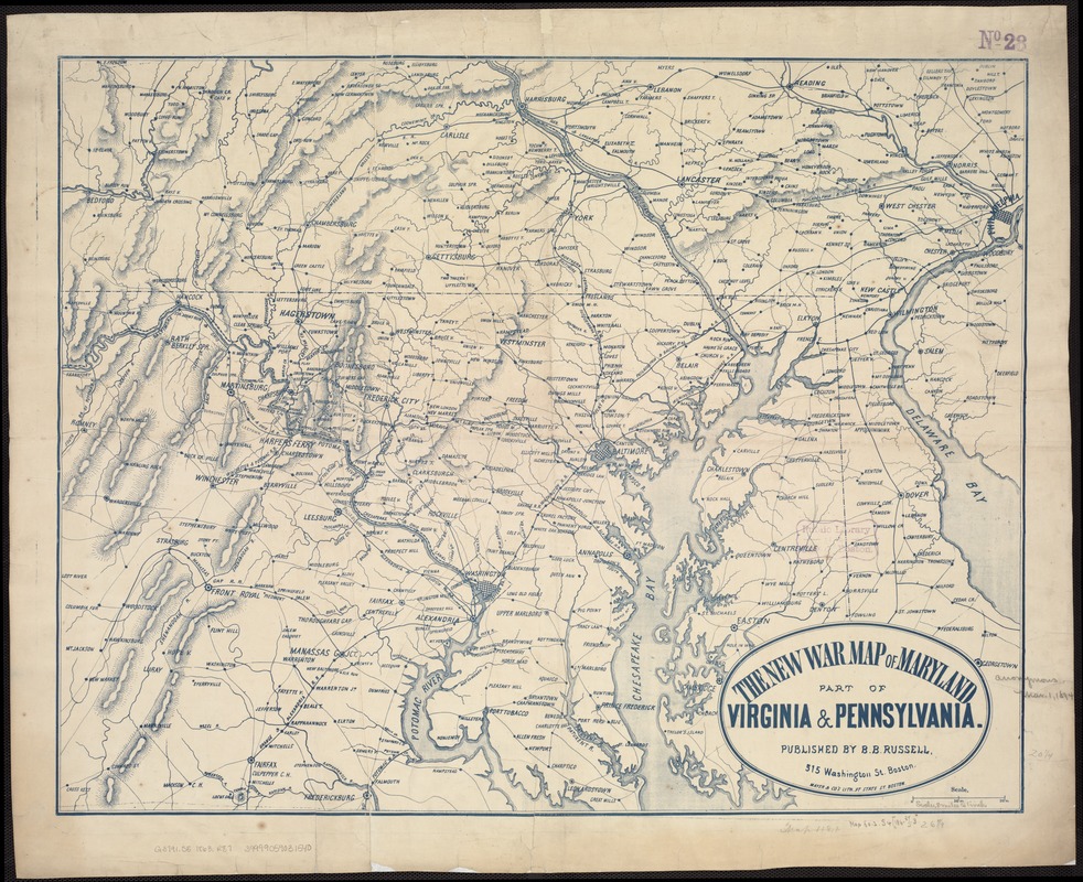
The new war map of Maryland, part of Virginia & Pennsylvania
Item Information
- Title:
- The new war map of Maryland, part of Virginia & Pennsylvania
- Creator:
- Russell, B. B. (Benjamin B.)
- Date:
-
[1863]
- Format:
-
Maps/Atlases
- Location:
-
Boston Public Library
Norman B. Leventhal Map & Education Center - Collection (local):
-
Norman B. Leventhal Map & Education Center Collection
- Subjects:
-
Middle Atlantic States--History--19th century--Maps
- Places:
-
Middle Atlantic (area)
- Extent:
- 1 map ; 53 x 67 cm.
- Terms of Use:
-
No known copyright restrictions.
No known restrictions on use.
- Publisher:
-
Boston :
B.B. Russell
- Scale:
-
Scale ca. 1:520,000.
- Language:
-
English
- Notes:
-
General map printed in blue ink.
- Notes (date):
-
This date is inferred.
- Identifier:
-
06_01_007452
- Call #:
-
G3791.S5 1863 .R87
- Barcode:
-
39999059031540


