Toggle navigation
LMEC Home
Exhibitions
Georeferencing
Tools for Teachers
Collections
My Favorites
Sign Up / Log In
Search
Search the map portal
Map Collection
Map Collection
Map Sets
Search
Search
Search for
Search In
All Fields
Creator
Title
Subject
Place
Search All Digital Collections
Advanced Search
13518 Results
Filter your Search
Place
North and Central America
10,232
United States
8,367
Massachusetts
2,778
Suffolk (county)
1,675
Boston
1,631
Europe
1,386
Canada
949
New York
640
more
Place
»
Topic
Boston (Mass.)--Maps
746
City planning--Massachusetts--Boston--Maps
418
United States--History--Revolution, 1775-1783--Maps
329
United States--Maps
321
Real property--Massachusetts--Boston--Maps
254
Urban renewal--Massachusetts--Boston--Maps
254
Massachusetts--Maps
230
Insurance surveys
197
more
Topic
»
Date
Date range begin
–
Date range end
Current results range from
1482
to
2023
View distribution
Creator
United States. Hydrographic Office
596
Boston Redevelopment Authority
404
Des Barres, Joseph F. W. (Joseph Frederick Wallet), 1722-1824
247
Royal United Services Institute for Defence and Security Studies
160
Jefferys, Thomas, -1771
154
George, III, King of Great Britain, 1738-1820
152
George, IV, King of Great Britain, 1762-1830
151
O.H. Bailey & Co
148
more
Creator
»
Format
Maps/Atlases
13,337
Manuscripts
985
Prints
102
Books
49
Drawings/Illustrations
44
Photographs
15
Objects/Artifacts
13
Documents
7
more
Format
»
Georeferenced
Yes
979
No
12,539
Collection
Norman B. Leventhal Map & Education Center Collection
9,022
American Revolutionary War-Era Maps
3,305
Boston and New England Maps
2,900
Urban Maps
2,425
Maritime Charts and Atlases
1,167
William L. Clements Library Collection
910
Library of Congress Collection
618
Boston Redevelopment Authority Collection
475
more
Collection
»
Available to use
No known restrictions
10,085
Creative Commons license
1,677
Search Constraints
Sort by relevance
relevance
title
date (asc)
date (desc)
Number of results to display per page
20 per page
10
per page
20
per page
50
per page
100
per page
View results as:
grid view
map view
Search Results
7121.
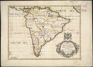
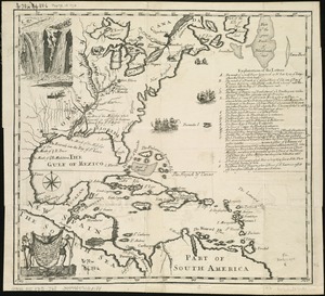
A new map of South America : shewing it's general divisions, chief cities & towns, rivers, mountains &c
7122.
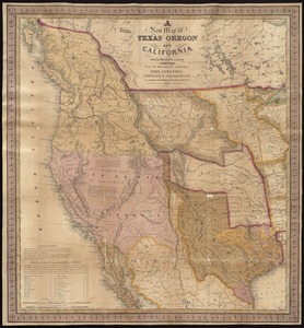
A new map of Texas, Oregon, and California with the regions adjoining
7123.
New map of the American overland route showing its connections, and land grants of 30,000,000 acres
7124.
A new map of the Baltick &c : shewing all the dominions about it with ye great or post roads and principal cross-roads
7125.
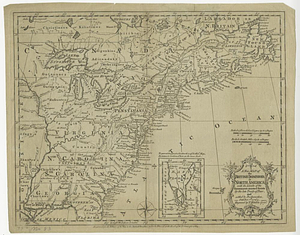
A new map of the British colonies in North America, shewing the seat of the present war, taken from the best surveys, compared...
7126.
A new map of the British colonies in North America, shewing the seat of the present war, taken from the best surveys, compared...
7127.
A new map of the British dominions in North America with the limits of the governments annexed thereto by the late treaty of...
7128.
A new map of the British empire in Nth. America
7129.
A new map of the British empire in Nth. America, drawn from the latest authorities
7130.
A new map of the Brittish Isles shewing their antient people, cities, and towns of note, in the time of the Romans : dedicated...
7131.
A new map of the Brittish Isles shewing their present genl. divisions, cities, and such other towns, or places, as answer to...
7132.
New map of the central portion of Boston
7133.
A New map of the Cherokee nation : with the names of the towns & rivers they are situated on No. lat from 34 to 36
7134.
A new map of the Cherokee nation with the names of the towns & rivers : they are situated on no. lat. from 34 to 36
7135.
New map of the City of Buffalo
7136.
The new map of the City of Elmira
7137.
The new map of the City of Elmira
7138.
New map of the city of Norwich
7139.
New map of the city of Philadelphia from the latest city surveys
7140.
A new map of the country of Louisiana and of ye river Missisipi in North America discou'd by Mons. de la Salle in ye years...
‹ Prev
Next ›
1
2
…
353
354
355
356
357
358
359
360
361
…
675
676