Toggle navigation
LMEC Home
Exhibitions
Georeferencing
Tools for Teachers
Collections
My Favorites
Sign Up / Log In
Search
Search the map portal
Map Collection
Map Collection
Map Sets
Search
Search
Search for
Search In
All Fields
Creator
Title
Subject
Place
Search All Digital Collections
Advanced Search
105 Results
My Search
Start Over
Date
1918
Remove constraint Date: <span class='single'>1918</span>
Filter your Search
Place
North and Central America
43
Europe
41
United States
39
Asia
9
Massachusetts
9
France
8
Canada
7
Africa
6
more
Place
»
Topic
France--Maps
6
Hungary--Maps
6
Austria--Maps
5
Balkan Peninsula--Maps
5
Hiking--Vermont--Maps
5
Long Trail (Vt.)--Maps
5
Trails--Vermont--Maps
5
Europe, Central--Maps
4
more
Topic
»
Date
1918
[remove]
105
Date range begin
–
Date range end
Current results range from
1770
to
1999
1918
to
1918
105
Creator
American Geographical Society of New York
34
Congdon, Herbert Wheaton, 1876-1965
5
C.S. Hammond & Company
4
Gross, Alexander, 1879-1958
3
Bromley, George Washington
2
Bromley, Walter Scott
2
Canada. Natural Resources Intelligence Branch
2
Kelly's Directories Ltd.
2
more
Creator
»
Format
Maps/Atlases
104
Photographs
1
Georeferenced
Yes
7
No
98
Collection
Norman B. Leventhal Map & Education Center Collection
99
Boston and New England Maps
3
Massachusetts Real Estate Atlases
3
Urban Maps
3
American Revolutionary War-Era Maps
1
American Textile History Museum Image Collection
1
Robert E. Diefenbach Map Collection at Phillips Academy
1
Sidney R. Knafel Map Collection at Phillips Academy
1
Available to use
No known restrictions
99
Creative Commons license
1
Search Constraints
Sort by relevance
relevance
title
date (asc)
date (desc)
Number of results to display per page
20 per page
10
per page
20
per page
50
per page
100
per page
View results as:
grid view
map view
Search Results
41.
General railway map engraved expressly for the Official guide of the railways and steam navigation lines of the United States,...
42.
Geologic reconnaissance map of Mindanao
43.
Germany
44.
Ground plan of where the greatest decision in history is being made secure
45.
Hammond's comprehensive map of the United States with portions of Canada and Mexico
46.
Hammond's five mile maps of western front
47.
Hammond's large scale war map of the Italian Front
48.
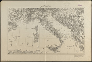
Italy
49.
Karte vom kriegschauplatz
50.
Kelly's map of the suburbs of London
51.
Large scale map of Russia in Europe
52.
The Literary Digest liberty map of the Western Front of the Great World War showing the battle line of liberty as it stood...
53.
London
54.
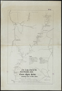
The Long Trail of the Green Mountain Club : Monroe Skyline Section : Bolton to Montclair Glen-Trails to Couching Lion
55.
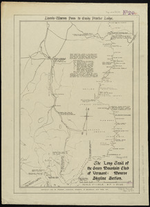
The Long Trail of the Green Mountain Club : Monroe Skyline Section : Lincoln-Warren Pass to Emily Proctor Lodge
56.
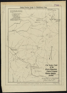
The Long Trail of the Green Mountain Club : Monroe Skyline Section : Emily Proctor Lodge to Middlebury Gap
57.
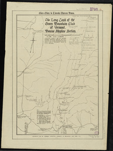
The Long Trail of the Green Mountain Club : Monroe Skyline Section : Glen Ellen to Lincoln-Warren Pass
58.
The Long Trail of the Green Mountain Club : Monroe Skyline Section : Couching Lion to Glen Ellen
59.
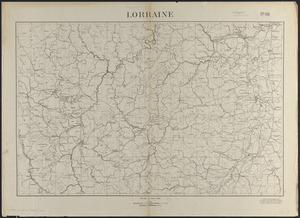
Lorraine
60.
Manitoba : map showing disposition of lands
‹ Prev
Next ›
1
2
3
4
5
6