Toggle navigation
LMEC Home
Exhibitions
Georeferencing
Tools for Teachers
Collections
My Favorites
Sign Up / Log In
Search
Search the map portal
Map Collection
Map Collection
Map Sets
Search
Search
Search for
Search In
All Fields
Creator
Title
Subject
Place
Search All Digital Collections
Advanced Search
85 Results
My Search
Start Over
Date
1810
to
1814
Remove constraint Date: <span class='from'>1810</span> to <span class='to'>1814</span>
Filter your Search
Place
North and Central America
51
United States
37
Europe
16
Massachusetts
14
Suffolk (county)
6
Boston
5
Canada
5
Germany
5
more
Place
»
Topic
United States--Maps
6
Boston (Mass.)--Maps
4
Korea--Maps
4
World maps
4
China--Maps
3
Massachusetts--Maps
3
Mexico--Maps
3
New York (State)--Maps
3
more
Topic
»
Date
1810
to
1814
[remove]
85
Date range begin
–
Date range end
Current results range from
1760
to
1990
1810
to
1810
50
1811
to
1811
56
1812
to
1812
59
1813
to
1813
54
1814
to
1814
57
Creator
Arrowsmith, Aaron, 1750-1823
3
Neele, Samuel John, 1758-1824
3
Carey, Mathew, 1760-1839
2
Lambert, Samuel, 1768-1832
2
Lapie, M. (Pierre), 1779-1850
2
Poirson, J. B. (Jean Baptiste), 1760-1831
2
Tardieu, P. F. (Pierre François), 1757-1822
2
Thomson, John, 19th cent
2
more
Creator
»
Format
Maps/Atlases
85
Manuscripts
20
Georeferenced
Yes
13
No
72
Collection
Norman B. Leventhal Map & Education Center Collection
61
American Revolutionary War-Era Maps
18
Boston and New England Maps
13
Urban Maps
8
Library of Congress Collection
5
MacLean Collection Map Library
4
Maritime Charts and Atlases
4
Sidney R. Knafel Map Collection at Phillips Academy
3
more
Collection
»
Available to use
No known restrictions
63
Creative Commons license
8
Search Constraints
Sort by relevance
relevance
title
date (asc)
date (desc)
Number of results to display per page
20 per page
10
per page
20
per page
50
per page
100
per page
View results as:
grid view
map view
Search Results
41.
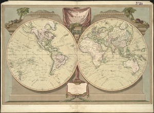
A map of the world
42.
[Map of W. Dall's lots in Athens County, Washington County, and Gallia County, Ohio]
43.
Massachusetts
44.
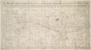
A Mercator map of the starry heavens, comprehending the whole equinoctial, and terminated by the polar circles
45.
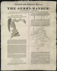
Natural and political history of the Gerry-mander! : In two chapters
46.
A new chart of Massachusetts Bay drawn from the latest authorities
47.
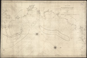
A new chart of Nantucket Shoals & George's Bank with the adjacent coast
48.
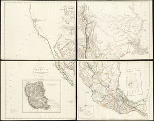
A new map of Mexico and adjacent provinces compiled from original documents
49.
A new map of the world, with Captain Cook's tracks, his discoveries and those of the other circumnavigators
50.
North America
51.
Orbis veteribus notus scilicet: Europe, Asia, Africa publici juris factus
52.
Physical map of Germany
53.
[Plan de defense de New-Port] : [dans l'Isle Rhode (Amerique Septentrionalle) par l'escadre du Roy aux ordres de Monsieur le...
54.
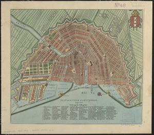
Plan de la ville d'Amsterdam
55.
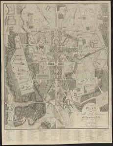
Plan de la ville et du château de Versailles
56.
A plan of Boston, from actual survey by Osgood Carleton
57.
Plan of Dean Danl Greens farm in Reading
58.
[Plan of estates on Charles River bridge, Prince Street, Lynn Court, and Snow Hill Street]
59.
Plan of Portland
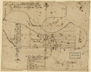
60.
Plan of the bay of Tortuga
‹ Prev
Next ›
1
2
3
4
5

![[Map of W. Dall's lots in Athens County, Washington County, and Gallia County, Ohio]](https://bpldcassets.blob.core.windows.net/derivatives/images/commonwealth:w9505s00n/image_thumbnail_300.jpg)


![[Plan de defense de New-Port]](https://bpldcassets.blob.core.windows.net/derivatives/images/commonwealth:z603vn044/image_thumbnail_300.jpg)


![[Plan of estates on Charles River bridge, Prince Street, Lynn Court, and Snow Hill Street]](https://bpldcassets.blob.core.windows.net/derivatives/images/commonwealth:x059c9615/image_thumbnail_300.jpg)