Toggle navigation
LMEC Home
Exhibitions
Georeferencing
Tools for Teachers
Collections
My Favorites
Sign Up / Log In
Search
Search the map portal
Map Collection
Map Collection
Map Sets
Search
Search
Search for
Search In
All Fields
Creator
Title
Subject
Place
Search All Digital Collections
Advanced Search
83 Results
My Search
Start Over
Russia maps
Remove constraint Russia maps
Filter your Search
Place
Asia
35
Russia
31
North and Central America
18
Europe
15
United States
15
Boston
12
Suffolk (county)
12
Ukraine
7
more
Place
»
Topic
Boston (Mass.)--Maps
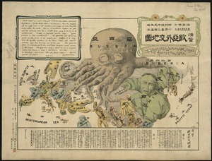
12
Immigrants--Massachusetts--Boston--Maps
12
Russia--Maps--Early works to 1800
7
Russia--Maps
6
Europe, Eastern--Maps
5
Europe--Maps
5
Alaska--Maps
4
Ukraine--Maps--Early works to 1800
4
more
Topic
»
Date
Date range begin
–
Date range end
Current results range from
1482
to
2017
View distribution
Creator
United States. Hydrographic Office
10
Boggs, William Brenton, 1809-1875
6
Boston Planning and Development Agency
6
Boston Redevelopment Authority. Office of Digital Cartography & GIS
6
Knorr, E. R. (Ernest Rudolph)
6
United States North Pacific Exploring Expedition (1853-1856)
6
Ptolemy, 2nd cent
5
Siebert, Selmar
5
more
Creator
»
Format
Maps/Atlases
83
Georeferenced
Yes
17
No
66
Collection
Norman B. Leventhal Map Center Collection
80
Maritime Charts and Atlases
10
MacLean Collection Map Library
3
Available to use
No known restrictions
80
Search Constraints
Sort by relevance
relevance
title
date (asc)
date (desc)
Number of results to display per page
20 per page
10
per page
20
per page
50
per page
100
per page
View results as:
grid view
map view
Search Results
41.
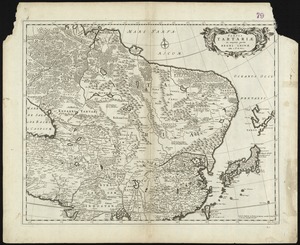
Tabula Tartariae et majoris partis Regni Chinae
42.
Regni Sueciae tabula generalis, divisa in Sueciae, Gotiaeq[ue] regna Finniae ducatum Lapponiam, Livoniam Ingrianq[ue] et in...
43.
Carte de la mer noire, d'Azof et de Marmora : composée et gravée au dépôt impérial des cartes en 1804 d'après les...
44.
North western America showing the territory ceded by Russia to the United States
45.
North western America showing the territory ceded by Russia to the United States
46.
Maps of Europe
47.
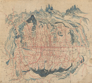
Map of Seoul
48.
Maps with a moral
49.
The country around Herat : projected from Major Holditch's map
50.
Poland, shewing the claims of Russia, Prussia & Austria, until the late depredations, the extent of which cannot as yet be...
51.
Standard Russo-Japanese war map July 1904
52.
Serio-comic war map for the year 1877
53.
Maps of the Far East, illustrating Russo-Japanese War
54.
[Mid]dleton's [pione]er map of the [w]orld, [as a?] plane and immoveable
55.
P. McD. Collins' proposed overland telegraph : via Behrings Strait and asiatic Russia to Europe, under Russian & British grants
56.
The battle-field of the nations : a panoramic view of the seat of war in the Danubian provinces, Turkey, Asia Minor, Southern...
57.
A humorous diplomatic atlas of Europe and Asia
58.
Podrobnaia militernaia karta, po granits Rossii s Turtsieiu
59.
Fortifications of Central Europe : sheet no. 2 containing 16 plans
60.
North America
‹ Prev
Next ›
1
2
3
4
5
![Regni Sueciae tabula generalis, divisa in Sueciae, Gotiaeq[ue] regna Finniae ducatum Lapponiam, Livoniam Ingrianq[ue] et in omnes subiacentes provincias](https://bpldcassets.blob.core.windows.net/derivatives/images/commonwealth:cj82kt14t/image_thumbnail_300.jpg)


![[Mid]dleton's [pione]er map of the [w]orld, [as a?] plane and immoveable](https://bpldcassets.blob.core.windows.net/derivatives/images/commonwealth:7h149v84p/image_thumbnail_300.jpg)