Toggle navigation
LMEC Home
Exhibitions
Georeferencing
Tools for Teachers
Collections
My Favorites
Sign Up / Log In
Search
Search the map portal
Map Collection
Map Collection
Map Sets
Search
Search
Search for
Search In
All Fields
Creator
Title
Subject
Place
Search All Digital Collections
Advanced Search
47 Results
My Search
Start Over
1805
Remove constraint 1805
Filter your Search
Place
North and Central America
29
United States
26
Europe
7
Canada
5
Massachusetts
5
North America
5
Boston
3
France
3
more
Place
»
Topic
Manuscript maps
6
North America--Maps--Early works to 1800
4
Northeastern States--Maps--Early works to 1800
4
United States--Maps--Early works to 1800
3
Boston (Mass.)--Maps--Early works to 1800
2
Boston Bay (Mass.)--Maps--Early works to 1800
2
Boston Harbor (Mass.)--Maps--Early works to 1800
2
Cornwallis, Charles Cornwallis, Marquis, 1738-1805
2
more
Topic
»
Date
Date range begin
–
Date range end
Current results range from
1755
to
1849
View distribution
Creator
Pownall, Thomas, 1722-1805
9
Pintado, Vicente Sebastián, 1774-1829
6
Chabert, Joseph Bernard, marquis de, 1724-1805
3
Desnos, Louis-Charles, 1725-1805
3
Laurie & Whittle
3
Bowen, Thomas Bartholomew, 1742?-1805
2
Churchman, John, 1753-1805
2
Cornwallis, Charles Cornwallis, Marquis, 1738-1805
2
more
Creator
»
Format
Maps/Atlases
46
Manuscripts
11
Objects/Artifacts
1
Georeferenced
Yes
4
No
43
Collection
American Revolutionary War-Era Maps
34
Norman B. Leventhal Map & Education Center Collection
18
Library of Congress Collection
8
Boston and New England Maps
5
Urban Maps
5
American Antiquarian Society Collection
4
Maritime Charts and Atlases
4
Richard H. Brown Revolutionary War Map Collection at Mount Vernon
4
more
Collection
»
Available to use
Creative Commons license
22
No known restrictions
16
Search Constraints
Sort by relevance
relevance
title
date (asc)
date (desc)
Number of results to display per page
20 per page
10
per page
20
per page
50
per page
100
per page
View results as:
grid view
map view
Search Results
41.
Carte particuliere du havre de Boston : avec les sondes les bancs de Sable, les rochers les Amaies et les autres directions...
42.
Heathers, improved chart of the Bermudas, drawn from the best surveys
43.
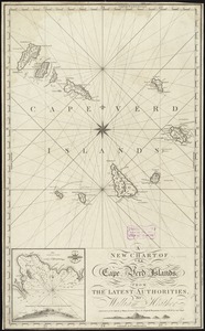
A new chart of the Cape Verd Islands, from the latest authorities
44.
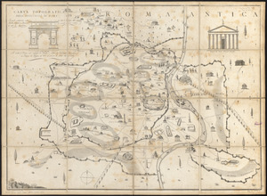
Carta topografica dell'antichità di Roma : la quale esattamente contiene tutte le vestigie delle antiche fabriche, e monumenti...
45.
A plan of Boston, from actual survey
46.
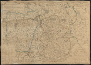
Carte des départements de La Sarthe, de La Mayenne et autres limitrophes, divisée d'apres les décrets de l'Assemblée Nationale
47.
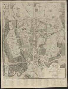
Plan de la ville et du château de Versailles
‹ Prev
Next ›
1
2
3