Toggle navigation
LMEC Home
Exhibitions
Georeferencing
Tools for Teachers
Collections
My Favorites
Sign Up / Log In
Search
Search the map portal
Map Collection
Map Collection
Map Sets
Search
Search
Search for
Search In
All Fields
Creator
Title
Subject
Place
Search All Digital Collections
Advanced Search
109 Results
My Search
Start Over
Date
1834
to
1835
Remove constraint Date: <span class='from'>1834</span> to <span class='to'>1835</span>
Filter your Search
Place
North and Central America
62
United States
51
Boston
15
Suffolk (county)
15
Europe
11
Michigan
5
Massachusetts
4
New England
4
more
Place
»
Topic
Boston (Mass.)--Maps
11
Ohio--Boundaries--Michigan--Maps
6
Michigan--Boundaries--Ohio--Maps
5
Korea--Maps
4
United States--Maps
4
China--Maps
3
Japan--Maps
3
Maryland--Maps
3
more
Topic
»
Date
1834
to
1835
[remove]
109
Date range begin
–
Date range end
Current results range from
1770
to
1990
1834
to
1834
72
1835
to
1835
82
Creator
Bradford, T. G. (Thomas Gamaliel), 1802-1887
4
Fuller, Stephen P.
3
Hood, Washington.
3
Baldwin & Cradock
2
Bonner, John, ca. 1643-1726
2
Burr, David H., 1803-1875
2
Chapin, William, 1802-1888
2
Hood, Washington
2
more
Creator
»
Format
Maps/Atlases
107
Manuscripts
12
Drawings/Illustrations
1
Objects/Artifacts
1
Prints
1
Georeferenced
Yes
17
No
92
Collection
Norman B. Leventhal Map Center Collection
90
Boston and New England Maps
26
Urban Maps
25
American Revolutionary War-Era Maps
12
Library of Congress Collection
5
MacLean Collection Map Library
4
Robert E. Diefenbach Map Collection at Phillips Academy
3
Sidney R. Knafel Map Collection at Phillips Academy
3
more
Collection
»
Available to use
No known restrictions
93
Creative Commons license
6
Search Constraints
Sort by relevance
relevance
title
date (asc)
date (desc)
Number of results to display per page
20 per page
10
per page
20
per page
50
per page
100
per page
View results as:
grid view
map view
Search Results
41.
A map of Berkshire County Mass
42.
Map of Mobile Bay
43.
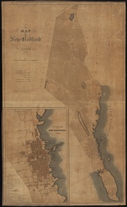
Map of New Bedford
44.
Map of the British and French dominions in North America, drawn by order of the British government in 1755, showing what that...
45.
Map of the country embracing the several routes examined with a view to a national road from Washington to Lake Ontario
46.
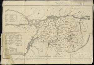
Map of the Eastern Townships of Lower Canada
47.
A map of the extremity of Cape Cod : including the townships of Provincetown & Truro: with chart of their sea coast and of Cape...
48.
Map of the lands in Mississippi ceded by the Chickasaws to the United States in 1832 and 1834
49.
A map of the New England states : Maine, New Hampshire, Vermont, Massachusetts, Rhode Island & Connecticut, with the adjacent...
50.
Map of the Southern provinces of the United States
51.
Map of the United States : intending chiefly to exhibit the post roads & distances
52.
Map of the United States
53.
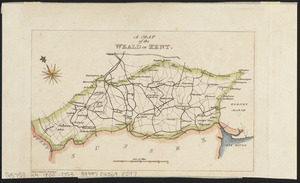
A map of the Weald of Kent
54.
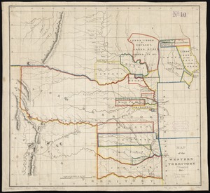
Map of the Western Territory &c
55.
[Map of W. Dall's lots in Athens County, Washington County, and Gallia County, Ohio]
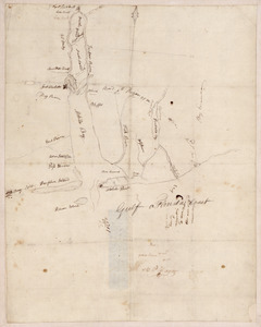
56.
Massachusetts
57.
Massachusetts
58.
National map of the United States
59.
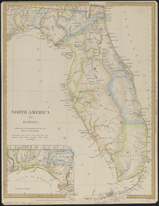
North America : Florida
60.
Northern Africa
‹ Prev
Next ›
1
2
3
4
5
6


![[Map of W. Dall's lots in Athens County, Washington County, and Gallia County, Ohio]](https://bpldcassets.blob.core.windows.net/derivatives/images/commonwealth:w9505s00n/image_thumbnail_300.jpg)