Toggle navigation
LMEC Home
Exhibitions
Georeferencing
Tools for Teachers
Collections
My Favorites
Sign Up / Log In
Search
Search the map portal
Map Collection
Map Collection
Map Sets
Search
Search
Search for
Search In
All Fields
Creator
Title
Subject
Place
Search All Digital Collections
Advanced Search
48 Results
My Search
Start Over
Date
1749
Remove constraint Date: <span class='single'>1749</span>
Filter your Search
Place
North and Central America
34
United States
13
Canada
11
North America
8
New York
5
America
4
Mesoamerica
4
South America
4
more
Place
»
Topic
Western Hemisphere--Maps--Early works to 1800
3
Africa, West--Maps--Early works to 1800
2
America--Maps--Early works to 1800
2
Boston Harbor (Mass.)--Maps--Early works to 1800
2
Cape Breton Island (N.S.)--Maps, Manuscript--Early works to 1800
2
Fortification--Newfoundland and Labrador--St. John's--Maps, Manuscript--Early works to 1800
2
Fortification--Québec (Province)--Saint-Jean-sur-Richelieu--Maps, Manuscript--Early works to 1800
2
Harbors--Newfoundland and Labrador--St. John's--Maps, Manuscript--Early works to 1800
2
more
Topic
»
Date
1749
[remove]
48
Date range begin
–
Date range end
Current results range from
1699
to
1800
1749
to
1749
48
Creator
Robert de Vaugondy, Didier, 1723-1786
7
Royal United Services Institute for Defence and Security Studies
6
George, III, King of Great Britain, 1738-1820
5
George, IV, King of Great Britain, 1762-1830
5
Amherst, Jeffery Amherst, Baron, 1717-1797
4
Grierson, George, d. 1753
3
Bellin, Jacques Nicolas, 1703-1772
2
Burghers, M.
2
more
Creator
»
Format
Maps/Atlases
47
Manuscripts
7
Drawings/Illustrations
1
Georeferenced
Yes
1
No
47
Collection
American Revolutionary War-Era Maps
31
Norman B. Leventhal Map & Education Center Collection
17
William L. Clements Library Collection
14
British Library Collection
13
Mapping Boston Collection
3
Maritime Charts and Atlases
3
MacLean Collection Map Library
2
Boston and New England Maps
1
more
Collection
»
Available to use
Creative Commons license
17
No known restrictions
15
Search Constraints
Sort by relevance
relevance
title
date (asc)
date (desc)
Number of results to display per page
20 per page
10
per page
20
per page
50
per page
100
per page
View results as:
grid view
map view
Search Results
21.
A large draught of New England, New York and Long Island
22.
A map of lot no 1 in the Hardenbergh Patent
23.
A map of lot no 4 in the [Ha]rdenbergh Patent
24.
A map of part of the Isthmus of Darien : shewing the communication with Panama, from Portobello & Chagre both by land, and by...
25.
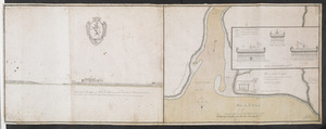
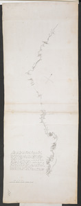
[Map showing Saint John's Harbour and a proposed fort]
26.
A new map of North America shewing its principal divisions, chief cities, townes, rivers, mountains &c
27.
A new map of the terraqueous globe according to the latest discoveries and most general divisions of it into continents and oceans
28.
A new suruey of the harbour of Boston in New England
29.
Nieuwe kaart van America uitgegeven te Amsterdam
30.
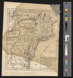
Nouvelle Angleterre, Nlle. York, Nlle. Jeersey, Pensilvanie, Mariland et Virginie
31.
Nov[us] orbis sive America septentrionalis, divisa per sua regna provinc. et insul : cura et opera
32.
Part of modern Orange County
33.
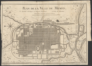
Plan de la ville de Meaco
34.
Plan du fort de Chouéghen de la Riviere Et de terrain aux Environs au Sud du Lac Ontario
35.
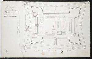
Plan du fort S.t Jean
36.
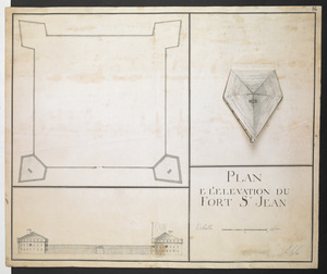
PLAN E L'ELEVATION DU FORT S.T JEAN
37.
Plan of Part of Black River & Part of Otter Creek with the Distances by Computation
38.
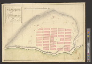
A plan of the town of Halifax in Nova Scotia August 1749
39.
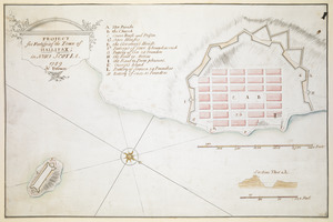
PROJECT for Fortifying the Town of HALLIFAX ; in NOVA SCOTIA
40.
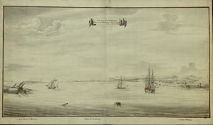
A Prospect of LOUISBOURG taken from ye NE Harbour
‹ Prev
Next ›
1
2
3


![A map of lot no 4 in the [Ha]rdenbergh Patent](https://bpldcassets.blob.core.windows.net/derivatives/metadata/commonwealth-oai:zs262628v/image_thumbnail_300.jpg)

![[Map showing Saint John's Harbour and a proposed fort]](https://bpldcassets.blob.core.windows.net/derivatives/images/commonwealth:6108vw12v/image_thumbnail_300.jpg)


![Nov[us] orbis sive America septentrionalis, divisa per sua regna provinc. et insul](https://bpldcassets.blob.core.windows.net/derivatives/images/commonwealth:wd376505f/image_thumbnail_300.jpg)