Toggle navigation
LMEC Home
Exhibitions
Georeferencing
Tools for Teachers
Collections
My Favorites
Sign Up / Log In
Search
Search the map portal
Map Collection
Map Collection
Map Sets
Search
Search
Search for
Search In
All Fields
Creator
Title
Subject
Place
Search All Digital Collections
Advanced Search
56 Results
My Search
Start Over
g3201
Remove constraint g3201
Filter your Search
Place
World
53
Europe
2
Germany
2
Topic
World maps
36
Pictorial maps
8
Telegraph lines--Maps
8
Map projection
3
Telecommunication--Maps
3
Trade routes--Maps
3
World War, 1939-1945--Maps
3
World maps--Early works to 1800
3
more
Topic
»
Date
Date range begin
–
Date range end
Current results range from
1668
to
2006
View distribution
Creator
Chase, Ernest Dudley, 1878-
6
International Telegraph Bureau (Bern, Switzerland)
4
ODT, Inc
3
Chase, Ernest Dudley, 1878-1966
2
United States. Hydrographic Office
2
Van Hoven, C.
2
Whiting, Oliver K.
2
Abizaid, John George, 1868-
1
more
Creator
»
Format
Maps/Atlases
55
Objects/Artifacts
1
Prints
1
Georeferenced
Yes
2
No
54
Collection
Norman B. Leventhal Map & Education Center Collection
56
American Revolutionary War-Era Maps
2
Available to use
No known restrictions
53
Search Constraints
Sort by relevance
relevance
title
date (asc)
date (desc)
Number of results to display per page
20 per page
10
per page
20
per page
50
per page
100
per page
View results as:
grid view
map view
Search Results
21.
A map of the world from the best authorities
22.
Map of the world, shewing the tracks & discoveries of Captn. Cook
23.
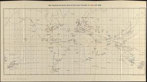
Map showing recorded dates of influenza epidemic in 1889 and 1890
24.
Map showing the telegraph lines in operation, under contract, and contemplated, to complete the circuit of the globe
25.
Map showing the telegraph lines in operation, under contract, and contemplated, to complete the circuit of the globe
26.
Mercator map of the world united : a pictorial history of transport and communications and paths to permanent peace
27.
[Mid]dleton's [pione]er map of the [w]orld, [as a?] plane and immoveable
28.
New correct map of the flat surface, stationary earth
29.
The new map of the world
30.
Orbis veteribus notus scilicet: Europe, Asia, Africa publici juris factus
31.
P. McD. Collins' proposed overland telegraph : via Behrings Strait and asiatic Russia to Europe, under Russian & British grants
32.
Peace map of the world united : a pictorial history of transportation and communications from Jonah to the jet plane as paths...
33.
Peters World map
34.
Philips Radio
35.
Physical map of the world, April 2001
36.
The pictorial map, a world of stamps
37.
A pictorial stamp map of navigation and exploration
38.
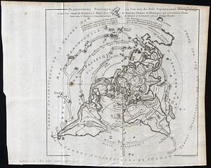
Planisphere physique, où l'on voit du Pole Septentrional ce que l'on connoit de terres et de mers : avec les grandes chaines...
39.
Plastischer schul-atlas
40.
The population map
‹ Prev
Next ›
1
2
3


![[Mid]dleton's [pione]er map of the [w]orld, [as a?] plane and immoveable](https://bpldcassets.blob.core.windows.net/derivatives/images/commonwealth:7h149v84p/image_thumbnail_300.jpg)