Toggle navigation
LMEC Home
Exhibitions
Georeferencing
Tools for Teachers
Collections
My Favorites
Sign Up / Log In
Search
Search the map portal
Map Collection
Map Collection
Map Sets
Search
Search
Search for
Search In
All Fields
Creator
Title
Subject
Place
Search All Digital Collections
Advanced Search
202 Results
My Search
Start Over
Italy, map
Remove constraint Italy, map
Filter your Search
Place
Europe
183
Italy
165
Latian
30
Roma
25
Rome
23
North and Central America
14
United States
14
Boston
12
more
Place
»
Topic
Italy--Maps
24
Rome (Italy)--Maps
15
Italy--Maps--Early works to 1800
14
Boston (Mass.)--Maps
12
Immigrants--Massachusetts--Boston--Maps
12
Piedmont (Italy)--Maps--Early works to 1800
6
Rome (Italy)--Historical geography--Maps
6
Sardinia (Italy)--Maps--Early works to 1800
6
more
Topic
»
Date
Date range begin
–
Date range end
Current results range from
1482
to
2017
View distribution
Creator
Blaeu, Joan, 1596-1673
16
Cassini, Gio. Ma. (Giovanni Maria), 1745-ca. 1824
13
United States. Hydrographic Office
10
Ptolemy, 2nd cent
8
Wit, Frederik de.
7
Boston Planning and Development Agency
6
Boston Redevelopment Authority. Office of Digital Cartography & GIS
6
J. & C. Walker (Firm)
5
more
Creator
»
Format
Maps/Atlases
202
Georeferenced
Yes
27
No
175
Collection
Norman B. Leventhal Map & Education Center Collection
198
Urban Maps
24
Maritime Charts and Atlases
10
Mapping Boston Collection
2
Ralph Finos Map Collection at Phillips Academy
2
American Revolutionary War-Era Maps
1
MacLean Collection Map Library
1
New-York Historical Society Collection
1
Available to use
No known restrictions
199
Creative Commons license
2
Search Constraints
Sort by relevance
relevance
title
date (asc)
date (desc)
Number of results to display per page
20 per page
10
per page
20
per page
50
per page
100
per page
View results as:
grid view
map view
Search Results
21.
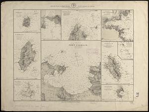
Special plans to chart no. 320, west-coast of Italy
22.
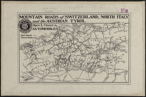
Mountain roads of Switzerland, north Italy and the Austrian Tyrol : open & closed to automobiles
23.
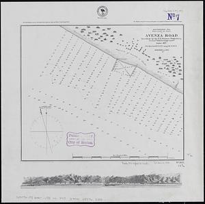
Mediterranean Sea, west coast of Italy, Avenza Road
24.
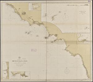
Mediterranean Sea, the west coast of Italy, sheet III, from Civita Vecchia to the Gulf of S. Eufemia
25.
Hammond's large scale war map of the Italian Front
26.
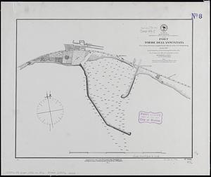
Mediterranean, south west coast of Italy, Gulf of Naples, Port Torre dell'Annunziata
27.
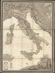
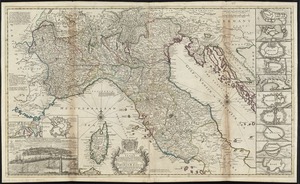
Italia cum insulis et regionibus finitimis
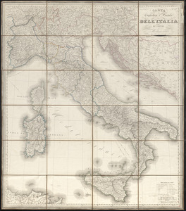
28.
Carta geografica e postale dell' Italia ridotta dalle migliori carte fin' ora esistenti coll' indicazione di tutte le strade...
29.
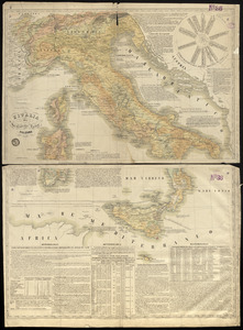
Carta d'Italia : alla scala di la 800,000
30.
Carta statistica e postale dell'Italia
31.
Charte von Italien : Nach seiner neuesten Eintheilung und den vorzüglichsten Hülfsmitteln
32.
Nuova carta dell'Italia
33.
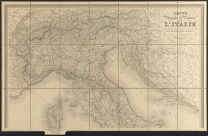
Carte physique & routière de l'Italie indiquant les distances d'un relais à l'autre et les dernières divisions politiques
34.
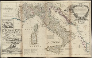
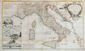
A new map of Italy distinguishing all the sovereignties in it, whether states, kingdoms, dutchies, principalities, republicks,...
35.
A new map of Italy distinguishing all the sovereignties in it, whether states, kingdoms, dutchies, principalities, republicks,...
36.
L'Italia
37.
A new map of the upper part of Italy containing ye principality of Piemont ye Dutchies of Savoy, Milan, Parma, Mantua, Modena,...
38.
Indicazione del piu rimarcabile in Napoli e contorni
39.
Tracciamento della strada di ferro da Milano a Venezia
40.
Presidio di Firenze
‹ Prev
Next ›
1
2
3
4
5
6
…
10
11