Toggle navigation
LMEC Home
Exhibitions
Georeferencing
Tools for Teachers
Collections
My Favorites
Sign Up / Log In
Search
Search the map portal
Map Collection
Map Collection
Map Sets
Search
Search
Search for
Search In
All Fields
Creator
Title
Subject
Place
Search All Digital Collections
Advanced Search
200 Results
My Search
Start Over
1868
Remove constraint 1868
Filter your Search
Place
United States
140
North and Central America
85
Boston
28
Europe
27
Suffolk (county)
26
Asia
9
Massachusetts
5
New York
5
more
Place
»
Topic
United States--Maps
71
Elections--United States--Maps
33
Boston (Mass.)--Maps
19
Population density--United States--Maps
14
Pictorial maps
13
Suffrage--United States--Maps
6
Voting--United States--Maps
6
Boston Harbor (Mass.)--Maps
4
more
Topic
»
Date
Date range begin
–
Date range end
Current results range from
1817
to
1932
View distribution
Creator
Paullin, Charles Oscar, 1868 or 1869-1944
70
Wright, John Kirtland, 1891-1969
70
United States. Hydrographic Office
17
Mitchell, S. Augustus (Samuel Augustus), 1792-1868
15
Mitchell, S. Augustus, (Samuel Augustus), Jr
14
Harvey, William, 1796-1873
12
Hodder and Stoughton
12
Lancaster, Elizabeth Lilian, 1852-1939
12
more
Creator
»
Format
Maps/Atlases
198
Objects/Artifacts
1
Photographs
1
Prints
1
Georeferenced
Yes
35
No
165
Collection
Norman B. Leventhal Map Center Collection
194
Boston and New England Maps
36
Urban Maps
36
Maritime Charts and Atlases
18
Mapping Boston Collection
7
Robert E. Diefenbach Map Collection at Phillips Academy
4
MacLean Collection Map Library
1
Town plans, 1830
1
Available to use
No known restrictions
122
Creative Commons license
7
Search Constraints
Sort by date (asc)
relevance
title
date (asc)
date (desc)
Number of results to display per page
20 per page
10
per page
20
per page
50
per page
100
per page
View results as:
grid view
map view
Search Results
21.
227 Harzgerode
22.
Behring's Sea and Arctic Ocean : from surveys of the U.S. North Pacific Surveying Expedition in 1855, Commander John Rodgers,...
23.
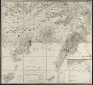
Carta de' contorni di Napoli
24.
Changes in the bed of Boston Harbor from a comparison of the surveys of 1835-61
25.
Coblenz
26.
Colton's map of the territory of Alaska : (Russian America) ceded by Russia to the United States
27.
Colton's Vermont
28.
County map of Boone, McHenry, Lake, De Kalb, Kane, Du Page, Cook, Kendall, Grundy, Will, and Kankakee
29.
Denmark
30.
Edinburgh
31.
England
32.
Fairmount Park, Philadelphia, 1868 : with limits, as prescribed in Act of Assembly, approved March 26th, 1868 : showing the...
33.
France
34.
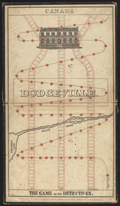
The game of the detectives
35.
Germany
36.
Holland and Belgium
37.
Insurance map of Boston : volume 2
38.
Insurance map of Charlestown : portions of Roxbury (now annexed to Boston) and Cambridge
39.
Ireland
40.
Iserlohn
‹ Prev
Next ›
1
2
3
4
5
6
…
9
10