Toggle navigation
LMEC Home
Exhibitions
Georeferencing
Tools for Teachers
Collections
My Favorites
Sign Up / Log In
Search
Search the map portal
Map Collection
Map Collection
Map Sets
Search
Search
Search for
Search In
All Fields
Creator
Title
Subject
Place
Search All Digital Collections
Advanced Search
387 Results
My Search
Start Over
Date
1900
to
1904
Remove constraint Date: <span class='from'>1900</span> to <span class='to'>1904</span>
Filter your Search
Place
North and Central America
303
United States
247
Massachusetts
100
Boston
60
Suffolk (county)
60
Asia
36
Canada
26
New York
18
more
Place
»
Topic
Boston (Mass.)--Maps
41
Landowners--Massachusetts--Boston--Maps
26
Gold mines and mining--Nova Scotia--Maps
13
United States--Maps
10
Indian reservations--Oklahoma--Maps
9
Massachusetts--Maps
9
Geology--Nova Scotia--Halifax (County)--Maps
8
Halifax (N.S. : County)--Maps
8
more
Topic
»
Date
1900
to
1904
[remove]
387
Date range begin
–
Date range end
Current results range from
1770
to
1999
1900
to
1900
114
1901
to
1901
95
1902
to
1902
78
1903
to
1903
154
1904
to
1904
89
Creator
United States. Post Office Dept
34
Lamb, George
16
United States. War Department
16
Geological Survey of Canada
14
Geo. H. Walker & Co.
13
Geo. H. Walker & Co
11
Bromley, George Washington
10
Bromley, Walter Scott
10
more
Creator
»
Format
Maps/Atlases
382
Manuscripts
4
Prints
3
Books
2
Documents
1
Photographs
1
Posters
1
Georeferenced
Yes
53
No
334
Collection
Norman B. Leventhal Map & Education Center Collection
363
Urban Maps
39
Boston and New England Maps
37
Massachusetts Real Estate Atlases
9
Robert E. Diefenbach Map Collection at Phillips Academy
9
Maritime Charts and Atlases
3
Ralph Finos Map Collection at Phillips Academy
2
American Revolutionary War-Era Maps
1
more
Collection
»
Available to use
No known restrictions
374
Creative Commons license
1
Search Constraints
Sort by relevance
relevance
title
date (asc)
date (desc)
Number of results to display per page
20 per page
10
per page
20
per page
50
per page
100
per page
View results as:
grid view
map view
Search Results
361.
The south part of New-England, as it is planted this yeare, 1635
362.
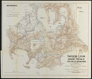
Southern Luzon : showing portion of theatre of operations ; 8th Army Corps, Major General Elwell S. Otis commanding
363.
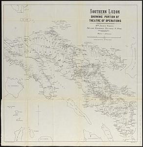
Southern Luzon, showing portion of theatre of operations : 8th Army Corps, Major General Elwell S. Otis commanding
364.
Spezialkarte der Samoa-Inseln
365.
Standard Russo-Japanese war map July 1904
366.
State of Chiapas
367.
State of Oaxaca
368.
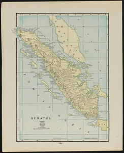
Sumatra
369.
To his excellency William Shirley Esqr., Captain General and Commander in Chief, in and over his Majesty's province of the...
370.
Topographical map of the Rocky Mountains : Lake Louise sheet
371.
Topographical map of the Rocky Mountains : Banff sheet
372.
Touring road map of Chicago and environs : 6 counties
373.
Tourist's map of Scotland : reduced by permission from the Ordnance Survey by John Bartholomew, F.R.G.S.
374.
Town of Nahant
375.
Trees in Brookline, Massachusetts
376.
Trolley wayfinder, birds eye view of trolley routes in New England
377.
Uncle Sam's family tree
378.
United States
379.
United States, including territories and insular possessions, showing the extent of public surveys, Indian, military and forest...
380.
The United States of America : including all its newly acquired territory
‹ Prev
Next ›
1
2
…
15
16
17
18
19
20