Toggle navigation
LMEC Home
Exhibitions
Georeferencing
Tools for Teachers
Collections
My Favorites
Sign Up / Log In
Search
Search the map portal
Map Collection
Map Collection
Map Sets
Search
Search
Search for
Search In
All Fields
Creator
Title
Subject
Place
Search All Digital Collections
Advanced Search
1084 Results
My Search
Start Over
Back Bay Boston
Remove constraint Back Bay Boston
Filter your Search
Place
North and Central America
833
United States
531
Massachusetts
238
Suffolk (county)
179
Boston
173
Canada
115
South America
62
Asia
61
more
Place
»
Topic
Boston (Mass.)--Maps
60
City planning--Massachusetts--Boston--Maps
48
Back Bay (Boston, Mass.)--Maps
47
North America--Maps--Early works to 1800
35
Landowners--Massachusetts--Boston--Maps
26
Real property--Massachusetts--Boston--Maps
26
New England--Maps--Early works to 1800
24
Nova Scotia--Maps--Early works to 1800
24
more
Topic
»
Date
Date range begin
–
Date range end
Current results range from
1565
to
2020
View distribution
Creator
United States. Hydrographic Office
277
Des Barres, Joseph F. W. (Joseph Frederick Wallet), 1722-1824
64
Boston Redevelopment Authority
36
Jefferys, Thomas, -1771
24
Sayer, Robert, 1725-1794
24
Franke, M. (Max)
23
U.S. Lake Survey
22
United States Exploring Expedition (1838-1842)
21
more
Creator
»
Format
Maps/Atlases
1,069
Manuscripts
69
Drawings/Illustrations
10
Objects/Artifacts
3
Prints
3
Books
1
Posters
1
Georeferenced
Yes
54
No
1,030
Collection
Norman B. Leventhal Map & Education Center Collection
945
Maritime Charts and Atlases
481
Boston and New England Maps
265
American Revolutionary War-Era Maps
231
Urban Maps
138
Boston Redevelopment Authority Collection
54
Mapping Boston Collection
40
Library of Congress Collection
35
more
Collection
»
Available to use
No known restrictions
946
Creative Commons license
112
Search Constraints
Sort by relevance
relevance
title
date (asc)
date (desc)
Number of results to display per page
20 per page
10
per page
20
per page
50
per page
100
per page
View results as:
grid view
map view
Search Results
261.
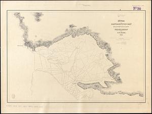
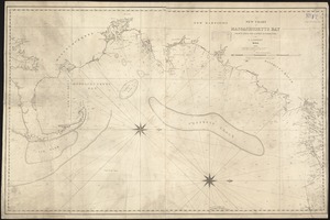
M'Bua or Sandalwood Bay, island of Vanua Levu, Feejee Group
262.
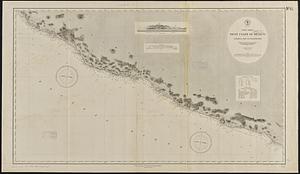
North America, west coast of Mexico, Chamela Bay to Maldonado : surveyed by the officers of the U.S.S. Tuscarora in 1878-9 and...
263.
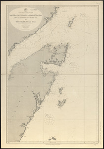
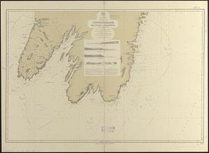
North America--north east coast, north and east coasts of Newfoundland, from Ste. Geneviève Bay to Orange Bay and Strait of...
264.
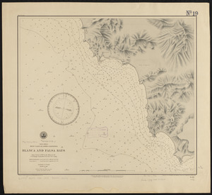
North America, west coast of lower California, Blanca and Falsa Bays : from a survey in 1887 by the officers of the U.S.S....
265.
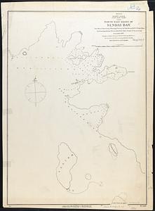
Pacific Ocean, Japan, east coast, north east shore of Sendai Bay
266.
R.L. Polk & Co.'s map of Bay City, and Essexville Mich
267.
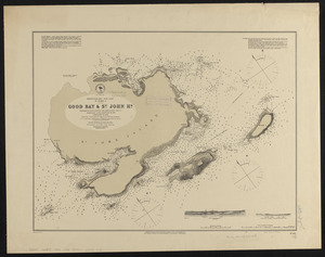
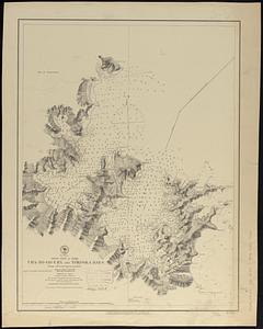
Newfoundland - west coast, St. John I., Good Bay & St. John Hr.
268.
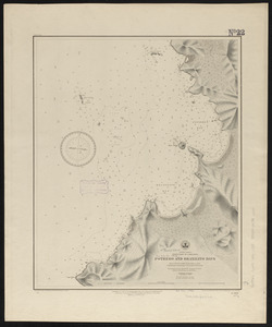
Central America, west coast of Costa Rica, Potrero and Braxilito Bays : from a survey in 1885 by the officers of the U.S.S....
269.
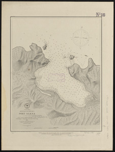
Central America, west coast of Costa Rica, Port Elena (Elena Bay) : from a survey in 1885 by the officers of the U.S.S. Ranger,...
270.
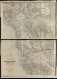
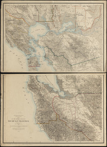
Map of the region adjacent to the Bay of San Francisco
271.
Indian Ocean, Gulf of Aden--North coast, Aden and adjacent bays : republished from the Brit. Admty chart no. 7, corrected to 1873
272.
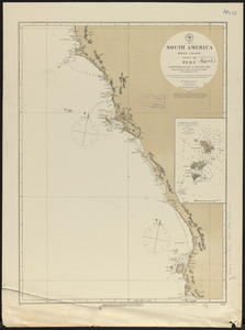
South America, west coast, sheet 13, Peru, Independencia Bay to Begueta : republication of Brit. Admty. chart no. 1323 with...
273.
L'Anse including Portage Entry and part of Keweenaw Bay, Lake Superior
274.
North America, south east coast of Newfoundland, Bay Bulls to Placentia
275.
Caldera Bay, west end of the island of Mindanao, Sooloo Sea
276.
Japan, Gulf of Yezo, Ura-No-Go-Ura and Yokoska Bays : from a French survey in 1870
277.
A new chart of Massachusetts Bay drawn from the latest authorities
278.
West coast of Central America, Gulf of Fonseca, San Lorenzo Bay
279.
United States--east coast, Maryland and Virginia, Chesapeake Bay, northern part
280.
Map of the region adjacent to the bay of San Francisco
‹ Prev
Next ›
1
2
…
10
11
12
13
14
15
16
17
18
…
54
55