Toggle navigation
LMEC Home
Exhibitions
Georeferencing
Tools for Teachers
Collections
My Favorites
Sign Up / Log In
Search
Search the map portal
Map Collection
Map Collection
Map Sets
Search
Search
Search for
Search In
All Fields
Creator
Title
Subject
Place
Search All Digital Collections
Advanced Search
325 Results
My Search
Start Over
Date
1915
to
1919
Remove constraint Date: <span class='from'>1915</span> to <span class='to'>1919</span>
Filter your Search
Place
North and Central America
186
United States
166
Europe
94
Massachusetts
42
Boston
23
Suffolk (county)
23
France
21
Asia
20
more
Place
»
Topic
France--Maps
16
Europe--Maps
13
New England--Maps--Early works to 1800--Facsimiles
12
Real property--Massachusetts--Boston--Maps
11
United States--Maps
11
Balkan Peninsula--Maps
10
Boston (Mass.)--Maps
10
Landowners--Massachusetts--Boston--Maps
10
more
Topic
»
Date
1915
to
1919
[remove]
325
Date range begin
–
Date range end
Current results range from
1770
to
1999
1915
to
1915
84
1916
to
1916
79
1917
to
1917
93
1918
to
1918
105
1919
to
1919
104
Creator
American Geographical Society of New York
36
Gross, Alexander, 1879-1958
27
Bromley, George Washington
15
Bromley, Walter Scott
15
C.S. Hammond & Company
13
Geological Survey (U.S.)
11
Richard Mayer (Firm)
11
G.W. Bromley & Co.
10
more
Creator
»
Format
Maps/Atlases
322
Photographs
3
Books
2
Manuscripts
1
Georeferenced
Yes
36
No
289
Collection
Norman B. Leventhal Map & Education Center Collection
304
Urban Maps
15
Boston and New England Maps
14
Massachusetts Real Estate Atlases
13
Robert E. Diefenbach Map Collection at Phillips Academy
5
American Textile History Museum Image Collection
2
American Revolutionary War-Era Maps
1
Sidney R. Knafel Map Collection at Phillips Academy
1
Available to use
No known restrictions
308
Creative Commons license
1
Search Constraints
Sort by relevance
relevance
title
date (asc)
date (desc)
Number of results to display per page
20 per page
10
per page
20
per page
50
per page
100
per page
View results as:
grid view
map view
Search Results
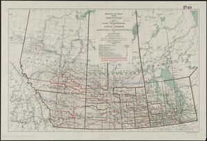
201.
Map showing the land registration and judicial districts of Manitoba, Saskatchewan & Alberta : compiled from information...
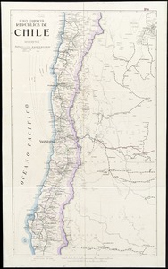
202.
Mapa comercial de la República de Chile
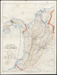
203.
Mapa comercial de la República de Colombia
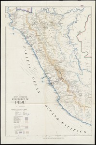
204.
Mapa comercial de la república de Peru
205.
A mapp of New England
206.
The Matthews-Northrup up-to-date map of Buffalo and towns of Tonawanda, Amherst, Cheektowaga and West Seneca
207.
The Matthews-Northrup up-to-date map of Buffalo and Towns of Tonawanda, Amherst, Cheektowaga and West Seneca
208.
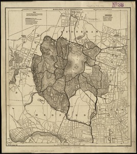
Middlesex Fells Reservation
209.
Military map of the United States of America showing location of all forces in training
210.
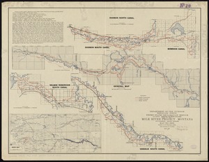
Milk River Irrigation Project, Montana
211.
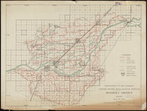
Minidoka Project, Idaho
212.
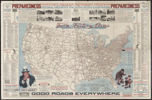
National highways map of the United States showing one hundred fifty thousand miles of national highways proposed by the...
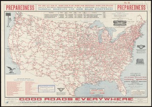
213.
National highways map of the United States showing one hundred thousand miles of national highways proposed by the National...
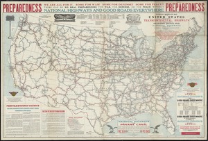
214.
National highways map of the United States showing principal transcontinental highways and connecting system of one hundred...
215.
National map of New England states Vermont, New Hampshire, Massachusetts, Connecticut, Rhode Island and Maine showing counties...
216.
National topographic map of Massachusetts and Rhode Island : showing counties, townships, cities, villages and post offices ......
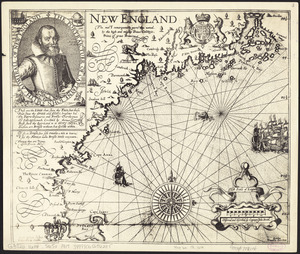
217.
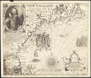
New England : the most remarqueable parts thus named by the high and mighty Prince Charles, Prince of great Britaine
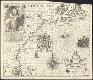
218.
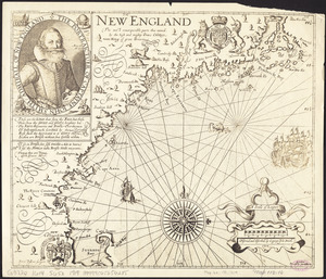
New England : the most remarqueable parts thus named by the high and mighty Prince Charles, nowe king of great Britaine
219.
New England : the most remarqueable parts thus named by the high and mighty Prince Charles, nowe king of great Britaine
220.
New England : the most remarqueable parts thus named by the high and mighty Prince Charles, nowe king of great Britaine
‹ Prev
Next ›
1
2
…
7
8
9
10
11
12
13
14
15
16
17