Toggle navigation
LMEC Home
Exhibitions
Georeferencing
Tools for Teachers
Collections
My Favorites
Sign Up / Log In
Search
Search the map portal
Map Collection
Map Collection
Map Sets
Search
Search
Search for
Search In
All Fields
Creator
Title
Subject
Place
Search All Digital Collections
Advanced Search
286 Results
My Search
Start Over
1880
Remove constraint 1880
Filter your Search
Place
North and Central America
252
United States
241
Massachusetts
97
Wisconsin
46
Suffolk (county)
41
Boston
39
Europe
14
Worcester (county)
14
more
Place
»
Topic
Manuscript maps
47
Boston (Mass.)--Maps
16
United States--Maps
8
City planning--Massachusetts--Boston--Maps
6
New England--Maps
5
Real property--Massachusetts--Boston--Maps
5
Dorchester (Boston, Mass.)--Maps
4
East Boston (Boston, Mass.)--Maps
4
more
Topic
»
Date
Date range begin
–
Date range end
Current results range from
1756
to
2008
View distribution
Creator
United States. Hydrographic Office
19
Campbell-Copeland, T. (Thomas)
7
Dougal, William H., 1822-1895
7
Harper & Brothers
7
U.S. Lake Survey
7
O.H. Bailey & Co
6
Bigelow, E. H.
5
United States. Topographical Bureau
5
more
Creator
»
Format
Maps/Atlases
284
Manuscripts
92
Books
4
Prints
1
Georeferenced
Yes
20
No
266
Collection
Norman B. Leventhal Map & Education Center Collection
267
Boston and New England Maps
100
Urban Maps
71
Maritime Charts and Atlases
27
Massachusetts Real Estate Atlases
8
American Revolutionary War-Era Maps
5
Robert E. Diefenbach Map Collection at Phillips Academy
5
Campus Maps from Phillips Academy Archives and Special Collections
2
more
Collection
»
Available to use
No known restrictions
271
Creative Commons license
3
Search Constraints
Sort by relevance
relevance
title
date (asc)
date (desc)
Number of results to display per page
20 per page
10
per page
20
per page
50
per page
100
per page
View results as:
grid view
map view
Search Results
201.
Proposed street railroad over the Back Bay to Brookline
202.
Railroad and county map of Mississippi
203.
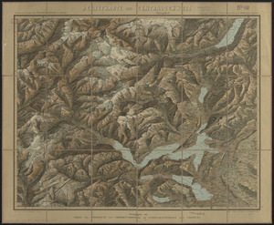
Reliefkarte der Centralschweiz
204.
Tackabury's map of United States
205.
To the honourable Walter Younge, barronet, one of the commissioners for his majestie's collonis : this description of New...
206.
Town of Dedham Massachusetts
207.
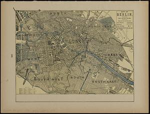
City of Berlin
208.
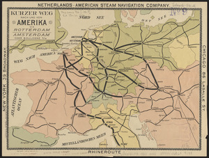
Kurzer weg nach und von Amerika via Rotterdam, Amsterdam oder Boulogne s/M
209.
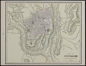
Map of Jerusalem : reduced from the Ordnance Survey ; Smyrna ; the Maltese Islands
210.
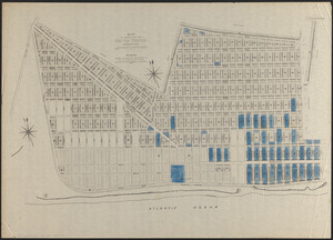
Map of property of the Surf Side Syndicate, Nantucket, Mass.
211.
W.H. Smith & Son's new railway map of the British Isles
212.
Columbia lays aside her laurels to mourn at the burning of her birth-place
213.
Carta universal en que se contiene todo lo que del mundo se ha descubierto fasta agora
214.
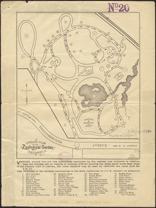
Ground plan of the Zoological Garden of Cincinnati, O
215.
Map of Forest Park, showing [St. Louis]
216.
A map of the country adjacent to the north boundary line of the colony of Rhode Island as the same was run by commissioners...
217.
[New York City, from the Battery to 63rd street]
218.
Plan of estate of the Boston Land Co. and surroundings
219.
Plan of Lincoln Park, Chicago : area 250 acres
220.
Plan of property of the National Dock & Warehouse Co. East Boston
‹ Prev
Next ›
1
2
…
7
8
9
10
11
12
13
14
15


![Map of Forest Park, showing [St. Louis]](https://bpldcassets.blob.core.windows.net/derivatives/images/commonwealth:4m90fb114/image_thumbnail_300.jpg)

![[New York City, from the Battery to 63rd street]](https://bpldcassets.blob.core.windows.net/derivatives/images/commonwealth:4m90f274r/image_thumbnail_300.jpg)