Toggle navigation
LMEC Home
Exhibitions
Georeferencing
Tools for Teachers
Collections
My Favorites
Sign Up / Log In
Search
Search the map portal
Map Collection
Map Collection
Map Sets
Search
Search
Search for
Search In
All Fields
Creator
Title
Subject
Place
Search All Digital Collections
Advanced Search
237 Results
My Search
Start Over
1870
Remove constraint 1870
Filter your Search
Place
North and Central America
132
United States
114
Europe
85
Massachusetts
59
Boston
39
Germany
39
Suffolk (county)
39
France
34
more
Place
»
Topic
Franco-Prussian War, 1870-1871--Maps
33
Germany--Maps
25
Boston (Mass.)--Maps
21
Europe--Maps
17
France--Maps
17
Real property--Massachusetts--Boston--Maps
11
Land tenure--Massachusetts--Boston--Maps
8
Franco-Prussian War, 1870-1871--Aerial views
7
more
Topic
»
Date
Date range begin
–
Date range end
Current results range from
1783
to
1952
View distribution
Creator
United States. Hydrographic Office
13
Beers, F. W. (Frederick W.)
12
Hellfarth, C.
9
Justus Perthes (Firm : Gotha, Germany)
9
Petermann, A. (August), 1822-1878
8
Shurcliff, Arthur A. (Arthur Asahel), 1870-1957
8
G.W. Bacon & Co.
7
Anderson, Alexander, 1775-1870
6
more
Creator
»
Format
Maps/Atlases
233
Books
3
Manuscripts
3
Prints
2
Documents
1
Objects/Artifacts
1
Georeferenced
Yes
19
No
218
Collection
Norman B. Leventhal Map & Education Center Collection
222
Urban Maps
66
Boston and New England Maps
58
Maritime Charts and Atlases
21
American Revolutionary War-Era Maps
8
American Antiquarian Society Collection
5
Mapping Boston Collection
4
Massachusetts Real Estate Atlases
3
more
Collection
»
Available to use
No known restrictions
219
Creative Commons license
5
Search Constraints
Sort by relevance
relevance
title
date (asc)
date (desc)
Number of results to display per page
20 per page
10
per page
20
per page
50
per page
100
per page
View results as:
grid view
map view
Search Results
201.
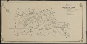
Heathcote Farm
202.
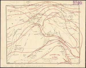
Isothermal lines of Alaska
203.
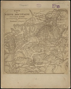
Karte der White Mountains (Weissen Berge) zur übersicht der höhenmessungen
204.
[Map of a part of Boston]
205.
Map of Boston : showing health districts and undrained and filled land
206.
Map of California Pacific Railroad : showing its relative position to other railroads
207.
Map of the Monongahela River from Pittsburgh to Brownsville showing the location of coal works
208.
Nuova pianta di Venezia = Neuer plan von Venedig
209.
Parkersburg, West Va
210.
Pascoe's London and its environs, drawn from the latest surveys
211.
Plan af Stockholm
212.
Plan of Humboldt, Humboldt County, Iowa
213.
Plan of land in Sharon belonging to the Massapoag Lake Company
214.
Plan of Sherburne Bluffs, Nantucket, Mass
215.
A topographical map of the White Mountains, of New Hampshire
216.
A topographicall description and admeasurement of the yland of Barbados in the West Indyaes : with the mrs. names of the...
217.
Topographische karte der gegend um Berlin
218.
Yosemite Valley
219.
Map of Boston : showing health districts and undrained and filled land
220.
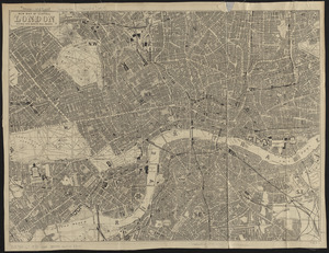
New map of central London divided into quarter mile squares
‹ Prev
Next ›
1
2
…
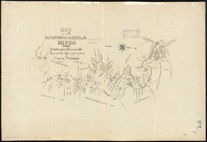
7
8
9
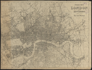
10
11
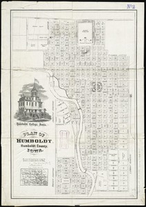
12
![[Map of a part of Boston]](https://bpldcassets.blob.core.windows.net/derivatives/images/commonwealth:9s161h10b/image_thumbnail_300.jpg)