Toggle navigation
LMEC Home
Exhibitions
Georeferencing
Tools for Teachers
Collections
My Favorites
Sign Up / Log In
Search
Search the map portal
Map Collection
Map Collection
Map Sets
Search
Search
Search for
Search In
All Fields
Creator
Title
Subject
Place
Search All Digital Collections
Advanced Search
975 Results
My Search
Start Over
More Like
commonwealth-oai:j96060056
Remove constraint More Like: commonwealth-oai:j96060056
Filter your Search
Place
North and Central America
949
United States
683
Canada
205
New York
197
Quebec
111
Rhode Island
79
Massachusetts
71
Pennsylvania
61
more
Place
»
Topic
United States--History--Revolution, 1775-1783--Maps
305
United States--History--French and Indian War, 1754-1763--Maps
149
Rhode Island--Maps
49
Saint Lawrence River--Maps
43
Connecticut--Maps
40
Massachusetts--Maps
38
New York (State)--Maps
27
Newport (R.I.)--Maps
27
more
Topic
»
Date
Date range begin
–
Date range end
Current results range from
1700
to
1990
View distribution
Creator
Rocque, Mary Ann
29
Holland, Samuel, 1728-1801
25
Montrésor, John, 1736-1799
25
Bellin, Jacques Nicolas, 1703-1772
24
Jefferys, Thomas, -1771
24
Clinton, Henry, Sir, 1738?-1795
19
Robert Sayer and John Bennett (Firm)
15
Hills, John, active 1777-1819
13
more
Creator
»
Format
Maps/Atlases
959
Drawings/Illustrations
11
Documents
5
Manuscripts
1
Prints
1
Georeferenced
Yes
19
No
956
Collection
American Revolutionary War-Era Maps
917
William L. Clements Library Collection
909
Norman B. Leventhal Map & Education Center Collection
59
Boston and New England Maps
45
American Antiquarian Society Collection
5
David Judkins Weaver Papers
5
Sidney R. Knafel Map Collection at Phillips Academy
2
Mapping Boston Collection
1
more
Collection
»
Available to use
No known restrictions
58
Creative Commons license
1
Search Constraints
Sort by relevance
relevance
title
date (asc)
date (desc)
Number of results to display per page
20 per page
10
per page
20
per page
50
per page
100
per page
View results as:
grid view
map view
Search Results
161.
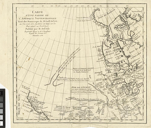
Carte d'une partie de l'Amérique Septentrionale tirée des manuscripts de M. Guill. De l'Isle ou l'on voit son systeme en 1695...
162.
Carte geo-hydrographique du Golfe du Mexique et de ces isles : construit d'après les mémoires les plus recens, et assujeties...
163.
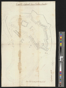
Castle Island in Boston Harbor
164.
The Cedres
165.
Channels around the Island of Orleans
166.
Charles Town, South Carolina, with a chart of the bars & harbour
167.
Charleston and its approaches from the sea
168.
Charleston and the British attack of June 1776
169.
Charlestown, Breed's Hill, and Bunker Hill
170.
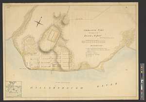
Charlotte Town the capital of the island of St. John
171.
Chart of the coast of Honduras and Nicaragua
172.
Chart of the east coast of the Yucatan
173.
A chart of the harbour of Rhode Island and Narraganset Bay surveyed in pursuance of directions from the Lords of Trade to His...
174.
A chart of the harbour of Rhode Island and Narraganset Bay surveyed in pursuance of directions from the Lords of Trade to his...
175.
A chart of the harbour of Rhode Island and Narraganset Bay surveyed in pursuance of directions from the Lords of Trade to his...
176.
A chart of the peninsula of Nova Scotia
177.
A chart of Tibee Inlet in Georgia
178.
A chart shewing the tract of Capt. Cook's last voyage, 1799
179.
A chorographical map of the country round Philadelphia = Carte particuliere des environs de Philadelphia
180.
A chorographical map of the northern department of North-America : drawn from the latest and most accurate observations
‹ Prev
Next ›
1
2
…
5
6
7
8
9
10
11
12
13
…
48
49