Toggle navigation
LMEC Home
Exhibitions
Georeferencing
Tools for Teachers
Collections
My Favorites
Sign Up / Log In
Search
Search the map portal
Map Collection
Map Collection
Map Sets
Search
Search
Search for
Search In
All Fields
Creator
Title
Subject
Place
Search All Digital Collections
Advanced Search
1652 Results
My Search
Start Over
More Like
commonwealth-oai:hm50zr247
Remove constraint More Like: commonwealth-oai:hm50zr247
Filter your Search
Place
North and Central America
1,625
United States
1,363
Suffolk (county)
755
Boston
748
Massachusetts
664
Canada
205
New York
195
Quebec
111
more
Place
»
Topic
Boston (Mass.)--Maps
752
United States--History--Revolution, 1775-1783--Maps
307
United States--History--French and Indian War, 1754-1763--Maps
149
City planning--Massachusetts--Boston--Maps
104
Real property--Massachusetts--Boston--Maps
99
Landowners--Massachusetts--Boston--Maps
74
Urban renewal--Massachusetts--Boston--Maps
63
Massachusetts--Maps
54
more
Topic
»
Date
Date range begin
–
Date range end
Current results range from
1700
to
2023
View distribution
Creator
Boston Redevelopment Authority
114
Rocque, Mary Ann
29
Geo. H. Walker & Co
27
Holland, Samuel, 1728-1801
25
Montrésor, John, 1736-1799
25
Bellin, Jacques Nicolas, 1703-1772
24
Jefferys, Thomas, -1771
24
Boynton, George W., d. 1884
21
more
Creator
»
Format
Maps/Atlases
1,636
Drawings/Illustrations
11
Manuscripts
9
Documents
5
Prints
1
Georeferenced
Yes
96
No
1,556
Collection
American Revolutionary War-Era Maps
924
William L. Clements Library Collection
909
Norman B. Leventhal Map & Education Center Collection
615
Boston and New England Maps
579
Urban Maps
490
Boston Redevelopment Authority Collection
120
Mapping Boston Collection
20
Massachusetts Real Estate Atlases
12
more
Collection
»
Available to use
No known restrictions
686
Creative Commons license
34
Search Constraints
Sort by relevance
relevance
title
date (asc)
date (desc)
Number of results to display per page
20 per page
10
per page
20
per page
50
per page
100
per page
View results as:
grid view
map view
Search Results
901.
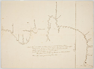
An east view of Fort [Franklin] on French Creek
902.
Eastern section of the United States
903.
Ensign Nathan Mc:Dowell's draft of the water of big Beaver &c to Lake Erie
904.
Etats Unis de l'Amerique
905.
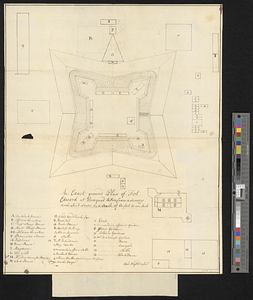
An exact ground plan of Fort Edward at Pesaquid taken from a survey and laid down by a scale of 60 feet to one inch
906.
An exact map of Nova Scotia, Newfoundland, gulf and river St. Laurence, and coast of Labrador from the latest observations 1777
907.
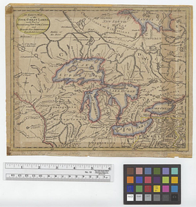
An exact map of the five Great Lakes, with part of Pensilvania, New York, Canada and Hudsons Bay territories from the best surveys
908.
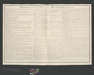
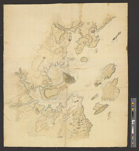
Explanation of the references
909.
Falmouth, Maine
910.
Flatbush
911.
La Floride divisée en Floride et Caroline
912.
Flynt Jenkins sold to Taylor Foster &c plans 1778
913.
Fort Bedford
914.
Fort Edward to Ticonderoga
915.
Fort Germain and neighboring posts
916.
Fort Halifax and the Kennebec River : Québec July 25th, 1761
917.
Fort Harmar at the Ohio and Muskingum Rivers, ca. 1786
918.
Fort Independence to Slaughter's Landing
919.
Fort Lafayette and Verplank Point
920.
Fort Lee
‹ Prev
Next ›
1
2
…
42
43
44
45
46
47
48
49
50
…
82
83
![An east view of Fort [Franklin] on French Creek](https://bpldcassets.blob.core.windows.net/derivatives/metadata/commonwealth-oai:dj5314216/image_thumbnail_300.jpg)