Toggle navigation
LMEC Home
Exhibitions
Georeferencing
Tools for Teachers
Collections
My Favorites
Sign Up / Log In
Search
Search the map portal
Map Collection
Map Collection
Map Sets
Search
Search
Search for
Search In
All Fields
Creator
Title
Subject
Place
Search All Digital Collections
Advanced Search
1716 Results
My Search
Start Over
More Like
commonwealth-oai:bg25cd491
Remove constraint More Like: commonwealth-oai:bg25cd491
Filter your Search
Place
North and Central America
1,687
United States
1,425
Suffolk (county)
764
Boston
756
Massachusetts
717
Canada
205
New York
195
Quebec
111
more
Place
»
Topic
Boston (Mass.)--Maps
752
United States--History--Revolution, 1775-1783--Maps
330
United States--History--French and Indian War, 1754-1763--Maps
149
City planning--Massachusetts--Boston--Maps
105
Real property--Massachusetts--Boston--Maps
99
Landowners--Massachusetts--Boston--Maps
74
Boston Harbor (Mass.)--Maps
67
Urban renewal--Massachusetts--Boston--Maps
63
more
Topic
»
Date
Date range begin
–
Date range end
Current results range from
1700
to
2023
View distribution
Creator
Boston Redevelopment Authority
114
Rocque, Mary Ann
29
Geo. H. Walker & Co
28
Holland, Samuel, 1728-1801
25
Jefferys, Thomas, -1771
25
Montrésor, John, 1736-1799
25
Bellin, Jacques Nicolas, 1703-1772
24
Boynton, George W., d. 1884
21
more
Creator
»
Format
Maps/Atlases
1,700
Manuscripts
13
Drawings/Illustrations
11
Documents
5
Posters
1
Prints
1
Georeferenced
Yes
101
No
1,615
Collection
American Revolutionary War-Era Maps
942
William L. Clements Library Collection
909
Norman B. Leventhal Map & Education Center Collection
662
Boston and New England Maps
622
Urban Maps
493
Boston Redevelopment Authority Collection
121
Mapping Boston Collection
27
Maps from AAS
14
more
Collection
»
Available to use
No known restrictions
729
Creative Commons license
45
Search Constraints
Sort by relevance
relevance
title
date (asc)
date (desc)
Number of results to display per page
20 per page
10
per page
20
per page
50
per page
100
per page
View results as:
grid view
map view
Search Results
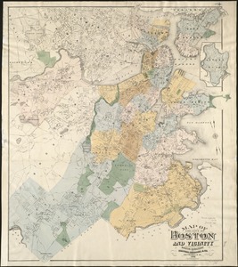
761.
Map of the city of Boston and vicinity
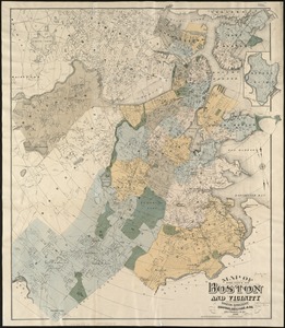
762.
Map of the city of Boston and vicinity
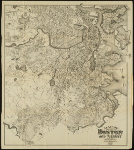
763.
Map of the city of Boston and vicinity
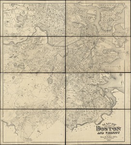
764.
Map of the city of Boston and vicinity
765.
Map of the city of Boston, for 1890
766.
Map of the city of Boston, for 1891
767.
Map of the city of Boston, for 1892
768.
Map of the city of Boston, for 1893
769.
Map of the city of Boston, for 1894
770.
A map of the city of Boston in Massachusetts
771.
Map of the City of Boston, Massachusetts
772.
Map of the city of Boston Massachusetts
773.
Map of the city of Boston, Massts., 1852
774.
A map of the coast of New England from Staten Island to the island of Breton
775.
[Map of the end of Boston Wharf from which restrictions are to be taken off]
776.
Map of the existing and proposed circumferential thoroughfares of the district
777.
Map of the existing and proposed radial thoroughfares of the district and their connections
778.
Map of the metropolitan district of Boston, Massachusetts : showing the existing public reservations and such new open spaces...
779.
Map of the metropolitan district of Boston, Massachusetts : showing local public reservations and holdings of the Metropolitan...
780.
Map of the Metropolitan District of Boston showing local public reservations and holdings of the Metropolitan District...
‹ Prev
Next ›
1
2
…
35
36
37
38
39
40
41
42
43
…
85
86


![[Map of the end of Boston Wharf from which restrictions are to be taken off]](https://bpldcassets.blob.core.windows.net/derivatives/images/commonwealth:9s161d66k/image_thumbnail_300.jpg)


