Toggle navigation
LMEC Home
Exhibitions
Georeferencing
Tools for Teachers
Collections
My Favorites
Sign Up / Log In
Search
Search the map portal
Map Collection
Map Collection
Map Sets
Search
Search
Search for
Search In
All Fields
Creator
Title
Subject
Place
Search All Digital Collections
Advanced Search
967 Results
My Search
Start Over
More Like
commonwealth-oai:7h14fn780
Remove constraint More Like: commonwealth-oai:7h14fn780
Filter your Search
Place
North and Central America
941
United States
677
New York
247
Canada
208
Quebec
112
Pennsylvania
69
New Jersey
61
Nova Scotia
48
more
Place
»
Topic
United States--History--Revolution, 1775-1783--Maps
305
United States--History--French and Indian War, 1754-1763--Maps
150
New York (State)--Maps
81
Saint Lawrence River--Maps
43
Newport (R.I.)--Maps
27
Pennsylvania--Maps
27
Hudson River (N.Y. and N.J.)--Maps
23
New England--Maps
21
more
Topic
»
Date
Date range begin
–
Date range end
Current results range from
1700
to
1976
View distribution
Creator
Rocque, Mary Ann
29
Holland, Samuel, 1728-1801
26
Bellin, Jacques Nicolas, 1703-1772
25
Montrésor, John, 1736-1799
25
Jefferys, Thomas, -1771
24
Clinton, Henry, Sir, 1738?-1795
19
Robert Sayer and John Bennett (Firm)
15
Hills, John, active 1777-1819
13
more
Creator
»
Format
Maps/Atlases
951
Drawings/Illustrations
11
Documents
5
Manuscripts
2
Prints
1
Georeferenced
Yes
7
No
960
Collection
American Revolutionary War-Era Maps
921
William L. Clements Library Collection
909
Norman B. Leventhal Map & Education Center Collection
47
Boston and New England Maps
13
American Antiquarian Society Collection
9
Massachusetts Historical Society Map Collection
1
New-York Historical Society Collection
1
Available to use
No known restrictions
48
Creative Commons license
1
Search Constraints
Sort by relevance
relevance
title
date (asc)
date (desc)
Number of results to display per page
20 per page
10
per page
20
per page
50
per page
100
per page
View results as:
grid view
map view
Search Results
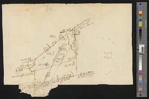
381.
Mr. Clarke's lot, Batavia
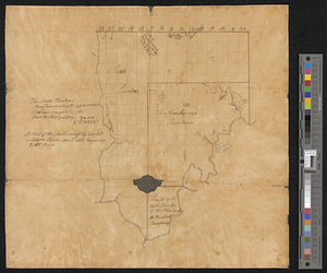
382.
Mr. Mathew's draft of the Scioto & Ohio Companies purchase
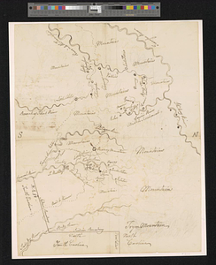
383.
Mr. Wilkinsons plat of ye Cherekee country
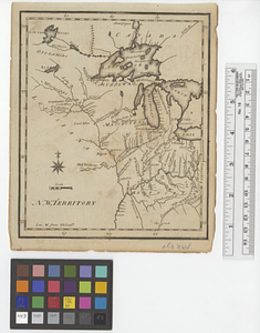
384.
N. W. Territory
385.
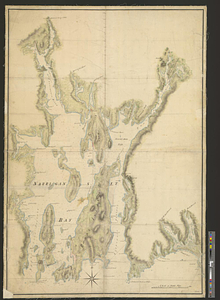
Narragansett Bay and Rhode Island
386.
Narragansett Bay and the surrounding shores
387.
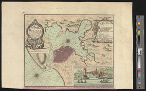
Neu und verbesseter plan der st. u. hafens Havanah auf der ins. Cvba mit den wasser tiefen, sand, baencken und klippen...
388.
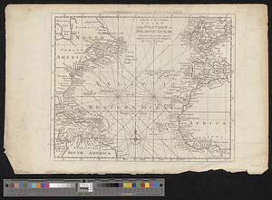
A new & accurate chart of the western or Atlantic Ocean : drawn from the most approved modern map &c.
389.
A new and accurate chart of the harbour of Boston, in New England, in North America
390.
A new and accurate map of Connecticut and Rhode Island from the best authorities
391.
A new and accurate map of New Jersey, from the best authorities
392.
A new and accurate map of North America laid down according to the latest and most approved observations, and discoveries
393.
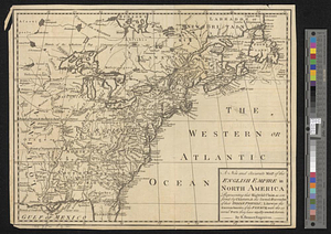
A new and accurate map of the English empire in North America : representing their rightful claim as confirm'd by charters, &...
394.
A new and accurate map of the English empire in North America : representing their rightful claim as confirm'd by charters, and...
395.
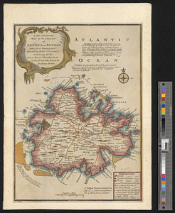
A new and accurate map of the island of Antigua or Antego, taken from surveys and adjusted by astronl. observations, containing...
396.
A new and accurate map of the present war in North America
397.
A new and accurate map of the province of Nova Scotia, in North America; from the latest observations
398.
A new and correct map of the American islands, now called the West Indies, with the whole coast of the neighbouring continent
399.
A new and correct plan of the town of Boston
400.
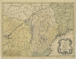
A new map of Canada, also the north parts of New England and New York; with Nova Scotia and Newfound Land
‹ Prev
Next ›
1
2
…
16
17
18
19
20
21
22
23
24
…
48
49