Toggle navigation
LMEC Home
Exhibitions
Georeferencing
Tools for Teachers
Collections
My Favorites
Sign Up / Log In
Search
Search the map portal
Map Collection
Map Collection
Map Sets
Search
Search
Search for
Search In
All Fields
Creator
Title
Subject
Place
Search All Digital Collections
Advanced Search
957 Results
My Search
Start Over
More Like
commonwealth-oai:66832281t
Remove constraint More Like: commonwealth-oai:66832281t
Filter your Search
Place
North and Central America
931
United States
663
Canada
205
New York
192
Quebec
111
Pennsylvania
60
New Jersey
54
South Carolina
50
more
Place
»
Topic
United States--History--Revolution, 1775-1783--Maps
305
United States--History--French and Indian War, 1754-1763--Maps
149
Saint Lawrence River--Maps
43
North Carolina--Maps
30
Newport (R.I.)--Maps
27
New York (State)--Maps
24
Georgia--Maps
23
Hudson River (N.Y. and N.J.)--Maps
21
more
Topic
»
Date
Date range begin
–
Date range end
Current results range from
1700
to
1987
View distribution
Creator
Rocque, Mary Ann
29
Bellin, Jacques Nicolas, 1703-1772
25
Holland, Samuel, 1728-1801
25
Montrésor, John, 1736-1799
25
Jefferys, Thomas, -1771
24
Clinton, Henry, Sir, 1738?-1795
19
Robert Sayer and John Bennett (Firm)
15
Hills, John, active 1777-1819
13
more
Creator
»
Format
Maps/Atlases
941
Drawings/Illustrations
11
Documents
5
Prints
1
Georeferenced
Yes
6
No
951
Collection
American Revolutionary War-Era Maps
921
William L. Clements Library Collection
909
Norman B. Leventhal Map & Education Center Collection
38
American Antiquarian Society Collection
9
Applied Geographics, Inc. Records
1
MacLean Collection Map Library
1
Available to use
No known restrictions
38
Search Constraints
Sort by relevance
relevance
title
date (asc)
date (desc)
Number of results to display per page
20 per page
10
per page
20
per page
50
per page
100
per page
View results as:
grid view
map view
Search Results
21.
South Carolina
22.
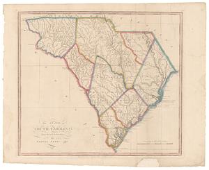
The State of South Carolina: : from the best authorities. 1796
23.
The state of South Carolina : from the best authorities
24.
The state of South Carolina: from the best authorities
25.
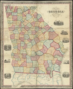
Georgia from the latest authorities
26.
Georgia, from the latest authorities
27.
Map of northern Georgia
28.
Map of the state of Georgia
29.
Mississippi Territory and Georgia
30.
A New map of the Cherokee nation : with the names of the towns & rivers they are situated on No. lat from 34 to 36
31.
Northern Alabama and Georgia
32.
Northern Georgia with portions of adjacent states
33.
Northwestern Georgia : (with portions of the adjoining states of Tennessee and Alabama) being part of the Department of the...
34.
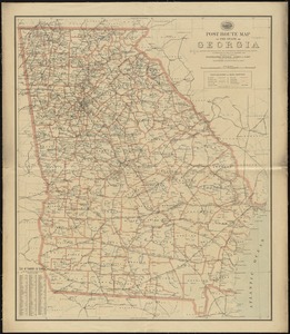
Post route map of the State of Georgia showing post offices with the intermediate distances and mail routes in operation on the...
35.
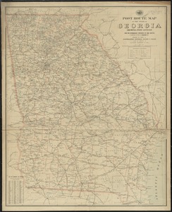
Post route map of the state of Georgia showing post offices with the intermediate distances on mail routes in operation on the...
36.
Post route map of the state of Georgia showing post offices with the intermediate distances on mail routes in operation on the...
37.
Coast of North Carolina & Virginia
38.
Colton's new topographical map of the eastern portion of the State of North Carolina with part of Virginia & South Carolina...
39.
Colton's new topographical map of the eastern portion of the State of North Carolina with part of Virginia & South Carolina...
40.
Colton's North Carolina
‹ Prev
Next ›
1
2
3
4
5
6
…
47
48