Toggle navigation
LMEC Home
Exhibitions
Georeferencing
Tools for Teachers
Collections
My Favorites
Sign Up / Log In
Search
Search the map portal
Map Collection
Map Collection
Map Sets
Search
Search
Search for
Search In
All Fields
Creator
Title
Subject
Place
Search All Digital Collections
Advanced Search
8743 Results
My Search
Start Over
More Like
commonwealth:zc77wd39k
Remove constraint More Like: commonwealth:zc77wd39k
Filter your Search
Place
North and Central America
5,971
United States
4,891
Massachusetts
2,079
Europe
1,396
Suffolk (county)
1,046
Boston
1,019
Canada
463
Asia
438
more
Place
»
Topic
Boston (Mass.)--Maps
586
United States--Maps
330
Real property--Massachusetts--Boston--Maps
175
Massachusetts--Maps
162
Landowners--Massachusetts--Boston--Maps
133
North America--Maps--Early works to 1800
103
New England--Maps
102
Europe--Maps
79
more
Topic
»
Date
Date range begin
–
Date range end
Current results range from
1482
to
2023
View distribution
Creator
United States. Hydrographic Office
595
O.H. Bailey & Co
148
Des Barres, Joseph F. W. (Joseph Frederick Wallet), 1722-1824
123
United States. Post Office Dept
120
Ptolemy, 2nd cent
100
Walling, Henry Francis, 1825-1888
94
Geological Survey (U.S.)
87
Jefferys, Thomas, -1771
85
more
Creator
»
Format
Maps/Atlases
8,683
Manuscripts
215
Prints
56
Books
36
Objects/Artifacts
10
Drawings/Illustrations
8
Posters
5
Georeferenced
Yes
871
No
7,872
Collection
Norman B. Leventhal Map & Education Center Collection
8,700
Boston and New England Maps
2,233
Urban Maps
2,023
Maritime Charts and Atlases
1,083
American Revolutionary War-Era Maps
657
Boston Redevelopment Authority Collection
87
Maps from AAS
20
William L. Clements Library Collection
13
more
Collection
»
Available to use
No known restrictions
8,556
Creative Commons license
50
Search Constraints
Sort by relevance
relevance
title
date (asc)
date (desc)
Number of results to display per page
20 per page
10
per page
20
per page
50
per page
100
per page
View results as:
grid view
map view
Search Results
5041.
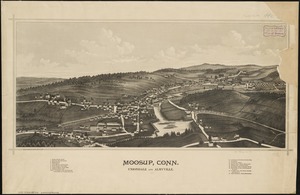
Moosup, Conn., Uniondale and Almyville
5042.
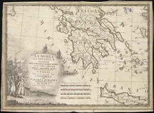
La Morea, la Livadia, e porzione della Tessaglia, e Dell' Epiro con la parte occidentale dell' arcipelago : V. Foglio della...
5043.
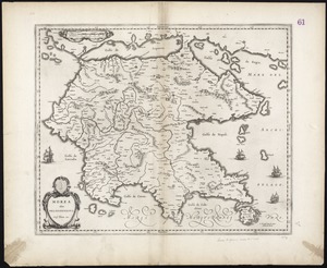
Morea olim Peloponnesus
5044.
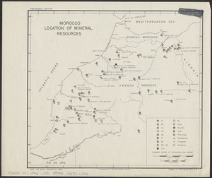
Morocco, location of mineral resources
5045.
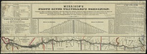
Morrison's North River traveller's companion : containing a map of the Hudson River, with a description of the adjoining...
5046.
Morrisville, Bucks County, Pennsylvania, 1893
5047.
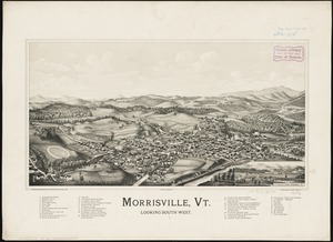
Morrisville, Vt : looking southwest
5048.
Most popular mode of commuting : 2014-2018 American Community Survey
5049.
Motor routes that intersect the Bay Circuit
5050.
Mount Auburn, avenues and paths
5051.
Mount Desert Island and neighboring coast of Maine
5052.
Mount Desert Island and neighboring coast of Maine
5053.
Mount Hope Bridge, Bristol, Rhode Island
5054.
Mountain region of North Carolina and Tennessee
5055.
Mountain region of North Carolina and Tennessee
5056.
Mountain region of North Carolina and Tennessee
5057.
Mountain roads of Switzerland, north Italy and the Austrian Tyrol : open & closed to automobiles
5058.
Mouth of the Teen-tsin-ho or Pei-ho and approach to the Sha-lui-tien banks
5059.
Mouth of the Teen-tsin-ho or Pei-ho and approach to the Sha-lui-tien banks
5060.
Mt. Carmel : Pennsylvania
‹ Prev
Next ›
1
2
…
249
250
251
252
253
254
255
256
257
…
437
438