Toggle navigation
LMEC Home
Exhibitions
Georeferencing
Tools for Teachers
Collections
My Favorites
Sign Up / Log In
Search
Search the map portal
Map Collection
Map Collection
Map Sets
Search
Search
Search for
Search In
All Fields
Creator
Title
Subject
Place
Search All Digital Collections
Advanced Search
521 Results
My Search
Start Over
More Like
commonwealth:z603vs00v
Remove constraint More Like: commonwealth:z603vs00v
Filter your Search
Place
North and Central America
417
North America
237
United States
195
Canada
44
New York
34
Suffolk (county)
31
Boston
29
New England
15
more
Place
»
Topic
North America--Maps--Early works to 1800
240
Great Britain--Colonies--America--Maps--Early works to 1800
22
United States--Maps--Early works to 1800
22
Boston (Mass.)--History--Revolution, 1775-1783--Maps--Early works to 1800
16
Canada--Maps--Early works to 1800
15
United States--History--French and Indian War, 1754-1763--Maps--Early works to 1800
12
New England--Maps--Early works to 1800
11
British--America--Maps--Early works to 1800
10
more
Topic
»
Date
Date range begin
–
Date range end
Current results range from
1528
to
1850
View distribution
Creator
Jefferys, Thomas, -1771
41
Faden, William, 1749-1836
35
Sayer, Robert, 1725-1794
32
Le Rouge, Georges-Louis
28
Des Barres, Joseph F. W. (Joseph Frederick Wallet), 1722-1824
21
Mitchell, John, 1711-1768
19
Gibson, J. (John), active 1750-1792
14
Robert Sayer and John Bennett (Firm)
14
more
Creator
»
Format
Maps/Atlases
478
Prints
32
Manuscripts
25
Drawings/Illustrations
9
Books
2
Georeferenced
Yes
16
No
505
Collection
American Revolutionary War-Era Maps
455
Richard H. Brown Revolutionary War Map Collection at Mount Vernon
293
Norman B. Leventhal Map & Education Center Collection
116
MacLean Collection Map Library
59
New York Public Library Collection
34
Mapping Boston Collection
10
Sidney R. Knafel Map Collection at Phillips Academy
8
Boston and New England Maps
6
more
Collection
»
Available to use
Creative Commons license
341
No known restrictions
110
Search Constraints
Sort by relevance
relevance
title
date (asc)
date (desc)
Number of results to display per page
20 per page
10
per page
20
per page
50
per page
100
per page
View results as:
grid view
map view
Search Results
401.
A plan of Boston, and its environs : shewing the true situation of His Majesty's army, and also those of the rebels
402.
A plan of Boston in New England with its environs : including Milton, Dorchester, Roxbury, Brooklin, Cambridge, Medford,...
403.
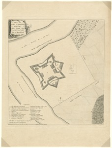
Plan of Fort le Quesne, built by the French at the fork of the Ohio and Monongahela in 1754
404.
A plan of Fort Montgomery & Fort Clinton, taken by His Majesty's forces, under the command of Maj. Genl. Sir Henry Clinton, K:B
405.
A plan of New York Island, and part of Long Island, with the circumjacent country, as far as Dobbs's Ferry to the north, and...
406.
A plan of New York Island, with part of Long Island, Staten Island & east New Jersey, with a particular description of the...
407.
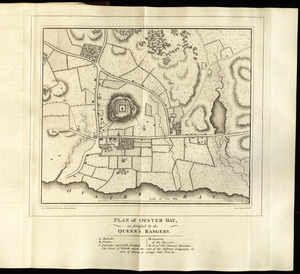
Plan of Oyster Bay, as fortified by the Queen's Rangers
408.
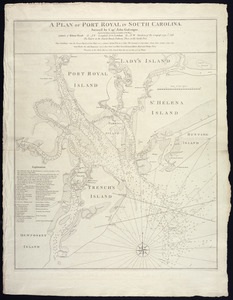
A plan of Port Royal in South Carolina
409.
A plan of the action at Bunkers Hill, on the 17th. of June, 1775 : between His Majesty's troops under the command of Major...
410.
Plan of the action at Huberton under Brigadier Genl. Frazer, supported by Major Genl. Reidesel, on the 7th July 1777
411.
A plan of the attack of Fort Sulivan, near Charles Town in South Carolina : by a squadron of His Majesty's ships, on the 28th...
412.
Plan of the attack of the Forts Clinton & Montgomery, upon Hudsons River which were stormed by His Majestys forces under the...
413.
Plan of the battle near Bushy-Run gained by His Majesty's troops commanded by Colonel Henry Bouquet over the Delawares,...
414.
Plan of the battle, on Bunker's Hill : fought on the 17th of June 1775
415.
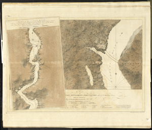
[Plan of the battles of Saratoga]
416.
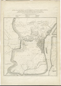
A plan of the city and environs of Philadelphia : with the works and encampments of His Majesty's forces under the command of...
417.
A plan of the city and environs of Philadelphia
418.
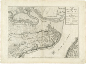
Plan of the city and environs of Quebec, with its siege and blockade by the Americans, from the 8th of December 1775 to the...
419.
A plan of the city of New-York & its environs to Greenwich, on the North or Hudsons River, and to Crown Point, on the East or...
420.
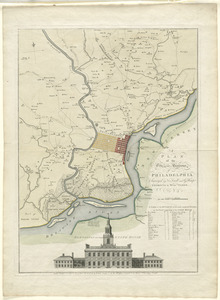
A plan of the city of Philadelphia, the capital of Pennsylvania, from an actual survey
‹ Prev
Next ›
1
2
…
17
18
19
20
21
22
23
24
25
26
27


![[Plan of the battles of Saratoga]](https://bpldcassets.blob.core.windows.net/derivatives/images/commonwealth:z603vw07d/image_thumbnail_300.jpg)
![A plan of the city of New-York & its environs to Greenwich, on the North or Hudsons River, and to Crown Point, on the East or Sound River, shewing the several streets, publick buildings, docks, fort & battery, with the true form & course of the commanding grounds, with and without the town : survey'd in the winter, 1775 [i.e. 1766]](https://bpldcassets.blob.core.windows.net/derivatives/images/commonwealth:z603vs09b/image_thumbnail_300.jpg)
