Toggle navigation
LMEC Home
Exhibitions
Georeferencing
Tools for Teachers
Collections
My Favorites
Sign Up / Log In
Search
Search the map portal
Map Collection
Map Collection
Map Sets
Search
Search
Search for
Search In
All Fields
Creator
Title
Subject
Place
Search All Digital Collections
Advanced Search
115 Results
My Search
Start Over
More Like
commonwealth:z603vq58v
Remove constraint More Like: commonwealth:z603vq58v
Filter your Search
Place
North and Central America
69
United States
60
North America
35
Philadelphia
30
Philadelphia (county)
30
Pennsylvania
19
New Jersey
9
Delaware (county)
7
more
Place
»
Topic
North America--Maps--Early works to 1800
27
Philadelphia (Pa.)--Maps--Early works to 1800
21
United States--Maps--Early works to 1800
14
Great Britain--Colonies--America--Maps--Early works to 1800
9
Pennsylvania--Maps--Early works to 1800
9
Brandywine, Battle of, Pa., 1777--Maps--Early works to 1800
7
New Jersey--Maps--Early works to 1800
7
North America--Maps
7
more
Topic
»
Date
Date range begin
–
Date range end
Current results range from
1689
to
1899
View distribution
Creator
Faden, William, 1749-1836
10
Kitchin, Thomas, 1719-1784
6
Gibson, J. (John), active 1750-1792
5
Hinton, John, -1781
5
Lodge, John, -1796
5
Russell, John, active 1733-1795
5
Scull, Nicholas, 1686?-1761?
5
Anville, Jean Baptiste Bourguignon d', 1697-1782
4
more
Creator
»
Format
Maps/Atlases
115
Manuscripts
11
Georeferenced
Yes
8
No
107
Collection
American Revolutionary War-Era Maps
113
New York Public Library Collection
78
Library of Congress Collection
12
Richard H. Brown Revolutionary War Map Collection at Mount Vernon
11
Norman B. Leventhal Map & Education Center Collection
9
Urban Maps
5
MacLean Collection Map Library
4
British Library Collection
1
more
Collection
»
Available to use
Creative Commons license
102
No known restrictions
9
Search Constraints
Sort by relevance
relevance
title
date (asc)
date (desc)
Number of results to display per page
20 per page
10
per page
20
per page
50
per page
100
per page
View results as:
grid view
map view
Search Results
1.
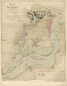
Plan of the city of Philadelphia and its environs shewing its defences during the years 1777 & 1778 : together with the siege...
2.
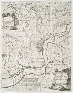
A map of Philadelphia and parts adjacent
3.
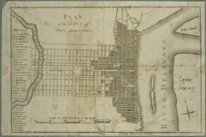
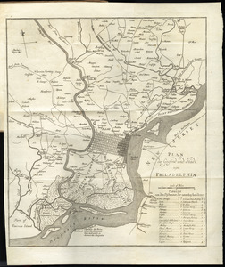
Plan of the city of Philadelphia
4.
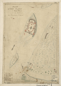
Plan of Fort Mifflin on Mud Island, with the batteries on Province Island
5.
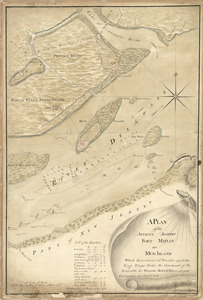
A plan of the attacks against Fort Miflin on Mud Island : which surrendered 16th, November 1777 to the Kings troops under the...
6.
A survey of the city of Philadelphia and its environs : shewing the several works constructed by His Majesty's troops, under...
7.
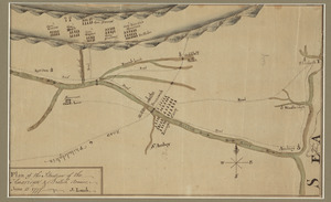
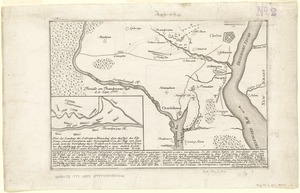
Affair at Quintin's Bridge : 18th March 1778
8.
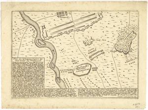
Plan des befestigten lagers der Amerikaner bey Whitemarsh
9.
Plan of the situation of the American & British armies, June 15st 1777
10.
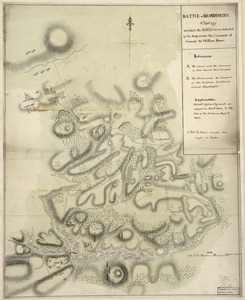
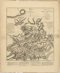
Battle of Brandywine : 11th Septr. 1777, in which the rebels were defeated by the army under the command of General Sir William...
11.
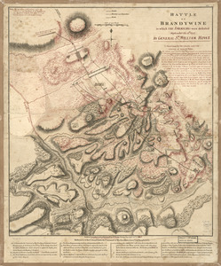
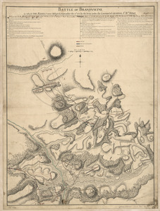
Battle of Brandywine in which the Americans were defeated : September the 11th, 1777 by General Sr. William Howe
12.
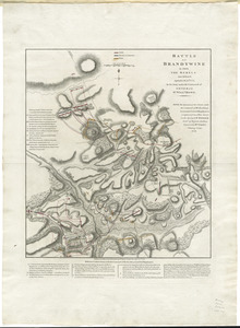
Battle of Brandywine in which the rebels were defeated : September the 11th. 1777, by the army under the command of General Sr....
13.
Battle of Brandywine, in which the rebels were defeated : September the 11th 1777, by the army under the command of General Sr....
14.
Battle of Brandywine in which the rebels were defeated, September the 11th. 1777, by the army under the command of General Sr....
15.
Battle of Brandywine in which the rebels were defeated, September the 11th. 1777, by the army under the command of General Sr....
16.
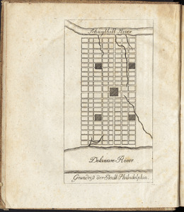
Grundriss der stadt Philadelphia
17.
A map of that part of Pennsylvania now the principal seat of war in America : wherein may be seen the situation of...
18.
A New and accurate map of the present seat of war in North America, comprehending New Jersey, Philadelphia, Pensylvania,...
19.
Plan der gegend und stadt von Philadelphia
20.
Plan der landung der Gebrüdere Howe, bey dem ausfluss des Elk Strom ...Lords Cornwallis
‹ Prev
Next ›
1
2
3
4
5
6