Toggle navigation
LMEC Home
Exhibitions
Georeferencing
Tools for Teachers
Collections
My Favorites
Sign Up / Log In
Search
Search the map portal
Map Collection
Map Collection
Map Sets
Search
Search
Search for
Search In
All Fields
Creator
Title
Subject
Place
Search All Digital Collections
Advanced Search
30 Results
My Search
Start Over
More Like
commonwealth:z603vq462
Remove constraint More Like: commonwealth:z603vq462
Filter your Search
Place
North and Central America
30
United States
29
New York
28
Manhattan
4
New Jersey
4
Canada
3
Crown Point
2
Essex (county)
2
more
Place
»
Topic
New York (N.Y.)--Maps--Early works to 1800
18
New York (State)--Maps--Early works to 1800
4
Harbors--New Jersey--Maps--Early works to 1800
3
Manhattan (New York, N.Y.)--Maps--Early works to 1800
3
New Jersey--Maps--Early works to 1800
3
New York (N.Y.)--Administrative and political divisions--Maps
3
New York Harbor (N.Y. and N.J.)--Maps--Early works to 1800
3
Northeastern States--Maps--Early works to 1800
3
more
Topic
»
Date
Date range begin
–
Date range end
Current results range from
1733
to
1845
View distribution
Creator
Montrésor, John, 1736-1799
5
Kitchin, Thomas, 1719-1784
4
Dury, Andrew
3
Ratzer, Bernard
3
Amherst, Jeffery Amherst, Baron, 1717-1797
2
Andrews, Peter, active 1765-1782
2
Bowles, John, 1701-1779
2
Canot, Pierre Charles, 1710-1777
2
more
Creator
»
Format
Maps/Atlases
30
Manuscripts
2
Georeferenced
No
30
Collection
American Revolutionary War-Era Maps
24
New York Public Library Collection
14
Norman B. Leventhal Map & Education Center Collection
6
Richard H. Brown Revolutionary War Map Collection at Mount Vernon
6
Urban Maps
6
Maritime Charts and Atlases
3
New-York Historical Society Collection
2
British Library Collection
1
more
Collection
»
Available to use
Creative Commons license
21
No known restrictions
8
Search Constraints
Sort by relevance
relevance
title
date (asc)
date (desc)
Number of results to display per page
20 per page
10
per page
20
per page
50
per page
100
per page
View results as:
grid view
map view
Search Results
21.
A map of the eastern part of the province of New York with part of New Jersey, & c
22.
A map of the eastern part of the province of New York with part of New Jersey, & c
23.
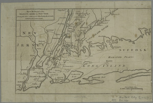
Map of the progress of His Majesty's armies in New York, during the late campaign : illustrating the accounts published in the...
24.
A map of the Province of New York, with part of Pensilvania, and New England : from an actual survey by Captain Montresor,...
25.
A map of the Province of New York, with part of Pensilvania, and New England : from an actual survey by Captain Montresor,...
26.
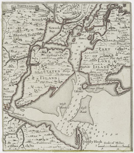
New York and Perthamboy Harbours
27.
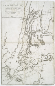
A plan of New York Island, part of Long Island &c : shewing the position of the American & British armies, before, at, and...
28.
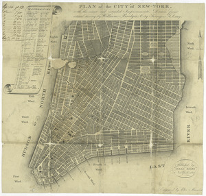
Plan of the city of New York : with the recent and intended improvements
29.
Plan of the city of New-York
30.
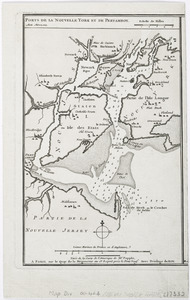
Ports de la Nouvelle York et Pertamboy : aux anglois
‹ Prev
Next ›
1
2