Toggle navigation
LMEC Home
Exhibitions
Georeferencing
Tools for Teachers
Collections
My Favorites
Sign Up / Log In
Search
Search the map portal
Map Collection
Map Collection
Map Sets
Search
Search
Search for
Search In
All Fields
Creator
Title
Subject
Place
Search All Digital Collections
Advanced Search
419 Results
My Search
Start Over
More Like
commonwealth:z603vp98m
Remove constraint More Like: commonwealth:z603vp98m
Filter your Search
Place
North and Central America
329
North America
237
United States
147
Canada
80
New France
14
Northeastern United States
14
New England
13
Great Lakes Region
9
more
Place
»
Topic
North America--Maps--Early works to 1800
240
United States--Maps--Early works to 1800
103
Canada--Maps--Early works to 1800
79
Great Britain--Colonies--America--Maps--Early works to 1800
22
Northeastern States--Maps--Early works to 1800
14
New England--Maps--Early works to 1800
12
British--America--Maps--Early works to 1800
10
Great Lakes Region (North America)--Maps--Early works to 1800
10
more
Topic
»
Date
Date range begin
–
Date range end
Current results range from
1528
to
1899
View distribution
Creator
Bellin, Jacques Nicolas, 1703-1772
21
Mitchell, John, 1711-1768
20
Jefferys, Thomas, -1771
18
Anville, Jean Baptiste Bourguignon d', 1697-1782
17
Gibson, J. (John), active 1750-1792
17
Sayer, Robert, 1725-1794
16
Kitchin, Thomas, 1719-1784
14
Bowen, Emanuel, 1693 or 1694-1767
11
more
Creator
»
Format
Maps/Atlases
419
Manuscripts
4
Georeferenced
Yes
12
No
407
Collection
American Revolutionary War-Era Maps
342
Norman B. Leventhal Map & Education Center Collection
147
MacLean Collection Map Library
126
New York Public Library Collection
83
Richard H. Brown Revolutionary War Map Collection at Mount Vernon
28
Mapping Boston Collection
12
Sidney R. Knafel Map Collection at Phillips Academy
9
Library and Archives Canada Collection
8
more
Collection
»
Available to use
No known restrictions
141
Creative Commons license
130
Search Constraints
Sort by relevance
relevance
title
date (asc)
date (desc)
Number of results to display per page
20 per page
10
per page
20
per page
50
per page
100
per page
View results as:
grid view
map view
Search Results
341.
Nieuwe kaart van de Grootbrittannische volkplantingen in Noord America : waar in tevens de Fransche bezittingen en de Landen,...
342.
North America : performed under the patronage of Louis Duke of Orleans, First Prince of the Blood
343.
North America : from the French of Mr. d'Anville, improved with the back settlements of Virginia and course of Ohio,...
344.
North America : corrected from the observation communicated to the Royal Society at London and the Royal Academy at Paris
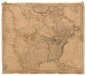
345.
North America
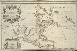
346.
North America
347.
North America
348.
North America divided into its III principall parts : 1st English part viz. English Empire containing ye Articklands near...
349.
North America, divided into its principall parts where are distinguished the severall states which belong to the English,...
350.
North America, drawn from the best authorities
351.
North America from the French of Mr. D'Anville, improved with the back settlements of Virginia and course of Ohio, illustrated...
352.
North America from the French of Mr. D'Anville, improved with the back settlements of Virginia and course of Ohio, illustrated...
353.
North America with the new discoveries
354.
The north part of America : conteyning Newfoundland, new England, Virginia, Florida, new Spaine, and Noua Francia wth ye rich...
355.
The north part of America : conteyning Newfoundland, new England, Virginia, Florida, new Spaine, and Noua Francia wth ye rich...
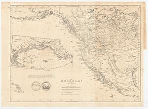
356.
The north-west-coast of North America and adjacent territories
357.
Norumbega et Virginia
358.
Noua Anglia, Nouum Belgium, et Virginia
359.
Noua et accurata totius Americae tabula
360.
Le Nouveau Mexique et la Floride : tirées de diverses cartes, et relations
‹ Prev
Next ›
1
2
…
14
15
16
17
18
19
20
21