Toggle navigation
LMEC Home
Exhibitions
Georeferencing
Tools for Teachers
Collections
My Favorites
Sign Up / Log In
Search
Search the map portal
Map Collection
Map Collection
Map Sets
Search
Search
Search for
Search In
All Fields
Creator
Title
Subject
Place
Search All Digital Collections
Advanced Search
254 Results
My Search
Start Over
More Like
commonwealth:z603vp962
Remove constraint More Like: commonwealth:z603vp962
Filter your Search
Place
North America
230
North and Central America
198
United States
36
Canada
16
South America
9
Mesoamerica
6
New England
6
New York
6
more
Place
»
Topic
North America--Maps--Early works to 1800
240
Great Britain--Colonies--America--Maps--Early works to 1800
19
United States--Maps--Early works to 1800
13
Canada--Maps--Early works to 1800
11
British--America--Maps--Early works to 1800
10
South America--Maps--Early works to 1800
8
West Indies--Maps--Early works to 1800
8
France--Colonies--America--Maps--Early works to 1800
6
more
Topic
»
Date
Date range begin
–
Date range end
Current results range from
1528
to
1850
View distribution
Creator
Mitchell, John, 1711-1768
18
Sayer, Robert, 1725-1794
16
Gibson, J. (John), active 1750-1792
14
Jefferys, Thomas, -1771
14
Anville, Jean Baptiste Bourguignon d', 1697-1782
11
Bowen, Emanuel, 1693 or 1694-1767
11
Moll, Herman, d. 1732
11
Palairet, Jean, 1697-1774
8
more
Creator
»
Format
Maps/Atlases
254
Manuscripts
2
Georeferenced
Yes
5
No
249
Collection
American Revolutionary War-Era Maps
190
Norman B. Leventhal Map & Education Center Collection
113
MacLean Collection Map Library
59
New York Public Library Collection
45
Richard H. Brown Revolutionary War Map Collection at Mount Vernon
18
Mapping Boston Collection
10
Sidney R. Knafel Map Collection at Phillips Academy
8
British Library Collection
3
more
Collection
»
Available to use
No known restrictions
107
Creative Commons license
77
Search Constraints
Sort by relevance
relevance
title
date (asc)
date (desc)
Number of results to display per page
20 per page
10
per page
20
per page
50
per page
100
per page
View results as:
grid view
map view
Search Results
81.
Carte d'un partie de l'Amerique Septentrionale : ou est tracée notre route d'Halifax à New York, par Quebec, Montreal, le Lac...
82.
Carte d'une partie de l'Amérique Septentrionale
83.
Carte d'une partie de l'Amérique Septentrionale pour servir à l'intelligence du mémoire sur les prétentions des Anglois au...
84.
Carte générale de l'Amérique séptentrionale : avec les posséssions Angloises dans cette partie du nouveau monde
85.
Carte générale de l'Amérique séptentrionale avec les posséssions angloises dans cette partie du nouveau monde
86.
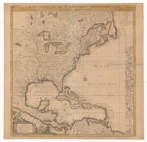
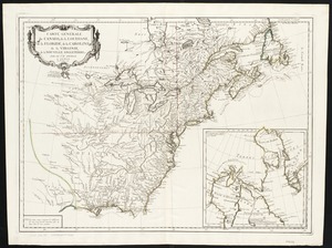
Carte générale du Canada, de la Louisiane, de la Floride, de la Caroline, de la Virginie, de la Nouvelle Angleterre etc
87.
Carte geographique de la Nouvelle Franse
88.
Carte nouvelle de l'Amérique Angloise contenant tout ce que les Anglois possédent sur le continent de l'Amérique...
89.
Carte tres curieuse de la Mer du Sud, contenant des remarques nouvelles et tres utiles non seulement sur les ports et iles de...
90.
Chart of the Atlantic Ocean, with the British, French, & Spanish settlements in North America, and the West Indies : as also on...
91.
Chart of the Atlantic Ocean, with the British, French, & Spanish settlements in North America, and the West Indies : as also on...
92.
Chart of the Atlantic Ocean, with the British, French, & Spanish settlements in North America, and the West Indies : as also on...
93.
Charte über die XIII Vereinigte Staaten von Nord-America = XIII Etats Unis de I'Amerique Septentrionale, d'apres les meilleures...
94.
Le Colonie Unite dell' America Settentr'le di nuova projezione a ss. ee. li signori riformatori dello studio di Padova : con...
95.
Copy of a map presented to the Congres [sic]
96.
Domina Anglorum in America Septentrionali specialibus mappis Londini primum a Mollio edita, nunc recusa ab Homannianis Hered =...
97.
The English Empire in America, Newfound-land, Canada, Hudsons Bay &c. in plano
98.
The English empire in America, Newfound-land, Canada, Hudsons Bay, &c. in plano
99.
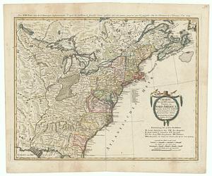
An exact map of North America : from the best authorities
100.
An exact map of North America from the best authorities
‹ Prev
Next ›
1
2
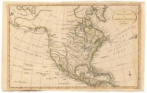
3
4
5
6
7
8
9
…
12
13


![Copy of a map presented to the Congres [sic]](https://bpldcassets.blob.core.windows.net/derivatives/images/commonwealth:z603vn16x/image_thumbnail_300.jpg)